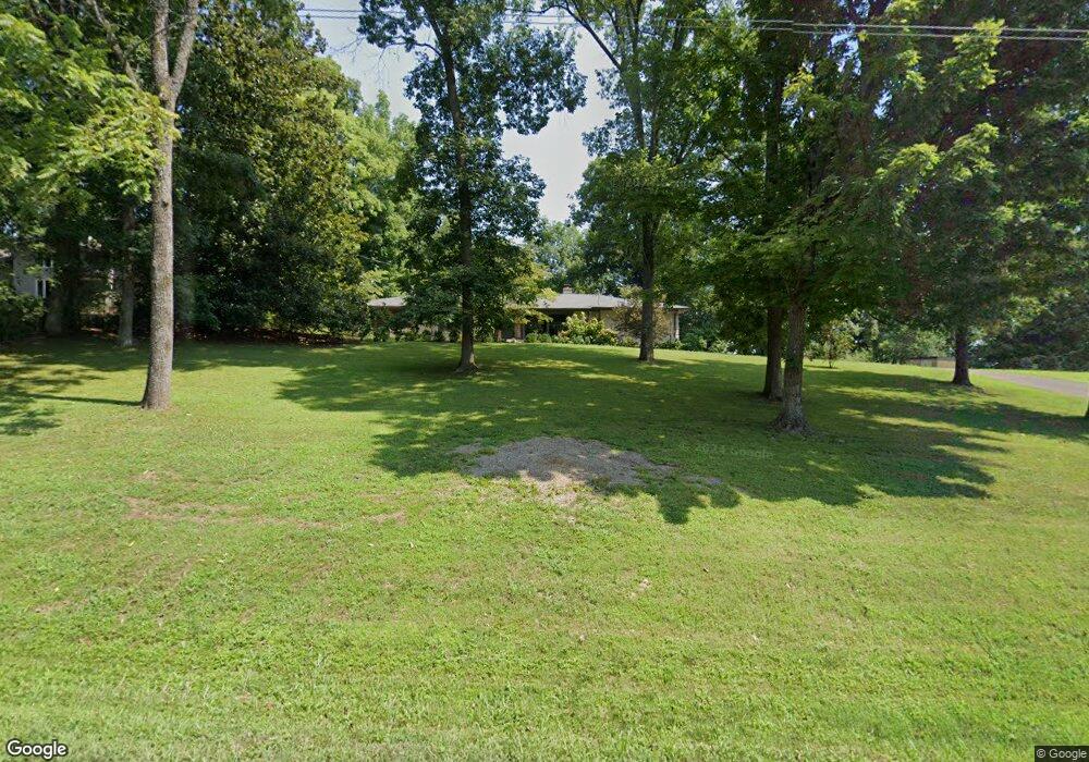
778 Sneed Rd W Franklin, TN 37069
Estimated Value: $668,459 - $984,000
--
Bed
2
Baths
2,236
Sq Ft
$368/Sq Ft
Est. Value
About This Home
This home is located at 778 Sneed Rd W, Franklin, TN 37069 and is currently estimated at $823,365, approximately $368 per square foot. 778 Sneed Rd W is a home located in Williamson County with nearby schools including Grassland Elementary School, Grassland Middle School, and Franklin High School.
Ownership History
Date
Name
Owned For
Owner Type
Purchase Details
Closed on
Aug 3, 2011
Sold by
Conrad William H and Clinard Sally C
Bought by
Mosteller Melissa G
Current Estimated Value
Home Financials for this Owner
Home Financials are based on the most recent Mortgage that was taken out on this home.
Original Mortgage
$214,400
Outstanding Balance
$147,570
Interest Rate
4.52%
Mortgage Type
New Conventional
Estimated Equity
$675,795
Purchase Details
Closed on
Dec 19, 2003
Sold by
Walton Myron J
Bought by
Conrad Dale
Create a Home Valuation Report for This Property
The Home Valuation Report is an in-depth analysis detailing your home's value as well as a comparison with similar homes in the area
Home Values in the Area
Average Home Value in this Area
Purchase History
| Date | Buyer | Sale Price | Title Company |
|---|---|---|---|
| Mosteller Melissa G | $268,000 | None Available | |
| Conrad Dale | $150,000 | -- |
Source: Public Records
Mortgage History
| Date | Status | Borrower | Loan Amount |
|---|---|---|---|
| Open | Mosteller Melissa G | $214,400 |
Source: Public Records
Tax History Compared to Growth
Tax History
| Year | Tax Paid | Tax Assessment Tax Assessment Total Assessment is a certain percentage of the fair market value that is determined by local assessors to be the total taxable value of land and additions on the property. | Land | Improvement |
|---|---|---|---|---|
| 2025 | $1,803 | $175,850 | $107,325 | $68,525 |
| 2024 | $1,803 | $95,900 | $37,275 | $58,625 |
| 2023 | $1,803 | $95,900 | $37,275 | $58,625 |
| 2022 | $1,803 | $95,900 | $37,275 | $58,625 |
| 2021 | $1,803 | $95,900 | $37,275 | $58,625 |
| 2020 | $1,634 | $73,625 | $24,850 | $48,775 |
| 2019 | $1,634 | $73,625 | $24,850 | $48,775 |
| 2018 | $1,583 | $73,625 | $24,850 | $48,775 |
| 2017 | $1,583 | $73,625 | $24,850 | $48,775 |
| 2016 | $0 | $66,300 | $24,850 | $41,450 |
| 2015 | -- | $54,300 | $19,100 | $35,200 |
| 2014 | -- | $54,300 | $19,100 | $35,200 |
Source: Public Records
Map
Nearby Homes
- 161 Saint Andrews Dr
- 123 Saint Andrews Dr
- 896 Sneed Rd W
- 6211 Temple Rd
- 543 Trace Creek Dr
- 5720 Templegate Dr
- 5728 Templegate Dr
- 5621 Traceside Dr
- 8039 Tennessee 100
- 7950 Highway 100
- 159 N Berwick Ln
- 2864 Sawyer Bend Rd
- 7910 Highway 100
- 162 N Berwick Ln
- 7867 Highway 100
- 5233 Timber Gap Dr
- 9157 Highway 100
- 7816 Old Harding Pike
- 805 Silkwood Dr Unit 3
- 815 Silkwood Dr
- 738 Sneed Rd W
- 736 Sneed Rd W
- 1 Wallingford Way
- 2732 Broyles Ln
- 737 Sneed Rd W
- 2724 Broyles Ln
- 2740 Broyles Ln
- 2716 Broyles Ln
- 1101 Harpeth Ridge Rd
- 1103 Harpeth Ridge Rd
- 2719 Broyles Ln
- 2713 Broyles Ln
- 2700 Broyles Ln
- 2750 Broyles Ln
- 897 Cherry Grove Rd
- 733 Sneed Rd W Unit 735
- 893 Cherry Grove Rd
- 2727 Broyles Ln
- 732 Sneed Rd W
- 714 Sneed Rd W