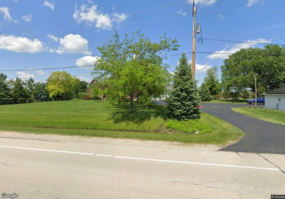
7793 E Sherrill Rd Minooka, IL 60447
North Minooka NeighborhoodEstimated Value: $557,000 - $751,000
4
Beds
3
Baths
3,399
Sq Ft
$182/Sq Ft
Est. Value
About This Home
This home is located at 7793 E Sherrill Rd, Minooka, IL 60447 and is currently estimated at $617,914, approximately $181 per square foot. 7793 E Sherrill Rd is a home located in Kendall County with nearby schools including Jones Elementary School, Minooka Intermediate School, and Minooka Junior High School.
Ownership History
Date
Name
Owned For
Owner Type
Purchase Details
Closed on
Jan 30, 2004
Sold by
Fleming Timothy S
Bought by
Juskiewicz Timothy R and Juskiewicz Susan M
Current Estimated Value
Home Financials for this Owner
Home Financials are based on the most recent Mortgage that was taken out on this home.
Original Mortgage
$92,000
Interest Rate
5.74%
Mortgage Type
Purchase Money Mortgage
Purchase Details
Closed on
Jun 2, 1999
Sold by
Wicburg Carol A
Bought by
Fleming Timothy S
Home Financials for this Owner
Home Financials are based on the most recent Mortgage that was taken out on this home.
Original Mortgage
$32,000
Interest Rate
7.29%
Create a Home Valuation Report for This Property
The Home Valuation Report is an in-depth analysis detailing your home's value as well as a comparison with similar homes in the area
Home Values in the Area
Average Home Value in this Area
Purchase History
| Date | Buyer | Sale Price | Title Company |
|---|---|---|---|
| Juskiewicz Timothy R | $120,000 | -- | |
| Fleming Timothy S | $40,000 | Chicago Title Insurance Co |
Source: Public Records
Mortgage History
| Date | Status | Borrower | Loan Amount |
|---|---|---|---|
| Closed | Juskiewicz Timothy R | $92,000 | |
| Previous Owner | Fleming Timothy S | $32,000 |
Source: Public Records
Tax History Compared to Growth
Tax History
| Year | Tax Paid | Tax Assessment Tax Assessment Total Assessment is a certain percentage of the fair market value that is determined by local assessors to be the total taxable value of land and additions on the property. | Land | Improvement |
|---|---|---|---|---|
| 2024 | $10,179 | $143,942 | $22,905 | $121,037 |
| 2023 | $8,854 | $130,596 | $22,905 | $107,691 |
| 2022 | $8,854 | $120,953 | $19,855 | $101,098 |
| 2021 | $8,559 | $115,192 | $20,157 | $95,035 |
| 2020 | $8,240 | $108,356 | $18,961 | $89,395 |
| 2019 | $8,087 | $103,670 | $18,141 | $85,529 |
| 2018 | $7,736 | $99,311 | $18,141 | $81,170 |
| 2017 | $7,620 | $94,357 | $18,141 | $76,216 |
| 2016 | $7,162 | $87,707 | $17,917 | $69,790 |
| 2015 | $7,150 | $87,707 | $17,917 | $69,790 |
| 2014 | -- | $90,618 | $27,835 | $62,783 |
| 2013 | -- | $90,618 | $27,835 | $62,783 |
Source: Public Records
Map
Nearby Homes
- 15781 Brisbin Rd
- 15771 Brisbin Rd
- 2823 Ninovan Ln
- 2811 Ninovan Ln
- 215 Slalom Ct
- 2812 Ninovan Ln
- 2813 Ninovan Ln
- 2817 Ninovan Ln
- 28 Doral St
- 24 Aspen St
- 3948 N Division St
- 302 N Canal St
- 1133 Coneflower Ct
- LOT 5 Mission Pkwy
- LOT 7 Mission Pkwy
- LOT 6 Mission Pkwy
- 6010-6060 E Minooka Rd
- 180 E Us Route 6
- 2050 Isabella Ln
- 194 acres W Holt Rd