78 High Point Rd Newbury, NH 03255
Estimated Value: $1,882,000 - $1,969,520
4
Beds
4
Baths
3,304
Sq Ft
$583/Sq Ft
Est. Value
About This Home
This home is located at 78 High Point Rd, Newbury, NH 03255 and is currently estimated at $1,927,507, approximately $583 per square foot. 78 High Point Rd is a home located in Merrimack County with nearby schools including Kearsarge Regional Elementary School at Bradford, Kearsarge Regional Middle School, and Kearsarge Regional High School.
Ownership History
Date
Name
Owned For
Owner Type
Purchase Details
Closed on
Feb 24, 2025
Sold by
Laughlin Douglas and Laughlin Maureen
Bought by
Calareso Wendy and Calareso Joseph
Current Estimated Value
Purchase Details
Closed on
Feb 13, 2015
Sold by
Bell Engineering Inc
Bought by
High Mdw Lots 28 & 29 Llc
Purchase Details
Closed on
Nov 7, 2011
Sold by
Bell Engineering Inc
Bought by
Henderson Bart and Henderson Jane
Create a Home Valuation Report for This Property
The Home Valuation Report is an in-depth analysis detailing your home's value as well as a comparison with similar homes in the area
Home Values in the Area
Average Home Value in this Area
Purchase History
| Date | Buyer | Sale Price | Title Company |
|---|---|---|---|
| Calareso Wendy | $1,900,000 | None Available | |
| Calareso Wendy | $1,900,000 | None Available | |
| High Mdw Lots 28 & 29 Llc | $485,000 | -- | |
| High Mdw Lots 28 & 29 Llc | $485,000 | -- | |
| Henderson Bart | $25,000 | -- | |
| Henderson Bart | $25,000 | -- |
Source: Public Records
Mortgage History
| Date | Status | Borrower | Loan Amount |
|---|---|---|---|
| Previous Owner | Henderson Bart | $394,000 | |
| Previous Owner | Henderson Bart | $400,000 |
Source: Public Records
Tax History Compared to Growth
Tax History
| Year | Tax Paid | Tax Assessment Tax Assessment Total Assessment is a certain percentage of the fair market value that is determined by local assessors to be the total taxable value of land and additions on the property. | Land | Improvement |
|---|---|---|---|---|
| 2024 | $17,767 | $1,361,424 | $388,124 | $973,300 |
| 2023 | $17,767 | $1,361,424 | $388,124 | $973,300 |
| 2022 | $15,496 | $1,361,710 | $388,410 | $973,300 |
| 2021 | $15,496 | $1,361,706 | $388,406 | $973,300 |
| 2020 | $13,188 | $798,317 | $217,117 | $581,200 |
| 2019 | $16 | $1,019 | $1,019 | $0 |
| 2018 | $17 | $1,095 | $1,095 | $0 |
| 2017 | $18 | $1,123 | $1,123 | $0 |
| 2016 | $17 | $1,046 | $1,046 | $0 |
| 2015 | $17 | $1,028 | $1,028 | $0 |
| 2014 | $16 | $1,028 | $1,028 | $0 |
| 2013 | $7 | $461 | $461 | $0 |
Source: Public Records
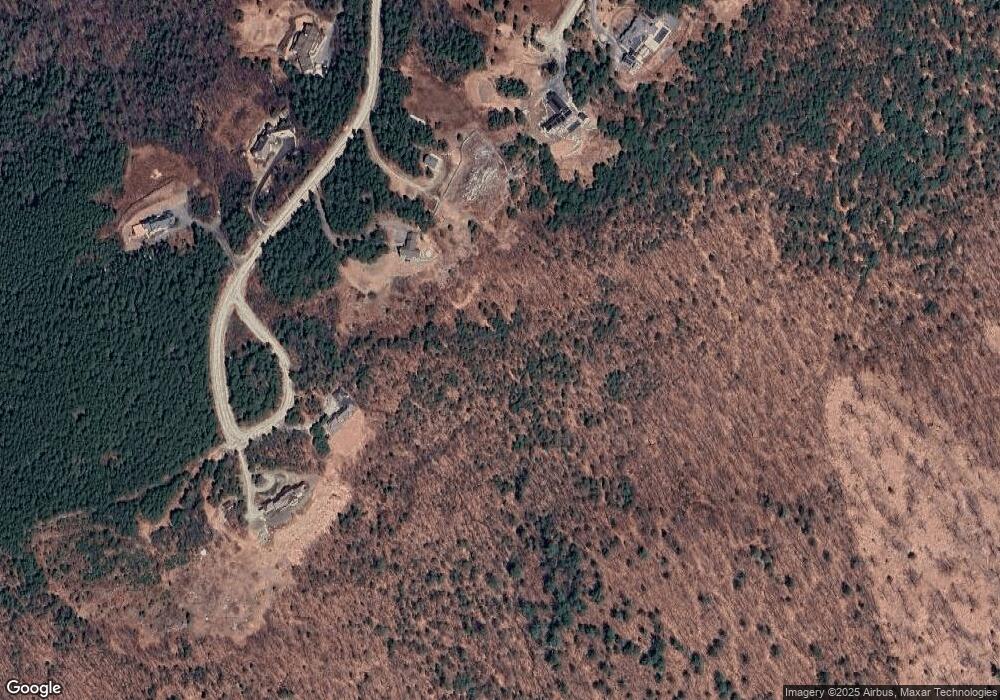
Map
Nearby Homes
- 0 Crest Dr Unit 4996159
- 81 Gerald Dr
- 25 Hilltop Dr
- Lower Crest Rd
- 344 Chalk Pond Rd
- 0 Lakewood Manor Rd Unit 467
- 00 Brookside Rd Unit 530-317&525-332
- 81 Lakewood Manor Rd
- 91 Chalk Pond Rd
- 20 Edgemont Landing Rd
- 6 Chapin Way Unit 6
- 12 Chapin Way Unit Lot 12
- 33 Chandler Brook Rd
- 8 Snow Rd
- 1386 Route 103
- 37 Baker Hill Rd
- 30 Greystone Ln
- 12 Shadow Ln
- 108 Circle View Dr
- 00 Newbury Rd Unit 764-534
- 115 High Point Rd
- 111 High Point Rd
- 85 High Point Rd
- 240 High Meadow Rd
- 89 High Point Rd
- 49 High Point Rd
- 244 High Meadow Rd
- 25 High Point Rd
- 24 High Point Rd
- Lot 25 High Point Rd
- 29 High Point Rd
- 28 High Point Rd
- 0 High Point Rd
- 224 High Meadow Rd
- 41 High Point Rd
- 50 Bartlett Rd
- 187 High Meadow Rd
- 22 Bartlett Rd
- 216 High Meadow Rd
- 17 Bartlett Rd