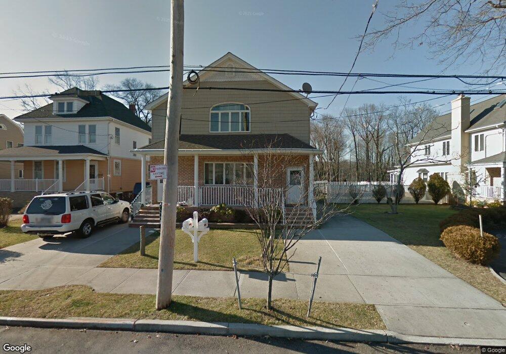
78 Prall Ave Unit 83 Staten Island, NY 10312
Prince's Bay NeighborhoodEstimated Value: $1,065,119 - $1,536,000
--
Bed
--
Bath
2,700
Sq Ft
$460/Sq Ft
Est. Value
About This Home
This home is located at 78 Prall Ave Unit 83, Staten Island, NY 10312 and is currently estimated at $1,242,780, approximately $460 per square foot. 78 Prall Ave Unit 83 is a home located in Richmond County with nearby schools including P.S. 5 - Huguenot, I.S. 007 Elias Bernstein, and Tottenville High School.
Ownership History
Date
Name
Owned For
Owner Type
Purchase Details
Closed on
Dec 28, 2000
Sold by
Walsh Stephen C
Bought by
Deluzio Ronald
Current Estimated Value
Purchase Details
Closed on
Jul 31, 2000
Sold by
Walsh Mabel
Bought by
Walsh Stephen C
Home Financials for this Owner
Home Financials are based on the most recent Mortgage that was taken out on this home.
Original Mortgage
$120,200
Interest Rate
8.06%
Create a Home Valuation Report for This Property
The Home Valuation Report is an in-depth analysis detailing your home's value as well as a comparison with similar homes in the area
Home Values in the Area
Average Home Value in this Area
Purchase History
| Date | Buyer | Sale Price | Title Company |
|---|---|---|---|
| Deluzio Ronald | $150,000 | -- | |
| Walsh Stephen C | $127,000 | Old Republic Natl Title Ins |
Source: Public Records
Mortgage History
| Date | Status | Borrower | Loan Amount |
|---|---|---|---|
| Previous Owner | Walsh Stephen C | $120,200 |
Source: Public Records
Tax History Compared to Growth
Tax History
| Year | Tax Paid | Tax Assessment Tax Assessment Total Assessment is a certain percentage of the fair market value that is determined by local assessors to be the total taxable value of land and additions on the property. | Land | Improvement |
|---|---|---|---|---|
| 2025 | $11,106 | $60,180 | $14,727 | $45,453 |
| 2024 | $11,106 | $58,440 | $14,307 | $44,133 |
| 2023 | $10,829 | $53,914 | $12,638 | $41,276 |
| 2022 | $10,763 | $58,620 | $15,120 | $43,500 |
| 2021 | $10,859 | $51,600 | $15,120 | $36,480 |
| 2020 | $14,658 | $49,860 | $15,120 | $34,740 |
| 2019 | $9,640 | $52,920 | $15,120 | $37,800 |
| 2018 | $9,159 | $44,928 | $11,243 | $33,685 |
| 2017 | $9,159 | $44,928 | $12,793 | $32,135 |
| 2016 | $8,625 | $43,146 | $14,555 | $28,591 |
| 2015 | -- | $40,704 | $11,277 | $29,427 |
| 2014 | -- | $38,400 | $12,600 | $25,800 |
Source: Public Records
Map
Nearby Homes
- 374 Billiou St
- 171 Androvette Ave
- 76 Stecher St
- 5434 Amboy Rd
- 190 Prall Ave
- 27 Ashland Ave E
- 5300 Amboy Rd
- 5635 Amboy Rd
- 53 Ashland Ave E
- 5639 Amboy Rd
- 61 Queensdale St
- 267 Bennett Ave
- 728 Huguenot Ave
- 93 Wheeling Ave
- 274 Ashland Ave
- 694 Edgegrove Ave Unit 715
- 77 Irvington St
- 274 S Railroad St
- 28 Singleton St
- 18 Singleton St