78 Schoolhouse Rd Edgartown, MA 02539
Edgartown NeighborhoodEstimated Value: $1,802,613 - $2,181,000
4
Beds
2
Baths
1,666
Sq Ft
$1,182/Sq Ft
Est. Value
About This Home
This home is located at 78 Schoolhouse Rd, Edgartown, MA 02539 and is currently estimated at $1,968,653, approximately $1,181 per square foot. 78 Schoolhouse Rd is a home located in Dukes County with nearby schools including Edgartown Elementary School and Martha's Vineyard Regional High School.
Ownership History
Date
Name
Owned For
Owner Type
Purchase Details
Closed on
Feb 20, 2004
Sold by
Steenbergen Beverly H Van and Vansteenbergen Beverly H
Bought by
Vansteenbergen Beverly
Current Estimated Value
Purchase Details
Closed on
Apr 13, 1984
Bought by
Vansteenbergen Beverly H
Create a Home Valuation Report for This Property
The Home Valuation Report is an in-depth analysis detailing your home's value as well as a comparison with similar homes in the area
Home Values in the Area
Average Home Value in this Area
Purchase History
| Date | Buyer | Sale Price | Title Company |
|---|---|---|---|
| Vansteenbergen Beverly | -- | -- | |
| Vansteenbergen Beverly H | $20,000 | -- |
Source: Public Records
Mortgage History
| Date | Status | Borrower | Loan Amount |
|---|---|---|---|
| Previous Owner | Vansteenbergen Beverly H | $61,000 |
Source: Public Records
Tax History Compared to Growth
Tax History
| Year | Tax Paid | Tax Assessment Tax Assessment Total Assessment is a certain percentage of the fair market value that is determined by local assessors to be the total taxable value of land and additions on the property. | Land | Improvement |
|---|---|---|---|---|
| 2025 | $4,003 | $1,510,700 | $888,500 | $622,200 |
| 2024 | $3,852 | $1,510,700 | $888,500 | $622,200 |
| 2023 | $3,343 | $1,326,700 | $740,700 | $586,000 |
| 2022 | $3,289 | $1,085,400 | $695,300 | $390,100 |
| 2021 | $6,822 | $966,000 | $604,700 | $361,300 |
| 2020 | $3,172 | $946,900 | $604,700 | $342,200 |
| 2019 | $5,913 | $795,700 | $453,500 | $342,200 |
| 2018 | $5,581 | $765,500 | $508,500 | $257,000 |
| 2017 | $5,226 | $697,100 | $439,800 | $257,300 |
| 2016 | $2,238 | $618,300 | $398,600 | $219,700 |
| 2015 | $2,176 | $627,200 | $398,600 | $228,600 |
Source: Public Records
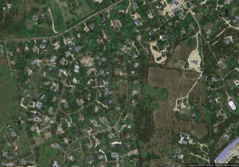
Map
Nearby Homes
- 19 Kitts Field Cir
- 42 Deacon Vincent Way
- 10 Pease Point Rd
- 10 Peases Point Rd
- 42 Road To the Plains
- 16 Schoolhouse Rd
- 10 Duende Ln
- 11A Duarte Cir
- 12 Duarte Cir
- 1 Wilsons Ln
- 58 Road To the Plains
- 8 High St
- 7 Martha's Way
- 8 Court St
- 69 School St
- 5 Louis Field Rd
- 5 Louis Field Rd Unit 121.3
- 11 Norton St
- 43 Peases Point Way S
- 1 Louis Field Rd
- 76 Schoolhouse Rd
- 80 Schoolhouse Rd
- 23 Kitts Field Cir
- 77 Schoolhouse Rd
- 27 Kitts Field Cir
- 79 Schoolhouse Rd
- 75 Schoolhouse Rd
- 27 (lot 2) Kitts Field Cir
- 29 Kitts Field Cir
- 82 Schoolhouse Rd
- 73 Schoolhouse Rd
- 81 Schoolhouse Rd
- 72 Schoolhouse Rd
- 27 (29) Kitts Field Cir
- 24 Kitts Field Cir
- 87 Schoolhouse Rd Unit 87
- 85 Schoolhouse Rd
- 84 Schoolhouse Rd
- 28 Kitts Field Cir
- 68 Schoolhouse Rd