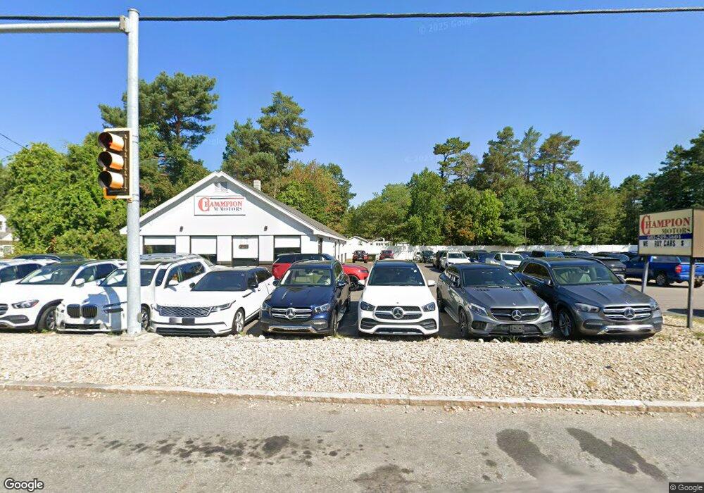
78 State Route 101a Amherst, NH 03031
2
Beds
1
Bath
2,685
Sq Ft
0.86
Acres
About This Home
This home is located at 78 State Route 101a, Amherst, NH 03031. 78 State Route 101a is a home located in Hillsborough County with nearby schools including Wilkins Elementary School, Amherst Middle School, and Souhegan Cooperative High School.
Ownership History
Date
Name
Owned For
Owner Type
Purchase Details
Closed on
Jun 30, 2014
Sold by
Gabriden Realty Llc
Bought by
Salas Realty Llc
Home Financials for this Owner
Home Financials are based on the most recent Mortgage that was taken out on this home.
Original Mortgage
$20,000
Interest Rate
4.42%
Mortgage Type
Commercial
Purchase Details
Closed on
Sep 2, 2004
Sold by
Steinbrueck Waltraud E
Bought by
Gabriden Rlty
Create a Home Valuation Report for This Property
The Home Valuation Report is an in-depth analysis detailing your home's value as well as a comparison with similar homes in the area
Home Values in the Area
Average Home Value in this Area
Purchase History
| Date | Buyer | Sale Price | Title Company |
|---|---|---|---|
| Salas Realty Llc | $500,000 | -- | |
| Salas Realty Llc | $500,000 | -- | |
| Gabriden Rlty | $500,000 | -- | |
| Gabriden Rlty | $500,000 | -- |
Source: Public Records
Mortgage History
| Date | Status | Borrower | Loan Amount |
|---|---|---|---|
| Previous Owner | Gabriden Rlty | $20,000 | |
| Previous Owner | Gabriden Rlty | $200,000 | |
| Previous Owner | Gabriden Rlty | $200,000 |
Source: Public Records
Tax History Compared to Growth
Tax History
| Year | Tax Paid | Tax Assessment Tax Assessment Total Assessment is a certain percentage of the fair market value that is determined by local assessors to be the total taxable value of land and additions on the property. | Land | Improvement |
|---|---|---|---|---|
| 2024 | $11,509 | $501,900 | $283,200 | $218,700 |
| 2023 | $10,982 | $501,900 | $283,200 | $218,700 |
| 2022 | $10,464 | $495,200 | $283,200 | $212,000 |
| 2021 | $10,553 | $495,200 | $283,200 | $212,000 |
| 2020 | $13,428 | $471,500 | $269,700 | $201,800 |
| 2019 | $4,223 | $471,500 | $269,700 | $201,800 |
| 2018 | $7,103 | $450,500 | $269,700 | $180,800 |
| 2017 | $11,718 | $450,500 | $269,700 | $180,800 |
| 2016 | $1,814 | $498,900 | $269,700 | $229,200 |
| 2015 | $11,455 | $432,600 | $275,200 | $157,400 |
| 2014 | $11,533 | $432,600 | $275,200 | $157,400 |
| 2013 | $12,913 | $488,200 | $275,200 | $213,000 |
Source: Public Records
Map
Nearby Homes
- 25 Eastern Ave
- 6 Veterans Rd Unit 15
- 16 Captain Danforth Ln
- 77 Mooar Hill Rd
- 8 Carriage Ln
- 24 Deerwood Dr
- 101-2 Seaverns Bridge Rd
- 15 Four Winds Rd
- 103 Seaverns Bridge Rd
- 105 Seaverns Bridge Rd
- 1 County Rd
- 80 Peaslee Rd
- 148 County Rd
- 150 County Rd Unit 4-142-8
- 150 County Rd
- 2 Benning St
- 2 County Rd
- 10 Drouin Way
- 6 Mason Rd
- 11 Queens Way
- 76 State Route 101a
- 76 New Hampshire 101a Unit 8
- 24 Eastern Ave
- 26 Eastern Ave
- 28 Eastern Ave
- 22 Eastern Ave
- 82 Nh 101a
- 1 Airline Dr
- 82 State Route 101a
- 29 Eastern Ave
- 20 Eastern Ave
- 31 Eastern Ave
- 2 Airline Dr
- 33 Eastern Ave
- 23 Eastern Ave
- 18 Eastern Ave
- 72 State Route 101a
- 4 Airline Dr
- 4 Skyline Dr Unit 46
- 4 Skyline Dr Unit 45