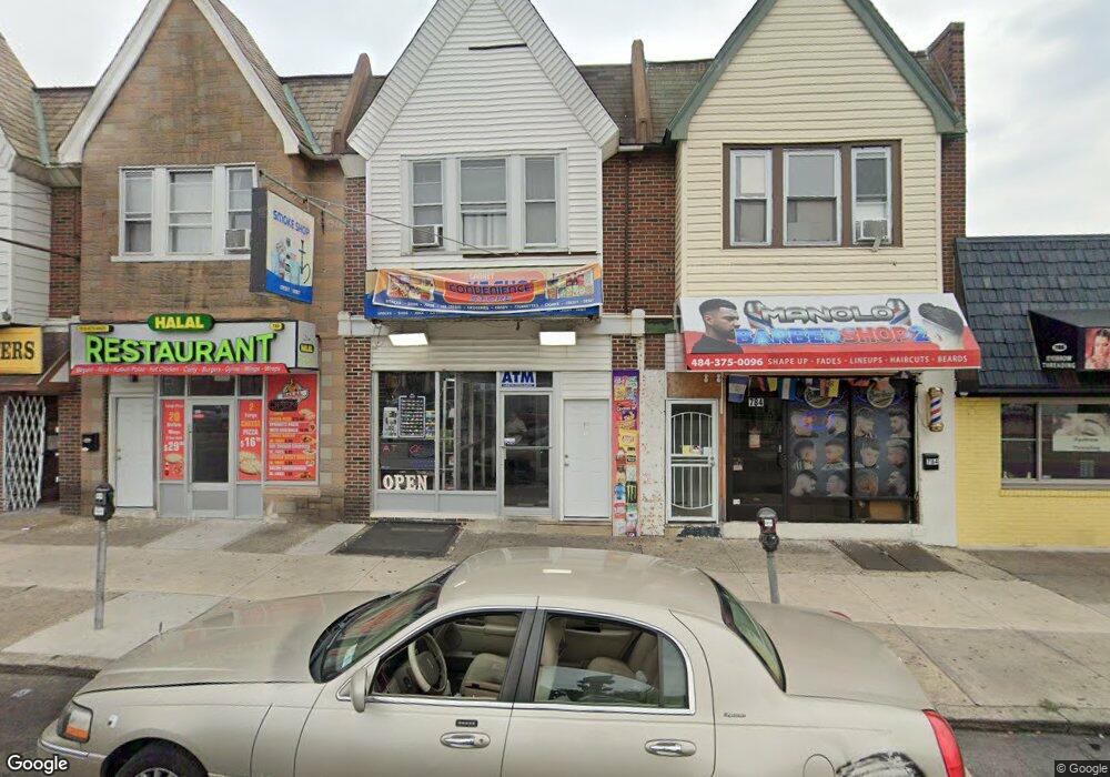
780 Garrett Rd Upper Darby, PA 19082
Estimated Value: $178,491
--
Bed
--
Bath
2,646
Sq Ft
$67/Sq Ft
Est. Value
About This Home
This home is located at 780 Garrett Rd, Upper Darby, PA 19082 and is currently estimated at $178,491, approximately $67 per square foot. 780 Garrett Rd is a home located in Delaware County with nearby schools including Bywood Elementary School, Upper Darby High School, and Holy Child Academy.
Ownership History
Date
Name
Owned For
Owner Type
Purchase Details
Closed on
Sep 1, 2021
Sold by
Ford Gary
Bought by
Buner Llc
Current Estimated Value
Purchase Details
Closed on
Sep 20, 1999
Sold by
Ford Gary D
Bought by
Garrett Trust
Purchase Details
Closed on
Dec 8, 1997
Sold by
Ford Gary D and Ford Doris D
Bought by
Ford Gary D
Purchase Details
Closed on
Sep 30, 1997
Sold by
Freas Karl H and Freas Kathleen J
Bought by
Ford Gary D and Ford Doris D
Purchase Details
Closed on
Dec 18, 1996
Sold by
Willoughby Gladys S
Bought by
Freas Karl H and Freas Kathleen J
Create a Home Valuation Report for This Property
The Home Valuation Report is an in-depth analysis detailing your home's value as well as a comparison with similar homes in the area
Home Values in the Area
Average Home Value in this Area
Purchase History
| Date | Buyer | Sale Price | Title Company |
|---|---|---|---|
| Buner Llc | $130,000 | Suburban Abstract Agency Inc | |
| Garrett Trust | -- | -- | |
| Ford Gary D | -- | -- | |
| Ford Gary D | $65,000 | -- | |
| Freas Karl H | -- | -- |
Source: Public Records
Tax History Compared to Growth
Tax History
| Year | Tax Paid | Tax Assessment Tax Assessment Total Assessment is a certain percentage of the fair market value that is determined by local assessors to be the total taxable value of land and additions on the property. | Land | Improvement |
|---|---|---|---|---|
| 2025 | $5,493 | $129,890 | $27,520 | $102,370 |
| 2024 | $5,493 | $129,890 | $27,520 | $102,370 |
| 2023 | $5,051 | $120,560 | $27,520 | $93,040 |
| 2022 | $4,915 | $120,560 | $27,520 | $93,040 |
| 2021 | $6,627 | $120,560 | $27,520 | $93,040 |
| 2020 | $4,044 | $62,520 | $15,630 | $46,890 |
| 2019 | $3,973 | $62,520 | $15,630 | $46,890 |
| 2018 | $3,927 | $62,520 | $0 | $0 |
| 2017 | $3,825 | $62,520 | $0 | $0 |
| 2016 | $343 | $62,520 | $0 | $0 |
| 2015 | $350 | $62,520 | $0 | $0 |
| 2014 | $350 | $62,520 | $0 | $0 |
Source: Public Records
Map
Nearby Homes
- 772 Garrett Rd
- 790 Garrett Rd
- 790 Garrett Rd Unit 2
- 794 Garrett Rd
- 792 Garrett Rd
- 792 Garrett Rd Unit FIRST FLOOR
- 0 Garrett Rd Unit E-201 PADE2099986
- 0 Garrett Rd Unit E-101 PADE2099982
- 0 Garrett Rd Unit F-101
- 386 Avon Rd
- 382 Avon Rd
- 380 Avon Rd
- 378 Avon Rd
- 374 Avon Rd
- 778 Garrett Rd
- 786 Garrett Rd
- 784 Garrett Rd
- 800 Garrett Rd
- 392 Avon Rd
- 392 Avon Rd Unit 2