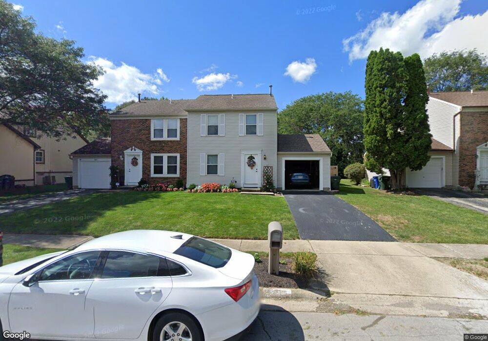
7815 Stoneford Dr Columbus, OH 43235
Summerwood NeighborhoodEstimated Value: $213,000 - $274,315
2
Beds
2
Baths
1,200
Sq Ft
$203/Sq Ft
Est. Value
About This Home
This home is located at 7815 Stoneford Dr, Columbus, OH 43235 and is currently estimated at $244,079, approximately $203 per square foot. 7815 Stoneford Dr is a home located in Franklin County with nearby schools including Granby Elementary School, McCord Middle School, and Worthington Kilbourne High School.
Ownership History
Date
Name
Owned For
Owner Type
Purchase Details
Closed on
Mar 30, 2021
Sold by
Odell Judith L
Bought by
Bowron John
Current Estimated Value
Home Financials for this Owner
Home Financials are based on the most recent Mortgage that was taken out on this home.
Original Mortgage
$116,000
Outstanding Balance
$104,734
Interest Rate
3%
Mortgage Type
New Conventional
Estimated Equity
$139,345
Purchase Details
Closed on
Mar 30, 1993
Bought by
Odell Judith L
Purchase Details
Closed on
Mar 1, 1984
Create a Home Valuation Report for This Property
The Home Valuation Report is an in-depth analysis detailing your home's value as well as a comparison with similar homes in the area
Home Values in the Area
Average Home Value in this Area
Purchase History
| Date | Buyer | Sale Price | Title Company |
|---|---|---|---|
| Bowron John | $145,000 | Northwest Select Ttl Agcy Ll | |
| Odell Judith L | $60,000 | -- | |
| -- | $58,600 | -- |
Source: Public Records
Mortgage History
| Date | Status | Borrower | Loan Amount |
|---|---|---|---|
| Open | Bowron John | $116,000 |
Source: Public Records
Tax History Compared to Growth
Tax History
| Year | Tax Paid | Tax Assessment Tax Assessment Total Assessment is a certain percentage of the fair market value that is determined by local assessors to be the total taxable value of land and additions on the property. | Land | Improvement |
|---|---|---|---|---|
| 2024 | $5,199 | $80,650 | $19,290 | $61,360 |
| 2023 | $4,982 | $80,640 | $19,285 | $61,355 |
| 2022 | $4,449 | $56,920 | $12,850 | $44,070 |
| 2021 | $3,885 | $56,920 | $12,850 | $44,070 |
| 2020 | $3,742 | $56,920 | $12,850 | $44,070 |
| 2019 | $3,456 | $47,430 | $10,710 | $36,720 |
| 2018 | $3,169 | $47,430 | $10,710 | $36,720 |
| 2017 | $3,043 | $47,430 | $10,710 | $36,720 |
| 2016 | $2,990 | $42,110 | $9,940 | $32,170 |
| 2015 | $2,990 | $42,110 | $9,940 | $32,170 |
| 2014 | $2,989 | $42,110 | $9,940 | $32,170 |
| 2013 | $1,487 | $42,105 | $9,940 | $32,165 |
Source: Public Records
Map
Nearby Homes
- 2001 Sawbury Blvd Unit 2001
- 2074 Hard Rd
- 1889 Slaton Ct Unit 1889
- 2220 Surreygate Dr
- 1828 Gardenstone Dr
- 1827 Watertower Dr Unit 1827
- 1825 Watertower Dr Unit 1825
- 1930 Shallowford Ave
- 1692 Weather Stone Ln
- 8108 Smoky Row Rd
- 2392 Dunsworth Dr
- 2161 Heatherfield Ave
- 1721 Worthington Run Dr Unit 1721-1731
- 2456 Sanford Dr
- 6921 Spruce Pine Dr
- 2469 Sandstrom Dr
- 1637 Park Row Dr Unit F
- 2488 Dunstan Dr
- 1908 Lost Valley Rd
- 1620 Park Row Dr Unit A
- 7825 Stoneford Dr
- 7813 Stoneford Dr
- 7827 Stoneford Dr
- 7801 Stoneford Dr Unit 803
- 7833 Stoneford Dr
- 7618 Selwyn Ct
- 7608 Satterfield Rd
- 7626 Selwyn Ct
- 7835 Stoneford Dr
- 7795 Stoneford Dr
- 7600 Satterfield Rd
- 2009 Starbridge Ct
- 2010 Starbridge Ct
- 7634 Selwyn Ct
- 7841 Stoneford Dr
- 7793 Stoneford Dr
- 7590 Satterfield Rd
- 2004 Starbridge Ct
- 7843 Stoneford Dr
- 2001 Starbridge Ct