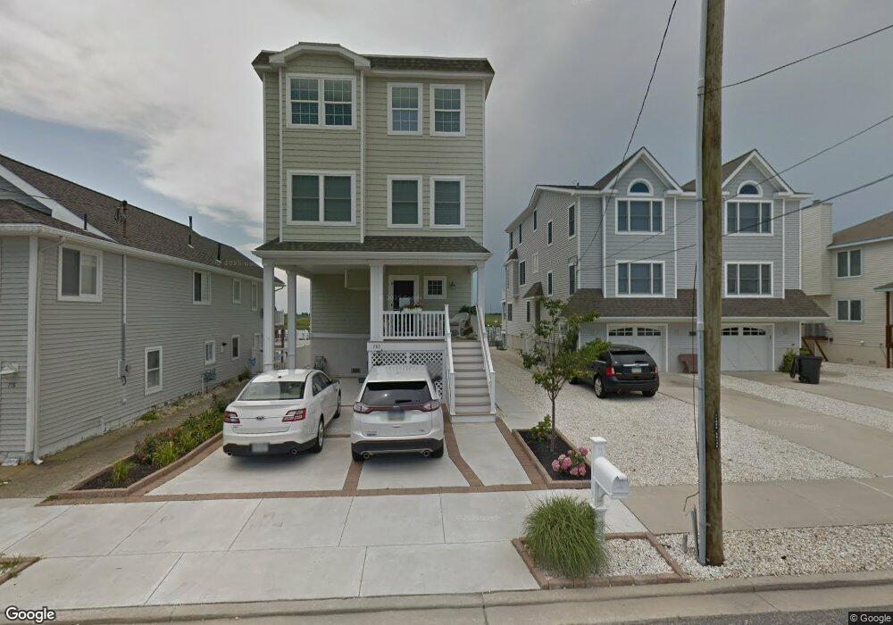
782 21st St Avalon, NJ 08202
Estimated Value: $3,020,008 - $4,000,000
--
Bed
--
Bath
3,016
Sq Ft
$1,136/Sq Ft
Est. Value
About This Home
This home is located at 782 21st St, Avalon, NJ 08202 and is currently estimated at $3,425,502, approximately $1,135 per square foot. 782 21st St is a home located in Cape May County with nearby schools including Avalon Elementary School.
Ownership History
Date
Name
Owned For
Owner Type
Purchase Details
Closed on
Jan 11, 2013
Sold by
Gleason Michael T
Bought by
Gleason Michael T
Current Estimated Value
Purchase Details
Closed on
Apr 17, 2010
Sold by
Gleason Thomas M and Gleason Barbara A
Bought by
Gleason Michael T
Home Financials for this Owner
Home Financials are based on the most recent Mortgage that was taken out on this home.
Original Mortgage
$450,000
Interest Rate
4.44%
Mortgage Type
Seller Take Back
Create a Home Valuation Report for This Property
The Home Valuation Report is an in-depth analysis detailing your home's value as well as a comparison with similar homes in the area
Home Values in the Area
Average Home Value in this Area
Purchase History
| Date | Buyer | Sale Price | Title Company |
|---|---|---|---|
| Gleason Michael T | -- | None Available | |
| Gleason Michael T | $550,000 | None Available |
Source: Public Records
Mortgage History
| Date | Status | Borrower | Loan Amount |
|---|---|---|---|
| Closed | Gleason Michael T | $450,000 |
Source: Public Records
Tax History Compared to Growth
Tax History
| Year | Tax Paid | Tax Assessment Tax Assessment Total Assessment is a certain percentage of the fair market value that is determined by local assessors to be the total taxable value of land and additions on the property. | Land | Improvement |
|---|---|---|---|---|
| 2025 | $9,365 | $1,525,200 | $985,500 | $539,700 |
| 2024 | $9,365 | $1,525,200 | $985,500 | $539,700 |
| 2023 | $9,288 | $1,525,200 | $985,500 | $539,700 |
| 2022 | $8,663 | $1,525,200 | $985,500 | $539,700 |
| 2021 | $8,342 | $1,525,200 | $985,500 | $539,700 |
| 2020 | $8,023 | $1,525,200 | $985,500 | $539,700 |
| 2019 | $7,779 | $1,525,200 | $985,500 | $539,700 |
| 2018 | $7,443 | $1,525,200 | $985,500 | $539,700 |
| 2017 | $7,712 | $1,387,000 | $916,800 | $470,200 |
| 2016 | $7,629 | $1,387,000 | $916,800 | $470,200 |
| 2015 | $7,504 | $1,387,000 | $916,800 | $470,200 |
| 2014 | $7,420 | $916,800 | $916,800 | $0 |
Source: Public Records
Map
Nearby Homes
- 647 Barry Rd
- 503 20th St
- 704 Old Avalon Blvd
- 440 21st St Unit South (B)
- 431 24th St
- 415 20th St
- 890 21st St
- 389 22nd St
- 297 24th St Unit 297
- 297 24th St
- 2425 Harbor Ave Unit 2425
- 9 Seabreeze Ln
- 211 23rd St
- 212 25th St
- 212 25th St Unit East Unit
- 571 Avalon Blvd
- 178 19th St
- 279 13th St Unit C-6
- 279 13th St
- 174 23rd St
- 776 21st St
- 792 21st St
- 792 21st St
- 768 21st St
- 768 21st St Unit West
- 768 21st St Unit Wesy
- 768 21st St Unit East
- 748 21st St
- 798 21st St
- 798 21st St
- 798 Sunrise Dr
- 756 21st St
- 756 21st St Unit East
- 813 Sunrise Dr
- 804 21st St
- 804 21st St
- 792 Sunrise Dr Unit East
- 792 Sunrise Dr
- 794 Sunrise Dr
- 746 21st St