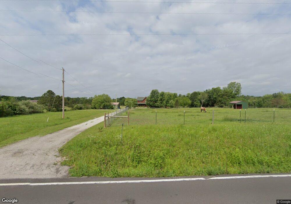
7821 Highway Ff Grubville, MO 63041
Estimated Value: $475,000 - $490,985
3
Beds
4
Baths
2,856
Sq Ft
$169/Sq Ft
Est. Value
About This Home
This home is located at 7821 Highway Ff, Grubville, MO 63041 and is currently estimated at $482,993, approximately $169 per square foot. 7821 Highway Ff is a home located in Franklin County with nearby schools including Lonedell Elementary School.
Ownership History
Date
Name
Owned For
Owner Type
Purchase Details
Closed on
Jun 10, 2021
Sold by
Prince Richard K and Prince Deborah S
Bought by
Rikand Andrew and Rikand Lisa
Current Estimated Value
Home Financials for this Owner
Home Financials are based on the most recent Mortgage that was taken out on this home.
Original Mortgage
$279,920
Outstanding Balance
$252,326
Interest Rate
2.9%
Mortgage Type
New Conventional
Estimated Equity
$230,667
Purchase Details
Closed on
Nov 2, 2007
Sold by
Shaw Steven A and Shaw Sara L
Bought by
Prince Richard K and Prince Deborah S
Home Financials for this Owner
Home Financials are based on the most recent Mortgage that was taken out on this home.
Original Mortgage
$198,400
Interest Rate
6.38%
Mortgage Type
New Conventional
Create a Home Valuation Report for This Property
The Home Valuation Report is an in-depth analysis detailing your home's value as well as a comparison with similar homes in the area
Purchase History
| Date | Buyer | Sale Price | Title Company |
|---|---|---|---|
| Rikand Andrew | -- | None Available | |
| Prince Richard K | -- | None Available |
Source: Public Records
Mortgage History
| Date | Status | Borrower | Loan Amount |
|---|---|---|---|
| Open | Rikand Andrew | $279,920 | |
| Previous Owner | Prince Richard K | $198,400 |
Source: Public Records
Tax History
| Year | Tax Paid | Tax Assessment Tax Assessment Total Assessment is a certain percentage of the fair market value that is determined by local assessors to be the total taxable value of land and additions on the property. | Land | Improvement |
|---|---|---|---|---|
| 2025 | $3,723 | $59,577 | $0 | $0 |
| 2024 | $3,723 | $48,590 | $0 | $0 |
| 2023 | $2,773 | $48,590 | $0 | $0 |
| 2022 | $3,104 | $54,371 | $0 | $0 |
| 2021 | $3,098 | $54,371 | $0 | $0 |
| 2020 | $3,020 | $52,204 | $0 | $0 |
| 2019 | $3,013 | $52,204 | $0 | $0 |
| 2018 | $2,699 | $46,492 | $0 | $0 |
| 2017 | $2,676 | $46,492 | $0 | $0 |
| 2016 | $2,437 | $42,272 | $0 | $0 |
| 2015 | $2,429 | $42,272 | $0 | $0 |
| 2014 | $2,362 | $42,300 | $0 | $0 |
Source: Public Records
Map
Nearby Homes
- 7798 Highway Ff
- 0 Diamond School Rd
- 1044 Birch Dr
- 420 Nancy Dr
- 676 Lynn Ln
- 00 Rhodes Ridge Loop
- 0 Canyon Ln
- 0 Alpine Rd Unit MAR24059049
- 28 Kelemen Farms W
- 9724 Highway Hh
- 4598 Highway 30
- 2227 State Route N
- LOT 16 Tranquility Ln
- 10028 Maple Dr
- 7816 Rye Creek Rd
- 424 Wild Turkey Ln
- 1811 Hendricks Rd
- 1855 Hendricks Rd
- 9106 Buckeye Rd
- 8490 Hickory Ln - Ethan's Landing Lot C 3 Acres
- 7821 Highway Ff
- 7809 Highway Ff
- 7841 Highway Ff
- 7824 Highway Ff
- 7824 Highway Ff
- 7840 Highway Ff
- 7794 Highway Ff
- 7778 Highway Ff
- 7808 Highway Ff
- 7856 Highway Ff
- 7863 Highway Ff
- 1027 Luebbering Rd
- 278 Heirs Ln
- 1025 Luebbering Rd
- 7873 Highway Ff
- 960 Pianissimo Ln
- 1003 Luebbering Rd
- 1041 Luebbering Rd
- 1021 Luebbering Rd
- 7809 Hwy Ff
Your Personal Tour Guide
Ask me questions while you tour the home.