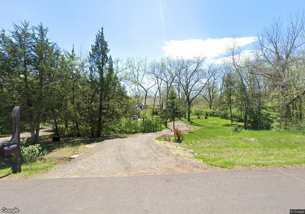
7821 SW 12th St Topeka, KS 66615
Estimated Value: $440,000 - $566,000
3
Beds
4
Baths
3,451
Sq Ft
$148/Sq Ft
Est. Value
About This Home
This home is located at 7821 SW 12th St, Topeka, KS 66615 and is currently estimated at $510,340, approximately $147 per square foot. 7821 SW 12th St is a home located in Shawnee County with nearby schools including Wanamaker Elementary School, Washburn Rural Middle School, and Washburn Rural High School.
Ownership History
Date
Name
Owned For
Owner Type
Purchase Details
Closed on
Sep 3, 2010
Sold by
Capitol Federal Savings Bank
Bought by
Rhoads Jeffrey and Rhoads Judith
Current Estimated Value
Home Financials for this Owner
Home Financials are based on the most recent Mortgage that was taken out on this home.
Original Mortgage
$222,400
Interest Rate
3.96%
Mortgage Type
New Conventional
Purchase Details
Closed on
Jan 11, 2010
Sold by
Stanley Martha Booth
Bought by
Capitol Federal Savings Bank and Capitol Federal Savings & Loan Associati
Create a Home Valuation Report for This Property
The Home Valuation Report is an in-depth analysis detailing your home's value as well as a comparison with similar homes in the area
Home Values in the Area
Average Home Value in this Area
Purchase History
| Date | Buyer | Sale Price | Title Company |
|---|---|---|---|
| Rhoads Jeffrey | -- | Capital Title Insurance Comp | |
| Capitol Federal Savings Bank | $384,128 | Kansas Secured Title |
Source: Public Records
Mortgage History
| Date | Status | Borrower | Loan Amount |
|---|---|---|---|
| Closed | Rhoads Jeffrey | $222,400 |
Source: Public Records
Tax History Compared to Growth
Tax History
| Year | Tax Paid | Tax Assessment Tax Assessment Total Assessment is a certain percentage of the fair market value that is determined by local assessors to be the total taxable value of land and additions on the property. | Land | Improvement |
|---|---|---|---|---|
| 2025 | $6,606 | $49,181 | -- | -- |
| 2023 | $6,606 | $46,361 | $0 | $0 |
| 2022 | $5,505 | $41,767 | $0 | $0 |
| 2021 | $4,844 | $37,628 | $0 | $0 |
| 2020 | $4,649 | $36,890 | $0 | $0 |
| 2019 | $4,618 | $36,167 | $0 | $0 |
| 2018 | $4,309 | $36,167 | $0 | $0 |
| 2017 | $4,522 | $35,457 | $0 | $0 |
| 2014 | $4,503 | $34,592 | $0 | $0 |
Source: Public Records
Map
Nearby Homes
- 1010 SW Ottawa Trail
- 7027 SW 10th St
- 7639 SW 19th St
- 1717 SW Stone Crest Dr
- 2240 SW Millers Glen Dr
- 7345 SW 23rd Ct
- 7237 SW 23rd Ct
- 0000 SW 24th Terrace
- 8001 SW 24th St
- 7700 SW 24th Terrace
- 2418 SW Romar Rd
- 2040 SW Cottonwood Ln
- Blake Plan at Sherwood Park - Sherwood
- Olivia Plan at Sherwood Park - Sherwood
- Xavier Plan at Sherwood Park - Sherwood
- Heidi Plan at Sherwood Park - Sherwood
- Karlyn Plan at Sherwood Park - Sherwood
- Liam Plan at Sherwood Park - Sherwood
- Kate Plan at Sherwood Park - Sherwood
- Noah Plan at Sherwood Park - Sherwood
- 7831 SW 12th St
- 7811 SW 12th St
- 1121 SW Chetopa Trail
- 7841 SW 12th St
- 7838 SW 12th St
- 1140 SW Chetopa Trail
- 7828 SW Huntoon St
- 1124 SW Chetopa Trail
- 1132 SW Chetopa Trail
- 7820 SW Huntoon St
- 1116 SW Chetopa Trail
- 7911 SW 12th St
- 7834 SW Huntoon St
- 1110 SW Ottawa Trail
- 7821 SW Hiawatha Dr
- 7800 SW Huntoon St
- 7930 SW Huntoon St
- 1137 SW Indian Hills Rd
- 7920 SW 12th St
- 1123 SW Ottawa Trail