78220 197th St Albert Lea, MN 56007
Estimated Value: $335,000 - $466,000
3
Beds
3
Baths
3,232
Sq Ft
$125/Sq Ft
Est. Value
About This Home
This home is located at 78220 197th St, Albert Lea, MN 56007 and is currently estimated at $404,158, approximately $125 per square foot. 78220 197th St is a home located in Freeborn County with nearby schools including Halverson Elementary School, Southwest Middle School, and Albert Lea Senior High School.
Ownership History
Date
Name
Owned For
Owner Type
Purchase Details
Closed on
Feb 15, 2018
Sold by
Quiram James C and Quiram Jennifer L
Bought by
Rittenhouse Kalli J and Koppelman Carl
Current Estimated Value
Home Financials for this Owner
Home Financials are based on the most recent Mortgage that was taken out on this home.
Original Mortgage
$247,500
Outstanding Balance
$209,873
Interest Rate
4.04%
Mortgage Type
New Conventional
Estimated Equity
$194,285
Purchase Details
Closed on
Nov 9, 2010
Sold by
Theodore M Theodore M and Gill Peter M
Bought by
Quiram Jamnes C
Create a Home Valuation Report for This Property
The Home Valuation Report is an in-depth analysis detailing your home's value as well as a comparison with similar homes in the area
Home Values in the Area
Average Home Value in this Area
Purchase History
| Date | Buyer | Sale Price | Title Company |
|---|---|---|---|
| Rittenhouse Kalli J | $275,000 | None Available | |
| Quiram Jamnes C | -- | -- |
Source: Public Records
Mortgage History
| Date | Status | Borrower | Loan Amount |
|---|---|---|---|
| Open | Rittenhouse Kalli J | $247,500 |
Source: Public Records
Tax History Compared to Growth
Tax History
| Year | Tax Paid | Tax Assessment Tax Assessment Total Assessment is a certain percentage of the fair market value that is determined by local assessors to be the total taxable value of land and additions on the property. | Land | Improvement |
|---|---|---|---|---|
| 2025 | $3,352 | $362,800 | $72,400 | $290,400 |
| 2024 | $3,172 | $315,500 | $72,400 | $243,100 |
| 2023 | $3,096 | $292,600 | $72,400 | $220,200 |
| 2022 | $3,188 | $284,800 | $57,400 | $227,400 |
| 2021 | $3,058 | $251,200 | $49,900 | $201,300 |
| 2020 | $2,888 | $226,600 | $39,900 | $186,700 |
| 2019 | $2,818 | $226,600 | $39,900 | $186,700 |
| 2018 | $2,520 | $0 | $0 | $0 |
| 2016 | $2,266 | $0 | $0 | $0 |
| 2015 | $2,282 | $0 | $0 | $0 |
| 2014 | $2,368 | $0 | $0 | $0 |
| 2012 | $3,168 | $0 | $0 | $0 |
Source: Public Records
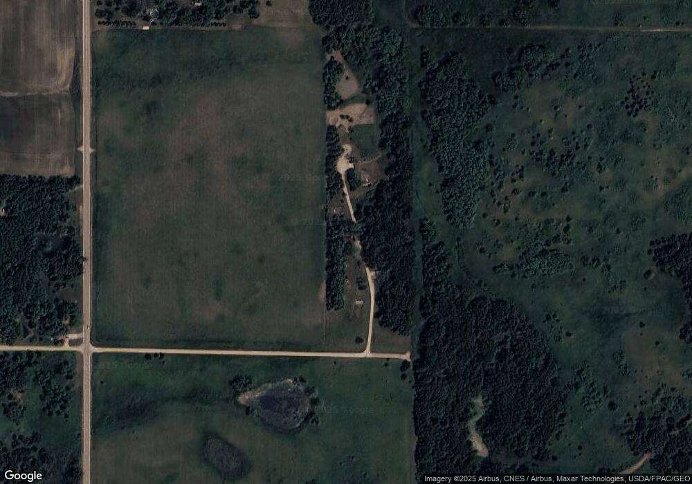
Map
Nearby Homes
- 78665 County Road 46
- 1916 E Main St
- 1617 S Shore Dr
- 2216 Eunice Dr
- 505 Wayside Ave
- 1715 SE Marshall St
- 611 Ulstad Ave
- 1420 Frank Hall Dr
- 1200 Crestview Rd
- 614 Garfield Ave
- 505 Pillsbury Ave
- 621 E 7th St
- 819 Pillsbury Ave
- 602 Minnesota Ave
- 1212 Saint Joseph Ave
- 1224 Saint Joseph Ave
- 509 E 4th St
- 713 Minnesota Ave
- 1321 Garfield Ave
- 1007 Frank Ave