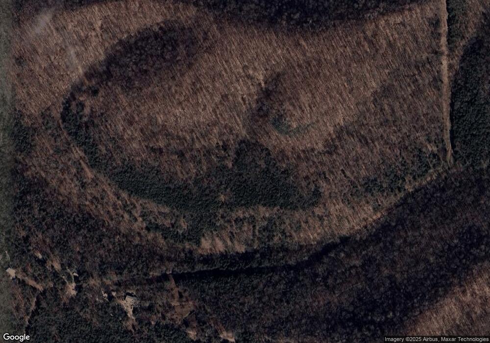
783 Poplar Rd Silver Point, TN 38582
Estimated Value: $241,000 - $497,000
3
Beds
5
Baths
2,070
Sq Ft
$167/Sq Ft
Est. Value
About This Home
This home is located at 783 Poplar Rd, Silver Point, TN 38582 and is currently estimated at $346,623, approximately $167 per square foot. 783 Poplar Rd is a home located in DeKalb County.
Ownership History
Date
Name
Owned For
Owner Type
Purchase Details
Closed on
Jun 5, 2008
Sold by
Guy John and Guy Debbie
Bought by
Beal Cameron David
Current Estimated Value
Home Financials for this Owner
Home Financials are based on the most recent Mortgage that was taken out on this home.
Original Mortgage
$122,400
Outstanding Balance
$78,503
Interest Rate
6.04%
Mortgage Type
Cash
Estimated Equity
$268,120
Create a Home Valuation Report for This Property
The Home Valuation Report is an in-depth analysis detailing your home's value as well as a comparison with similar homes in the area
Home Values in the Area
Average Home Value in this Area
Purchase History
| Date | Buyer | Sale Price | Title Company |
|---|---|---|---|
| Beal Cameron David | $118,500 | -- |
Source: Public Records
Mortgage History
| Date | Status | Borrower | Loan Amount |
|---|---|---|---|
| Open | Beal Cameron David | $122,400 |
Source: Public Records
Tax History Compared to Growth
Tax History
| Year | Tax Paid | Tax Assessment Tax Assessment Total Assessment is a certain percentage of the fair market value that is determined by local assessors to be the total taxable value of land and additions on the property. | Land | Improvement |
|---|---|---|---|---|
| 2024 | $1,222 | $48,675 | $11,050 | $37,625 |
| 2023 | $974 | $48,675 | $11,050 | $37,625 |
| 2022 | $842 | $48,675 | $11,050 | $37,625 |
| 2021 | $842 | $48,675 | $11,050 | $37,625 |
| 2020 | $677 | $48,675 | $11,050 | $37,625 |
| 2019 | $677 | $31,900 | $5,275 | $26,625 |
| 2018 | $585 | $31,900 | $5,275 | $26,625 |
| 2017 | $585 | $31,900 | $5,275 | $26,625 |
| 2016 | $585 | $31,900 | $5,275 | $26,625 |
| 2015 | $517 | $31,900 | $5,275 | $26,625 |
| 2014 | $536 | $33,100 | $5,275 | $27,825 |
| 2013 | $536 | $33,100 | $5,275 | $27,825 |
Source: Public Records
Map
Nearby Homes
- 1570 Wolf Creek Rd
- 6285 Medley Amonette Rd
- 0 Medley Amonette Rd Unit RTC2209108
- 7775 Medley Amonette Rd
- 678 Love Valley Rd
- 0 Poplar Flatt Rd
- 191 Park Dr
- 16435 Wallace Hollow Rd
- 0 Hwy 56 Unit RTC3012431
- 0 Lafever Ridge Rd Unit RTC2899996
- 84 Judd Ln
- 21 Harbor Point Rd
- Lot 57 Harbor Pointe Dr
- 0 Harbor Pointe Dr
- 19 Harbor Pointe Dr
- 43 Moss Bend Ln
- 0 Harbor Dr Unit RTC3001271
- 0 Harbor Dr Unit RTC2996114
- Lot 114 Harbor Pointe Dr
- 106 Harbor Pointe Dr
- 705 Poplar Rd
- 560 Poplar Rd
- 14 Wolf Creek Rd
- 14.69 Wolf Creek Rd
- 10.41 AC Wolf Creek Rd
- 3AC Wolf Creek Rd
- 00 Wolf Creek Rd
- 0 State 141
- 1100 Rustic Cove Ln
- 313 Poplar Rd
- 90 AC Poplar Rd
- 2927 Wolf Creek Rd
- 2985 Wolf Creek Rd
- 1587 Wolf Creek Rd
- 1761 Wolf Creek Rd
- 1616 Wolf Creek Rd
- 1581 Wolf Creek Rd
- 0 Watson Rd Unit 1811040
- 3270 Wolf Creek Rd Unit 141
- 1489 Wolf Creek Rd
