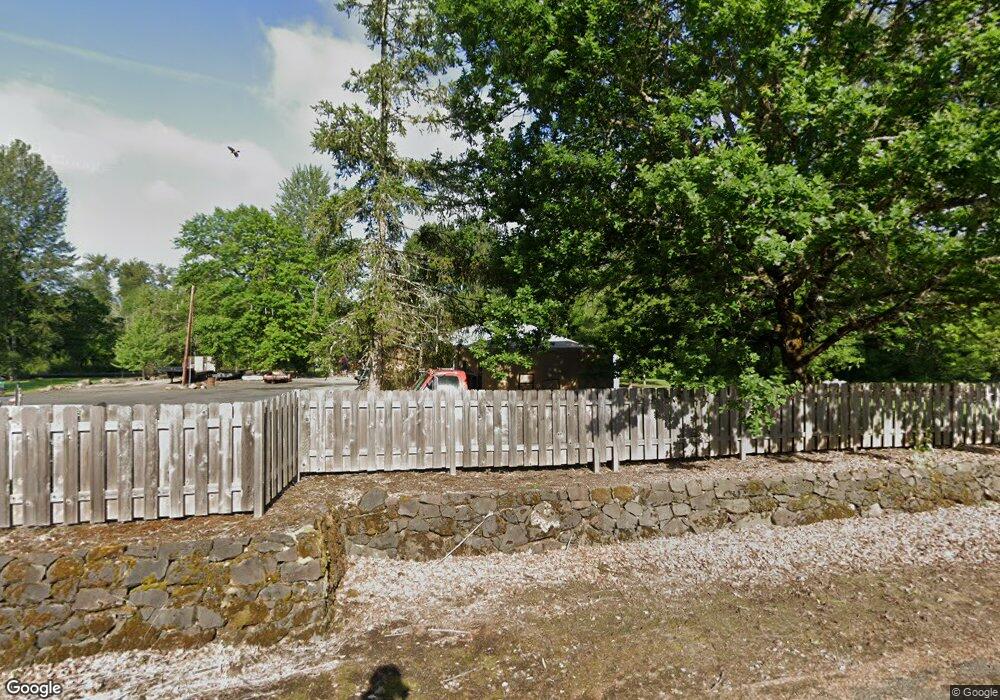
7832 SE Telford Rd Gresham, OR 97080
Sandy River NeighborhoodEstimated Value: $520,627 - $540,000
2
Beds
1
Bath
1,448
Sq Ft
$366/Sq Ft
Est. Value
About This Home
This home is located at 7832 SE Telford Rd, Gresham, OR 97080 and is currently estimated at $530,314, approximately $366 per square foot. 7832 SE Telford Rd is a home located in Multnomah County with nearby schools including Hogan Cedars Elementary School, West Orient Middle School, and Sam Barlow High School.
Ownership History
Date
Name
Owned For
Owner Type
Purchase Details
Closed on
Jul 31, 2002
Sold by
Stanley William J
Bought by
Stanley Jennifer L
Current Estimated Value
Purchase Details
Closed on
Jul 19, 1995
Sold by
Kuykendall Arlene W
Bought by
Stanley William J
Home Financials for this Owner
Home Financials are based on the most recent Mortgage that was taken out on this home.
Original Mortgage
$76,000
Interest Rate
7.59%
Create a Home Valuation Report for This Property
The Home Valuation Report is an in-depth analysis detailing your home's value as well as a comparison with similar homes in the area
Home Values in the Area
Average Home Value in this Area
Purchase History
| Date | Buyer | Sale Price | Title Company |
|---|---|---|---|
| Stanley Jennifer L | $150,000 | Chicago Title | |
| Stanley William J | $95,000 | First American Title Ins Co |
Source: Public Records
Mortgage History
| Date | Status | Borrower | Loan Amount |
|---|---|---|---|
| Closed | Stanley William J | $76,000 |
Source: Public Records
Tax History Compared to Growth
Tax History
| Year | Tax Paid | Tax Assessment Tax Assessment Total Assessment is a certain percentage of the fair market value that is determined by local assessors to be the total taxable value of land and additions on the property. | Land | Improvement |
|---|---|---|---|---|
| 2025 | $4,636 | $254,200 | -- | -- |
| 2024 | $4,431 | $246,800 | -- | -- |
| 2023 | $4,329 | $239,620 | $0 | $0 |
| 2022 | $4,209 | $232,650 | $0 | $0 |
| 2021 | $4,103 | $225,880 | $0 | $0 |
| 2020 | $3,856 | $219,310 | $0 | $0 |
| 2019 | $3,756 | $212,930 | $0 | $0 |
| 2018 | $3,578 | $206,730 | $0 | $0 |
| 2017 | $3,431 | $200,710 | $0 | $0 |
| 2016 | $3,012 | $194,870 | $0 | $0 |
| 2015 | $2,948 | $189,200 | $0 | $0 |
| 2014 | $2,876 | $183,690 | $0 | $0 |
Source: Public Records
Map
Nearby Homes
- 3236 SE 36th St
- 7102 SE 267th Ave
- 3499 SE Paropa Ave
- 3279 SE Anderson Rd
- 27238 SE Carl St
- 8105 SE 282nd Ave
- 2922 SE Hillyard Rd
- 2813 SE Baker Ave
- 2728 SE Acacia Place
- 2796 SE Baker Ave
- 9151 SE Hideaway Ct
- 2433 SE Barnes Rd
- 2653 SE Eagle Ave
- 4191 SE 22nd Dr
- 2098 SE Williams Dr
- 4627 SE 21st Terrace
- 5400 SE Chase Rd
- 2022 SE Williams Dr
- 5914 SE Welch Rd
- 2981 SE 21st St
- 7710 SE 262nd Ave
- 7820 SE 262nd Ave
- 7635 SE 262nd Ave
- 7620 SE 262nd Ave
- 7728 SE Telford Rd
- 7835 SE Telford Rd
- 7700 SE 262nd Ave
- 8114 SE Telford Rd
- 8040 SE 262nd Ave
- 8050 SE Telford Rd
- 8050 SE Telford Rd
- 7510 SE 262nd Ave
- 8025 SE Telford Rd
- 7449 SE 262nd Ave
- 7894 SE Kane Rd
- 7715 SE Telford Rd
- 8150 SE Telford Rd
- 25944 SE Callister Rd
- 7906 SE 257th Ave
- 7906 SE Kane Rd
