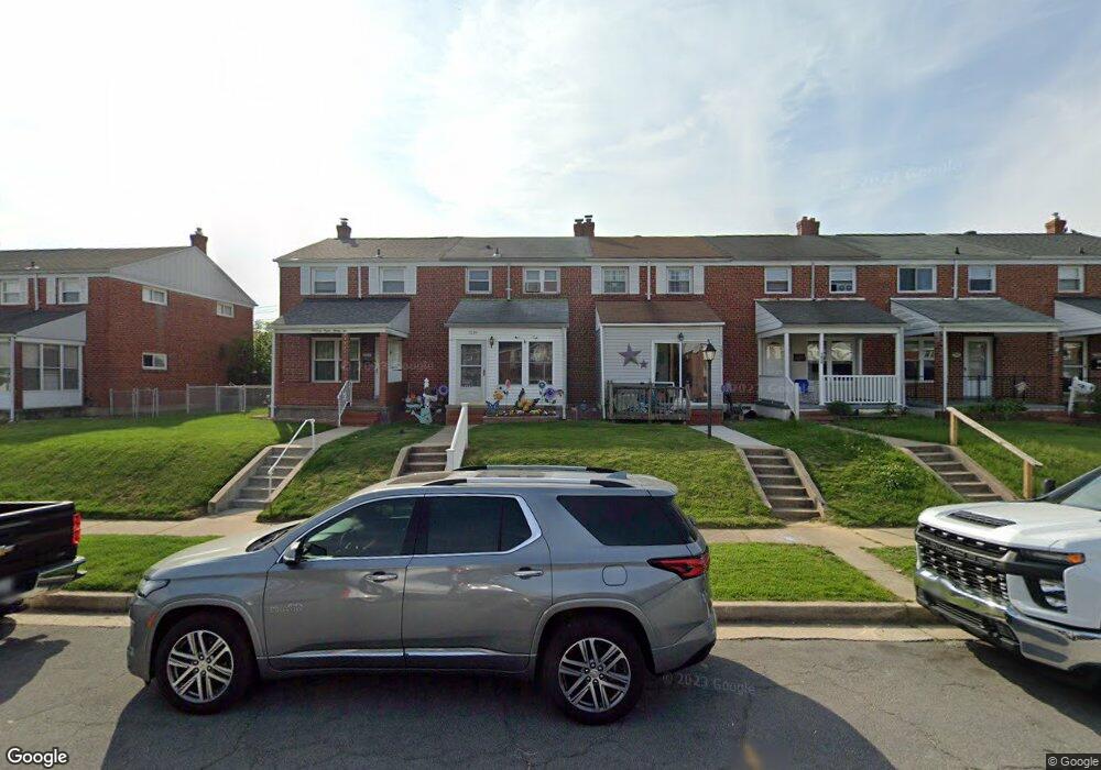
7834 Charlesmont Rd Dundalk, MD 21222
Estimated Value: $158,000 - $205,000
Studio
1
Bath
1,008
Sq Ft
$184/Sq Ft
Est. Value
About This Home
This home is located at 7834 Charlesmont Rd, Dundalk, MD 21222 and is currently estimated at $185,966, approximately $184 per square foot. 7834 Charlesmont Rd is a home located in Baltimore County with nearby schools including Charlesmont Elementary, General John Stricker Middle School, and Patapsco High & Center for Arts.
Ownership History
Date
Name
Owned For
Owner Type
Purchase Details
Closed on
Nov 17, 2023
Sold by
Wehner Lisa M
Bought by
Rufe Paul
Current Estimated Value
Home Financials for this Owner
Home Financials are based on the most recent Mortgage that was taken out on this home.
Original Mortgage
$110,000
Interest Rate
7.29%
Mortgage Type
Balloon
Purchase Details
Closed on
May 12, 2000
Sold by
Osborne Lisa M
Bought by
Malone George D
Purchase Details
Closed on
Oct 21, 1998
Sold by
Andrews Lisa M
Bought by
Osborne Lisa M and Malone George D
Create a Home Valuation Report for This Property
The Home Valuation Report is an in-depth analysis detailing your home's value as well as a comparison with similar homes in the area
Home Values in the Area
Average Home Value in this Area
Purchase History
| Date | Buyer | Sale Price | Title Company |
|---|---|---|---|
| Rufe Paul | $136,000 | Broadview Title | |
| Rufe Paul | $136,000 | Broadview Title | |
| Malone George D | -- | -- | |
| Osborne Lisa M | -- | -- |
Source: Public Records
Mortgage History
| Date | Status | Borrower | Loan Amount |
|---|---|---|---|
| Previous Owner | Rufe Paul | $110,000 |
Source: Public Records
Tax History
| Year | Tax Paid | Tax Assessment Tax Assessment Total Assessment is a certain percentage of the fair market value that is determined by local assessors to be the total taxable value of land and additions on the property. | Land | Improvement |
|---|---|---|---|---|
| 2025 | $2,533 | $154,533 | -- | -- |
| 2024 | $2,533 | $140,467 | -- | -- |
| 2023 | $1,216 | $126,400 | $38,000 | $88,400 |
| 2022 | $2,366 | $124,233 | $0 | $0 |
| 2021 | $2,142 | $122,067 | $0 | $0 |
| 2020 | $2,142 | $119,900 | $38,000 | $81,900 |
| 2019 | $2,068 | $117,967 | $0 | $0 |
| 2018 | $2,040 | $116,033 | $0 | $0 |
| 2017 | $1,904 | $114,100 | $0 | $0 |
| 2016 | $1,530 | $112,467 | $0 | $0 |
| 2015 | $1,530 | $110,833 | $0 | $0 |
| 2014 | $1,530 | $109,200 | $0 | $0 |
Source: Public Records
Map
Nearby Homes
- 7723 Charlesmont Rd
- 3427 N Point Rd
- 3317 Belsford Ct
- 7631 Old Battle Grove Rd
- 8146 Gray Haven Rd
- 8137 Mid Haven Rd
- 8142 Del Haven Rd
- 7715 Old Battle Grove Rd
- 7820 Saint Patricia Ln
- 200 Pinewood Rd
- 7813 Saint Patricia Ln
- 7431 Saint Patricia Ct
- 2724 N Point Terrace
- 8208 Dogwood Dr
- 2705 Delk Ct
- 1649 Gray Haven Ct
- 1742 Langport Ave
- 111 Briarwood Rd
- 1718 Pinewood Dr
- 1711 Woodland Dr
- 7836 Charlesmont Rd
- 7832 Charlesmont Rd
- 7838 Charlesmont Rd
- 7830 Charlesmont Rd
- 7840 Charlesmont Rd
- 7828 Charlesmont Rd
- 7842 Charlesmont Rd
- 7826 Charlesmont Rd
- 7844 Charlesmont Rd
- 7824 Charlesmont Rd
- 7815 Lockwood Rd
- 7813 Lockwood Rd
- 7817 Lockwood Rd
- 7819 Lockwood Rd
- 7846 Charlesmont Rd
- 7822 Charlesmont Rd
- 7821 Lockwood Rd
- 7811 Lockwood Rd
- 7823 Lockwood Rd
- 7848 Charlesmont Rd
Your Personal Tour Guide
Ask me questions while you tour the home.