784 New Hampton Rd Sanbornton, NH 03269
Sanbornton NeighborhoodEstimated Value: $751,000 - $820,808
3
Beds
3
Baths
3,160
Sq Ft
$249/Sq Ft
Est. Value
About This Home
This home is located at 784 New Hampton Rd, Sanbornton, NH 03269 and is currently estimated at $786,452, approximately $248 per square foot. 784 New Hampton Rd is a home with nearby schools including Southwick School, Winnisquam Regional Middle School, and Winnisquam Regional High School.
Ownership History
Date
Name
Owned For
Owner Type
Purchase Details
Closed on
Oct 28, 2003
Sold by
Lee David R
Bought by
Piscopo Justin S
Current Estimated Value
Home Financials for this Owner
Home Financials are based on the most recent Mortgage that was taken out on this home.
Original Mortgage
$41,600
Interest Rate
6.15%
Create a Home Valuation Report for This Property
The Home Valuation Report is an in-depth analysis detailing your home's value as well as a comparison with similar homes in the area
Home Values in the Area
Average Home Value in this Area
Purchase History
| Date | Buyer | Sale Price | Title Company |
|---|---|---|---|
| Piscopo Justin S | $52,000 | -- |
Source: Public Records
Mortgage History
| Date | Status | Borrower | Loan Amount |
|---|---|---|---|
| Open | Piscopo Justin S | $265,000 | |
| Closed | Piscopo Justin S | $25,000 | |
| Closed | Piscopo Justin S | $41,600 |
Source: Public Records
Tax History Compared to Growth
Tax History
| Year | Tax Paid | Tax Assessment Tax Assessment Total Assessment is a certain percentage of the fair market value that is determined by local assessors to be the total taxable value of land and additions on the property. | Land | Improvement |
|---|---|---|---|---|
| 2024 | $9,274 | $723,954 | $219,054 | $504,900 |
| 2023 | $8,716 | $723,955 | $219,055 | $504,900 |
| 2022 | $8,287 | $417,055 | $96,255 | $320,800 |
| 2021 | $7,279 | $396,050 | $96,250 | $299,800 |
| 2020 | $7,569 | $375,053 | $96,253 | $278,800 |
| 2019 | $7,209 | $375,053 | $96,253 | $278,800 |
| 2018 | $7,246 | $375,051 | $96,251 | $278,800 |
| 2017 | $7,286 | $308,322 | $54,422 | $253,900 |
| 2016 | $7,286 | $308,322 | $54,422 | $253,900 |
| 2015 | $7,403 | $308,322 | $54,422 | $253,900 |
| 2014 | $7,082 | $308,322 | $54,422 | $253,900 |
| 2013 | $7,082 | $308,327 | $54,427 | $253,900 |
Source: Public Records
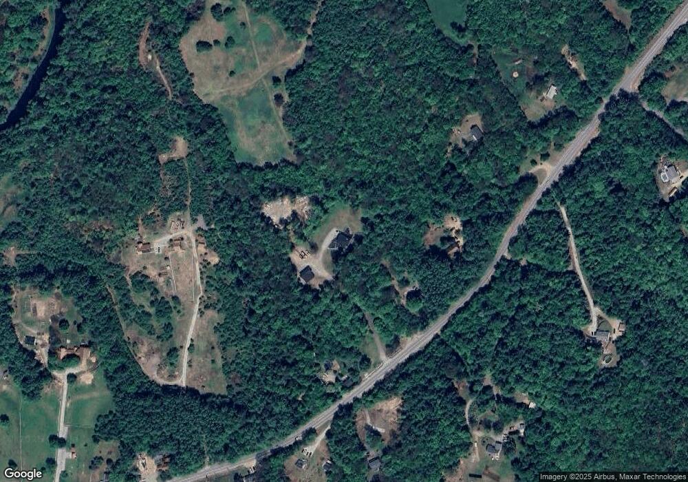
Map
Nearby Homes
- 0 Perley Hill Rd Unit 85
- 724 Sanborn Rd
- 0 Gulf Rd Unit 33 5061892
- 0 Mountain Rd Unit 5064513
- 693 Hill Rd
- 104 New Hampton Rd
- 314 Stage Rd
- 251 Hill Rd
- 21 Mountain View Dr
- 7 Simmons Ct
- 225 Kendall St
- 9 Hunt Ave
- 42 Woodrow Ave
- 208 Sanborn St
- Lot 4 Piper St
- 193 Kendall St
- 8 Smiling Hill Rd
- 100 Cram Rd
- 12 Foothills Way
- R02-13 Calef Hill Rd
- 788 New Hampton Rd
- 792 New Hampton Rd
- 818B New Hampton Rd
- 778 New Hampton Rd
- 818 New Hampton Rd
- 826 New Hampton Rd
- 781 New Hampton Rd
- 773 New Hampton Rd
- 754 New Hampton Rd
- 0 New Hampton Rd
- 763 New Hampton Rd
- 803 New Hampton Rd
- 828 New Hampton Rd
- 819 New Hampton Rd
- 758 New Hampton Rd
- 748 New Hampton Rd
- 728 New Hampton Rd
- 123 Willow Rd
- 97 Willow Rd
- 11 Burleigh Hill Rd