784 Pleasant Point Rd Cushing, ME 04563
Estimated Value: $512,799 - $1,694,000
4
Beds
4
Baths
4,871
Sq Ft
$213/Sq Ft
Est. Value
About This Home
This home is located at 784 Pleasant Point Rd, Cushing, ME 04563 and is currently estimated at $1,038,450, approximately $213 per square foot. 784 Pleasant Point Rd is a home located in Knox County with nearby schools including Cushing Community School and Oceanside High School East.
Ownership History
Date
Name
Owned For
Owner Type
Purchase Details
Closed on
Jul 11, 2005
Sold by
Medrano Renato and Medrano Ellen
Bought by
Zizza Steven A and Zizza Judith M
Current Estimated Value
Create a Home Valuation Report for This Property
The Home Valuation Report is an in-depth analysis detailing your home's value as well as a comparison with similar homes in the area
Home Values in the Area
Average Home Value in this Area
Purchase History
| Date | Buyer | Sale Price | Title Company |
|---|---|---|---|
| Zizza Steven A | -- | -- |
Source: Public Records
Tax History
| Year | Tax Paid | Tax Assessment Tax Assessment Total Assessment is a certain percentage of the fair market value that is determined by local assessors to be the total taxable value of land and additions on the property. | Land | Improvement |
|---|---|---|---|---|
| 2024 | $4,461 | $415,010 | $256,000 | $159,010 |
| 2023 | $4,604 | $287,760 | $210,510 | $77,250 |
| 2022 | $4,460 | $287,760 | $210,510 | $77,250 |
| 2021 | $4,489 | $287,760 | $210,510 | $77,250 |
| 2020 | $2,362 | $287,760 | $210,510 | $77,250 |
| 2019 | $3,285 | $287,760 | $210,510 | $77,250 |
| 2018 | $3,942 | $287,760 | $210,510 | $77,250 |
| 2017 | $3,618 | $287,760 | $210,510 | $77,250 |
| 2016 | $2,675 | $288,120 | $210,510 | $77,610 |
| 2015 | $3,544 | $288,120 | $210,510 | $77,610 |
| 2014 | $2,967 | $262,590 | $210,510 | $52,080 |
Source: Public Records
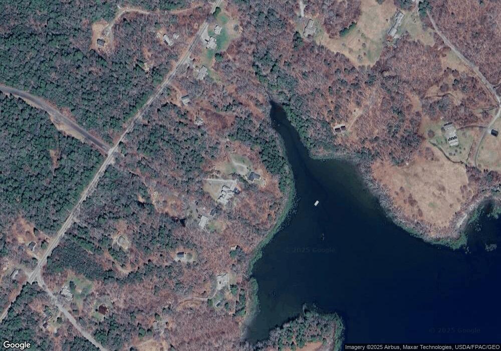
Map
Nearby Homes
- 28 Orne Ln
- 576 Pleasant Point Rd
- 250 Davis Point Rd
- 253 Hathorne Point Rd
- 43 Tamarack Ln
- 19 Tamarack Ln
- 56 Raccoon Ln
- 47 Teel Cove Rd
- 63 Raccoon Ln
- 18 Trunnel Ln
- 53 Shipyard Rd
- 5 Harbor Rd
- M214 L23C1 Autumn Marsh Rd
- M217 L074 Kallio Cove Rd
- 127 Harbor Rd
- 207 Pleasant Point Rd
- 111 Davis Point Loop
- 109 Waldoboro Rd
- M27, L 38 Hornbarn Hill Rd
- Lot 1 Waldoboro Rd
- 784 Pleasant Point Rd
- 772 Pleasant Point Rd
- 766 Pleasant Point Rd
- 773 Pleasant Point Rd
- 790 Pleasant Point Road Fr37
- 763 Pleasant Point Rd
- 760 Pleasant Point Rd
- 753 Pleasant Point Rd
- Lot 7 Hornbarn Hill Rd
- 796 Pleasant Point Rd
- 12 Hornbarn Hill Rd
- 11 Maple Juice Ln
- lot 78 Maple Juice Ln
- 26 Stones Point Rd
- 57 Maple Juice Ln
- 0 Stones Point Rd Unit 251403
- 0 Stones Point Rd Unit 174039
- 0 Stones Point Rd Unit 257419
- 0 Stones Point Rd Unit 347829
- 0 Stone Point Unit 935021
Your Personal Tour Guide
Ask me questions while you tour the home.