7841 E 72nd St S Reasnor, IA 50232
Estimated Value: $347,000 - $363,440
3
Beds
2
Baths
1,242
Sq Ft
$284/Sq Ft
Est. Value
About This Home
This home is located at 7841 E 72nd St S, Reasnor, IA 50232 and is currently estimated at $352,480, approximately $283 per square foot. 7841 E 72nd St S is a home located in Jasper County with nearby schools including Lynnville-Sully Elementary School, Lynnville-Sully Middle School, and Lynnville-Sully High School.
Ownership History
Date
Name
Owned For
Owner Type
Purchase Details
Closed on
Oct 22, 2022
Sold by
Keep Hannah M and Keep Jeffrey
Bought by
Klein Family Farm Llc
Current Estimated Value
Purchase Details
Closed on
Jun 13, 2022
Sold by
Peckous Stephen W and Peckous Jamie
Bought by
Klein Family Farm Llc
Purchase Details
Closed on
Nov 18, 2019
Sold by
Guild Mortgage Co
Bought by
Usa Va
Create a Home Valuation Report for This Property
The Home Valuation Report is an in-depth analysis detailing your home's value as well as a comparison with similar homes in the area
Home Values in the Area
Average Home Value in this Area
Purchase History
| Date | Buyer | Sale Price | Title Company |
|---|---|---|---|
| Klein Family Farm Llc | -- | -- | |
| Klein Family Farm Llc | -- | None Listed On Document | |
| Usa Va | $136,500 | None Available |
Source: Public Records
Tax History Compared to Growth
Tax History
| Year | Tax Paid | Tax Assessment Tax Assessment Total Assessment is a certain percentage of the fair market value that is determined by local assessors to be the total taxable value of land and additions on the property. | Land | Improvement |
|---|---|---|---|---|
| 2025 | $2,424 | $247,000 | $4,770 | $242,230 |
| 2024 | $2,424 | $230,100 | $3,690 | $226,410 |
| 2023 | $2,422 | $230,100 | $3,690 | $226,410 |
| 2022 | $1,988 | $168,540 | $2,720 | $165,820 |
| 2021 | $1,902 | $155,390 | $2,720 | $152,670 |
| 2020 | $1,902 | $142,290 | $2,760 | $139,530 |
| 2019 | $1,746 | $126,710 | $0 | $0 |
| 2018 | $1,746 | $126,710 | $0 | $0 |
| 2017 | $1,792 | $131,410 | $0 | $0 |
| 2016 | $1,792 | $131,410 | $0 | $0 |
| 2015 | $1,766 | $137,450 | $0 | $0 |
| 2014 | $1,770 | $137,450 | $0 | $0 |
Source: Public Records
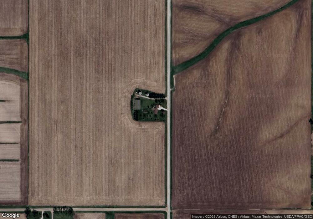
Map
Nearby Homes
- 5760 S 80th Ave E
- 5211 S 70th Ave E
- 6657 E 78th St S
- 7404 Sioux Ave
- 424 Newton St
- 7233 Highway T 22 S
- 5122 E 84th St S
- 4683 Legion St Unit ST80
- 1397 S 52nd Ave E
- 11790 Highway F62 E
- 11377 S 100th Ave E
- 205 N 8th Ave
- 202 8th Ave
- 805 5th St
- 1006 2nd St
- 944 Meadow Brook Ave
- 702 10th Ave
- 709 E 27th St S
- 707 E 27th St S
- 1305 S 13th Ave E