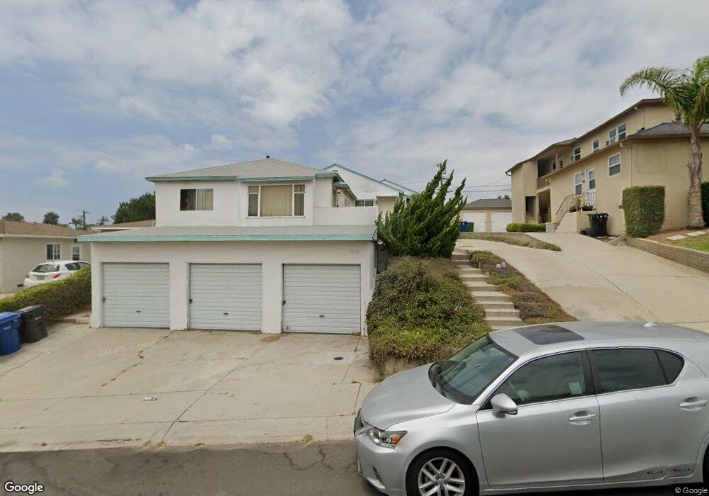
7845 Flight Ave Los Angeles, CA 90045
Westchester NeighborhoodEstimated Value: $1,011,000 - $2,509,000
3
Beds
3
Baths
1,670
Sq Ft
$979/Sq Ft
Est. Value
About This Home
This home is located at 7845 Flight Ave, Los Angeles, CA 90045 and is currently estimated at $1,634,667, approximately $978 per square foot. 7845 Flight Ave is a home located in Los Angeles County with nearby schools including Westport Heights Elementary, Wright Middle School STEAM Magnet, and Westchester Enriched Sciences Magnets.
Ownership History
Date
Name
Owned For
Owner Type
Purchase Details
Closed on
Mar 10, 2015
Sold by
Dittus Barry Christopher
Bought by
Dittus Barry Christopher
Current Estimated Value
Purchase Details
Closed on
Mar 4, 2015
Sold by
Dittus Barry Christopher
Bought by
Dittus Barry Christopher
Create a Home Valuation Report for This Property
The Home Valuation Report is an in-depth analysis detailing your home's value as well as a comparison with similar homes in the area
Home Values in the Area
Average Home Value in this Area
Purchase History
| Date | Buyer | Sale Price | Title Company |
|---|---|---|---|
| Dittus Barry Christopher | -- | None Available | |
| Dittus Barry Christopher | -- | None Available |
Source: Public Records
Tax History Compared to Growth
Tax History
| Year | Tax Paid | Tax Assessment Tax Assessment Total Assessment is a certain percentage of the fair market value that is determined by local assessors to be the total taxable value of land and additions on the property. | Land | Improvement |
|---|---|---|---|---|
| 2025 | $1,766 | $116,383 | $74,007 | $42,376 |
| 2024 | $1,766 | $114,102 | $72,556 | $41,546 |
| 2023 | $1,743 | $111,866 | $71,134 | $40,732 |
| 2022 | $1,678 | $109,674 | $69,740 | $39,934 |
| 2021 | $1,648 | $107,524 | $68,373 | $39,151 |
| 2019 | $1,608 | $104,337 | $66,346 | $37,991 |
| 2018 | $1,463 | $102,293 | $65,046 | $37,247 |
| 2017 | $1,437 | $100,288 | $63,771 | $36,517 |
| 2016 | $1,387 | $98,322 | $62,521 | $35,801 |
| 2015 | $1,370 | $96,846 | $61,582 | $35,264 |
| 2014 | $1,398 | $94,950 | $60,376 | $34,574 |
Source: Public Records
Map
Nearby Homes
- 7803 Flight Ave
- 7840 Boeing Ave
- 5858 Abernathy Dr
- 8312 Barnsley Ave
- 8313 Kittyhawk Ave
- 5600 W 78th St
- 8332 Barnsley Ave
- 5966 Abernathy Dr
- 8130 Grimsby Ave
- 7832 Bleriot Ave
- 8418 Belford Ave
- 5723 W 74th St
- 7842 Croydon Ave
- 5988 W 76th St
- 7701 Toland Ave
- 8512 Belford Ave
- 6040 W 76th St
- 5845 W 74th St
- 6027 W 76th St
- 5529 W 79th St
- 7847 Flight Ave
- 7841 Flight Ave
- 7849 Flight Ave
- 7837 Flight Ave
- 7851 1/2 Flight Ave Unit 7815.5
- 7853 Flight Ave
- 5824 W 78th Place
- 7835 Flight Ave
- 7848 Flight Ave
- 5830 W 78th Place
- 7854 Flight Ave
- 5818 W 78th Place
- 7852 Flight Ave
- 7866 Flight Ave Unit 7866
- 5836 W 78th Place
- 7857 Flight Ave
- 5810 W 78th Place
- 7836 Flight Ave
- 7836 Flight Ave Unit 208
- 7836 Flight Ave Unit 207