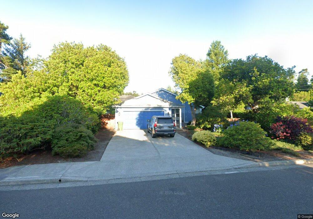
785 Ivy St Florence, OR 97439
Estimated Value: $370,686 - $446,000
3
Beds
2
Baths
1,374
Sq Ft
$304/Sq Ft
Est. Value
About This Home
This home is located at 785 Ivy St, Florence, OR 97439 and is currently estimated at $417,172, approximately $303 per square foot. 785 Ivy St is a home located in Lane County with nearby schools including Siuslaw Elementary School, Siuslaw Middle School, and Siuslaw High School.
Ownership History
Date
Name
Owned For
Owner Type
Purchase Details
Closed on
Aug 11, 2017
Sold by
Riffenburgh Stephen and Riffenburgh Anne L
Bought by
Riffenburgh Stephen K and Riffenburch Anne L
Current Estimated Value
Purchase Details
Closed on
Oct 6, 2014
Sold by
Buchanan Greg
Bought by
Riffenburgh Stephen and Riffenburgh Anne L
Purchase Details
Closed on
Jan 13, 2010
Sold by
Larimore Virginia C and Slayter Virginia C
Bought by
Buchanan Greg
Home Financials for this Owner
Home Financials are based on the most recent Mortgage that was taken out on this home.
Original Mortgage
$115,600
Interest Rate
4.68%
Mortgage Type
New Conventional
Create a Home Valuation Report for This Property
The Home Valuation Report is an in-depth analysis detailing your home's value as well as a comparison with similar homes in the area
Home Values in the Area
Average Home Value in this Area
Purchase History
| Date | Buyer | Sale Price | Title Company |
|---|---|---|---|
| Riffenburgh Stephen K | -- | None Available | |
| Riffenburgh Stephen | $199,000 | First American Title | |
| Buchanan Greg | $144,500 | First American Title |
Source: Public Records
Mortgage History
| Date | Status | Borrower | Loan Amount |
|---|---|---|---|
| Previous Owner | Buchanan Greg | $115,600 |
Source: Public Records
Tax History Compared to Growth
Tax History
| Year | Tax Paid | Tax Assessment Tax Assessment Total Assessment is a certain percentage of the fair market value that is determined by local assessors to be the total taxable value of land and additions on the property. | Land | Improvement |
|---|---|---|---|---|
| 2025 | $2,566 | $188,060 | -- | -- |
| 2024 | $2,492 | $182,583 | -- | -- |
| 2023 | $2,492 | $177,266 | $0 | $0 |
| 2022 | $2,325 | $172,103 | $0 | $0 |
| 2021 | $2,277 | $167,091 | $0 | $0 |
| 2020 | $2,217 | $162,225 | $0 | $0 |
| 2019 | $2,134 | $157,500 | $0 | $0 |
| 2018 | $2,139 | $148,459 | $0 | $0 |
| 2017 | $2,062 | $148,459 | $0 | $0 |
| 2016 | $2,004 | $144,135 | $0 | $0 |
| 2015 | $1,961 | $139,937 | $0 | $0 |
| 2014 | $1,940 | $135,861 | $0 | $0 |
Source: Public Records
Map
Nearby Homes
- 1036 9th St
- 920 Hemlock St
- 679 Kingwood St
- 1260 10th St Unit 23
- 1260 10th St Unit 11
- 1150 Hemlock St Unit C11
- 1150 Hemlock St Unit D14
- 0 Maple St Unit 24040688
- 0 Maple St Unit 7600 24079224
- 108 Park Village Loop
- 0 Hemlock St Unit 23650308
- 1495 8th St
- 1695947 4th St
- 1080 Bay St Unit 19
- 179 Laurel St Unit 9
- 100 Rhododendron Dr
- 289 Harbor St
- 125 W 11th St
- 211 Harbor St Unit 22
- 1633 Maple St