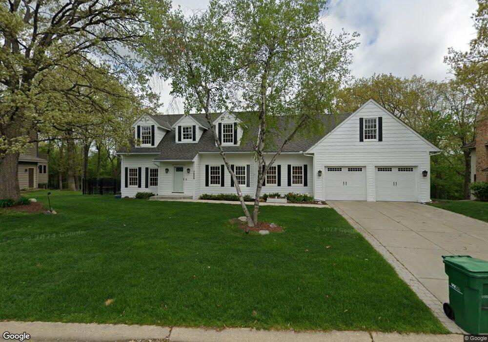
7855 133rd St W Saint Paul, MN 55124
Alimagnet NeighborhoodEstimated Value: $512,820 - $586,000
3
Beds
4
Baths
2,040
Sq Ft
$274/Sq Ft
Est. Value
About This Home
This home is located at 7855 133rd St W, Saint Paul, MN 55124 and is currently estimated at $558,705, approximately $273 per square foot. 7855 133rd St W is a home located in Dakota County with nearby schools including Westview Elementary School, Falcon Ridge Middle School, and Apple Valley Senior High School.
Ownership History
Date
Name
Owned For
Owner Type
Purchase Details
Closed on
Nov 1, 2019
Sold by
Killion Dennis Gregory
Bought by
Westereng Michael Randall and Westereng Melissa Ann
Current Estimated Value
Home Financials for this Owner
Home Financials are based on the most recent Mortgage that was taken out on this home.
Original Mortgage
$340,800
Interest Rate
3.7%
Mortgage Type
New Conventional
Purchase Details
Closed on
Jun 29, 2006
Sold by
Sirva Relocation Llc
Bought by
Killion Dennis and Killion Constance
Purchase Details
Closed on
Jun 26, 2003
Sold by
Dickey Mary E
Bought by
Roucke Shane J and Roucke Nicole
Create a Home Valuation Report for This Property
The Home Valuation Report is an in-depth analysis detailing your home's value as well as a comparison with similar homes in the area
Home Values in the Area
Average Home Value in this Area
Purchase History
| Date | Buyer | Sale Price | Title Company |
|---|---|---|---|
| Westereng Michael Randall | $426,000 | Land Title Inc | |
| Killion Dennis | $420,000 | -- | |
| Sirva Relocation Llc | $420,000 | -- | |
| Roucke Shane J | $325,000 | -- |
Source: Public Records
Mortgage History
| Date | Status | Borrower | Loan Amount |
|---|---|---|---|
| Previous Owner | Westereng Michael Randall | $340,800 |
Source: Public Records
Tax History Compared to Growth
Tax History
| Year | Tax Paid | Tax Assessment Tax Assessment Total Assessment is a certain percentage of the fair market value that is determined by local assessors to be the total taxable value of land and additions on the property. | Land | Improvement |
|---|---|---|---|---|
| 2024 | $5,462 | $463,800 | $154,200 | $309,600 |
| 2023 | $5,462 | $481,400 | $154,500 | $326,900 |
| 2022 | $4,674 | $471,200 | $154,000 | $317,200 |
| 2021 | $4,206 | $402,200 | $134,000 | $268,200 |
| 2020 | $4,344 | $356,800 | $127,200 | $229,600 |
| 2019 | $4,135 | $357,300 | $121,100 | $236,200 |
| 2018 | $3,946 | $355,300 | $115,300 | $240,000 |
| 2017 | $3,967 | $326,300 | $109,800 | $216,500 |
| 2016 | $3,980 | $312,100 | $104,600 | $207,500 |
| 2015 | $3,711 | $300,224 | $99,493 | $200,731 |
| 2014 | -- | $281,585 | $95,113 | $186,472 |
| 2013 | -- | $253,790 | $86,878 | $166,912 |
Source: Public Records
Map
Nearby Homes
- 13420 Gull Ct
- 13199 Gemstone Ct
- 12867 Pennock Ave
- 13413 Georgia Cir
- 13715 Grafton Ct
- 13101 Heritage Way
- 7577 138th St W
- 110 Pony Ln E
- 13868 Glendale Ct
- 13720 Georgia Dr
- 13345 Huntington Cir
- 7291 Upper 136th St W
- 13780 Hanover Way
- 14010 140th Ct
- 13902 Herald Way
- 13306 Huntington Cir
- 13910 Herald Ct
- 14080 Guthrie Ave
- 7342 Upper 139th St W
- 7090 Gardenia Ct
- 7835 133rd St W
- 7875 133rd St W
- 7815 133rd St W
- 7840 133rd St W
- 7885 133rd St W
- 7860 133rd St W
- 7880 133rd St W
- 7820 133rd St W
- 7805 133rd St W
- 7905 133rd St W
- 7800 133rd St W
- 7800 7800 133rd-Street-w
- 7900 133rd St W
- 7785 133rd St W
- 7925 133rd St W
- 7780 7780 133rd-Street-w
- 13215 Pennock Ave
- 13215 Rennock Ave
- 7765 133rd St W
- 13215 Hannover Ave