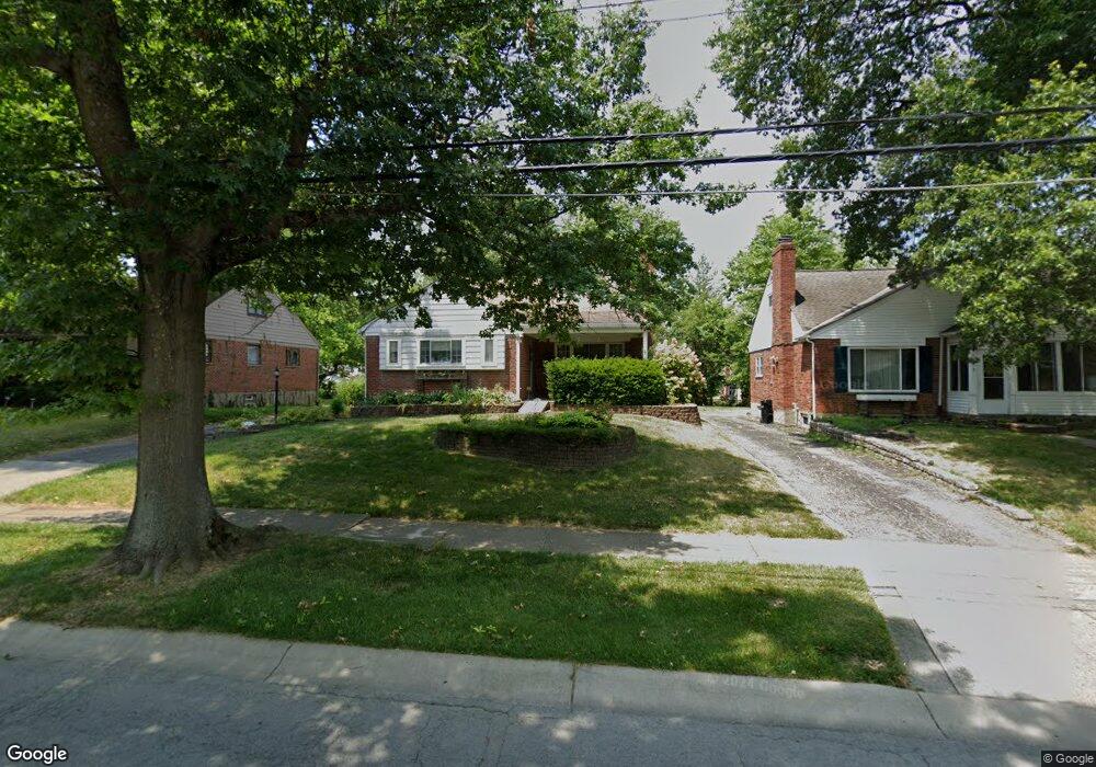
7855 Bobolink Dr Cincinnati, OH 45224
College Hill NeighborhoodEstimated Value: $240,575 - $330,000
4
Beds
1
Bath
2,065
Sq Ft
$137/Sq Ft
Est. Value
About This Home
This home is located at 7855 Bobolink Dr, Cincinnati, OH 45224 and is currently estimated at $282,894, approximately $136 per square foot. 7855 Bobolink Dr is a home located in Hamilton County with nearby schools including Pleasant Hill Elementary School, Robert A. Taft Information Technology High School, and Western Hills High School.
Ownership History
Date
Name
Owned For
Owner Type
Purchase Details
Closed on
Nov 28, 2012
Sold by
Blank Richard J and Blank Marcia L
Bought by
Blank Richard J and Blank Marcia L
Current Estimated Value
Create a Home Valuation Report for This Property
The Home Valuation Report is an in-depth analysis detailing your home's value as well as a comparison with similar homes in the area
Home Values in the Area
Average Home Value in this Area
Purchase History
| Date | Buyer | Sale Price | Title Company |
|---|---|---|---|
| Blank Richard J | -- | Attorney |
Source: Public Records
Tax History
| Year | Tax Paid | Tax Assessment Tax Assessment Total Assessment is a certain percentage of the fair market value that is determined by local assessors to be the total taxable value of land and additions on the property. | Land | Improvement |
|---|---|---|---|---|
| 2025 | $3,681 | $69,808 | $11,526 | $58,282 |
| 2024 | $3,573 | $69,808 | $11,526 | $58,282 |
| 2023 | $3,705 | $69,808 | $11,526 | $58,282 |
| 2022 | $2,152 | $40,279 | $9,384 | $30,895 |
| 2021 | $2,055 | $40,279 | $9,384 | $30,895 |
| 2020 | $2,131 | $40,279 | $9,384 | $30,895 |
| 2019 | $1,962 | $35,333 | $8,232 | $27,101 |
| 2018 | $1,965 | $35,333 | $8,232 | $27,101 |
| 2017 | $1,859 | $35,333 | $8,232 | $27,101 |
| 2016 | $2,399 | $42,669 | $8,782 | $33,887 |
| 2015 | $2,171 | $42,669 | $8,782 | $33,887 |
| 2014 | $2,187 | $42,669 | $8,782 | $33,887 |
| 2013 | $2,311 | $43,989 | $9,055 | $34,934 |
Source: Public Records
Map
Nearby Homes
- 7873 Bobolink Dr
- 7923 Bobolink Dr
- 1280 Brushwood Ave
- 7929 Cherrywood Ct
- 6765 Richard Ave
- 6538 S Oak Knoll Dr
- 1148 Hollywood Ave
- 7909 Burgundy Ln
- 8311 Daly Rd
- 1202 Ashmore Ct
- 1533 Corcoran Place
- 6531 Hamilton Ave
- 1025 Eastgate Dr
- 6629 Charann Ln
- 1476 Foxwood Dr
- 1556 Reid Ave
- 8609 Balboa Dr
- 1285 Landis Ln
- 1565 Reid Ave
- 6728 Sandalwood Ln
- 7849 Bobolink Dr
- 7859 Bobolink Dr
- 7863 Bobolink Dr
- 7844 Bankwood Ln
- 7848 Bankwood Ln
- 7840 Bankwood Ln
- 7852 Bankwood Ln
- 7845 Bobolink Dr
- 7856 Bankwood Ln
- 7867 Bobolink Dr
- 7854 Bobolink Dr
- 7846 Bobolink Dr
- 7858 Bobolink Dr
- 7860 Bankwood Ln
- 7841 Bobolink Dr
- 7838 Bankwood Ln
- 7864 Bobolink Dr
- 7864 Bankwood Ln
- 7842 Bobolink Dr
- 7868 Bobolink Dr
Your Personal Tour Guide
Ask me questions while you tour the home.
