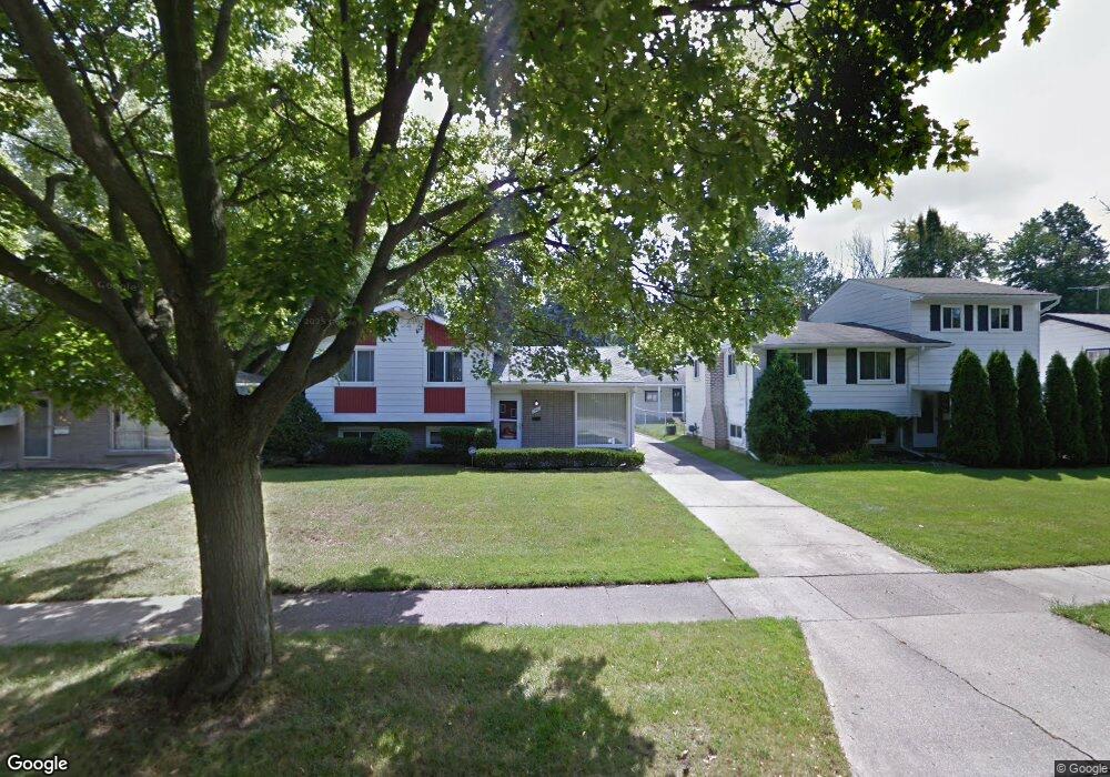
786 2nd Ave Pontiac, MI 48340
Estimated Value: $187,000 - $262,000
4
Beds
3
Baths
1,319
Sq Ft
$162/Sq Ft
Est. Value
About This Home
This home is located at 786 2nd Ave, Pontiac, MI 48340 and is currently estimated at $213,127, approximately $161 per square foot. 786 2nd Ave is a home located in Oakland County with nearby schools including Rogers Elementary, Pontiac Middle School, and Pontiac High School.
Ownership History
Date
Name
Owned For
Owner Type
Purchase Details
Closed on
May 19, 2025
Sold by
Nobles Virginia M
Bought by
Nobles Virginia M and Myers Datanyen P
Current Estimated Value
Purchase Details
Closed on
Jun 10, 2022
Sold by
Mollette Jr Beryle D and Mollette Vikki M
Bought by
Nobles Virginia
Purchase Details
Closed on
Sep 14, 1999
Sold by
Mollette Beryle D
Bought by
Nobles Virginia
Purchase Details
Closed on
Aug 8, 1995
Sold by
Mollette Beryle D and Mollette Lucille L
Bought by
Molltte Beryle D and Mollette Vikki M
Create a Home Valuation Report for This Property
The Home Valuation Report is an in-depth analysis detailing your home's value as well as a comparison with similar homes in the area
Home Values in the Area
Average Home Value in this Area
Purchase History
| Date | Buyer | Sale Price | Title Company |
|---|---|---|---|
| Nobles Virginia M | -- | None Listed On Document | |
| Nobles Virginia M | -- | None Listed On Document | |
| Nobles Virginia | $170,000 | Partners Title | |
| Nobles Virginia | $140,000 | -- | |
| Molltte Beryle D | $70,000 | New Title Company Name |
Source: Public Records
Tax History Compared to Growth
Tax History
| Year | Tax Paid | Tax Assessment Tax Assessment Total Assessment is a certain percentage of the fair market value that is determined by local assessors to be the total taxable value of land and additions on the property. | Land | Improvement |
|---|---|---|---|---|
| 2024 | $1,170 | $59,040 | $0 | $0 |
| 2023 | $3,096 | $52,700 | $0 | $0 |
| 2022 | $1,140 | $46,490 | $0 | $0 |
| 2021 | $1,106 | $41,180 | $0 | $0 |
| 2020 | $1,014 | $37,300 | $0 | $0 |
| 2019 | $1,069 | $32,490 | $0 | $0 |
| 2018 | $1,029 | $28,290 | $0 | $0 |
| 2017 | $988 | $27,320 | $0 | $0 |
| 2016 | $1,012 | $24,100 | $0 | $0 |
| 2015 | -- | $20,780 | $0 | $0 |
| 2014 | -- | $17,990 | $0 | $0 |
| 2011 | -- | $27,310 | $0 | $0 |
Source: Public Records
Map
Nearby Homes
- 731 1st Ave
- 778 4th Ave
- 720 E Columbia Ave
- 686 4th Ave
- 675 E Beverly Ave
- 794 Clara Ave
- 683 Clara Ave
- 686 Peacock Ave
- 614 E Tennyson Ave
- 630 E Madison Ave
- 1218 Galloway Cir
- 1336 Ridgeway Blvd
- 973 Kettering Ave
- 627 Wesbrook St
- 1340 Hawkcrest Ln Unit 119
- 1328 Ridgeway Blvd Unit 32
- 663 Lenox Ave
- 821 Robinwood St
- 1302 Galloway Cir Unit 64
- 620 Wesbrook St