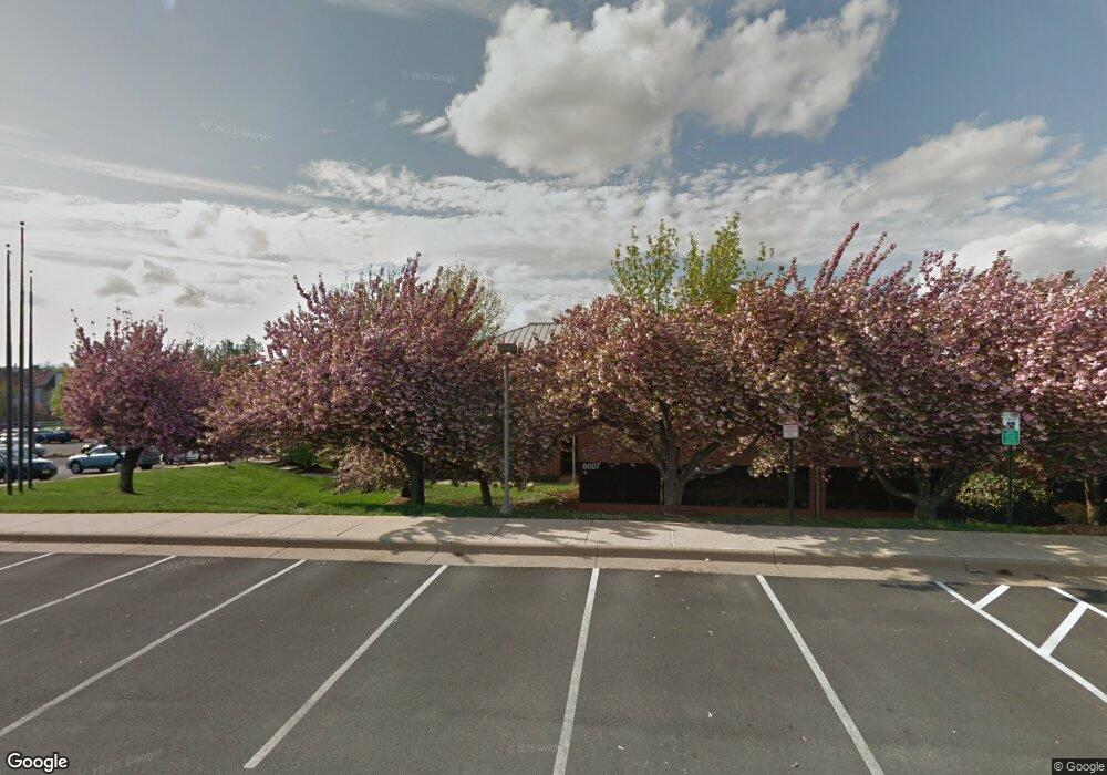
7869 Ashton Ave Manassas, VA 20109
Estimated Value: $22,664,390
--
Bed
--
Bath
71,788
Sq Ft
$316/Sq Ft
Est. Value
About This Home
This home is located at 7869 Ashton Ave, Manassas, VA 20109 and is currently estimated at $22,664,390, approximately $315 per square foot. 7869 Ashton Ave is a home located in Prince William County with nearby schools including Suella G. Ellis Elementary School, Unity Braxton Middle School, and Unity Reed High School.
Ownership History
Date
Name
Owned For
Owner Type
Purchase Details
Closed on
Jan 3, 2017
Sold by
Pwh Llc A Delaware Limited Liability Com
Bought by
Gpt Properties Trust A Maryland Real Est
Current Estimated Value
Purchase Details
Closed on
Feb 3, 2011
Sold by
Building D Sudley North Llc
Bought by
Pwh I Llc
Purchase Details
Closed on
Mar 20, 2002
Sold by
Paradise/Sudley No Bldg D
Bought by
Building D Sudley North L L C
Create a Home Valuation Report for This Property
The Home Valuation Report is an in-depth analysis detailing your home's value as well as a comparison with similar homes in the area
Home Values in the Area
Average Home Value in this Area
Purchase History
| Date | Buyer | Sale Price | Title Company |
|---|---|---|---|
| Gpt Properties Trust A Maryland Real Est | $13,200,000 | None Available | |
| Pwh I Llc | $13,050,000 | Multiple | |
| Building D Sudley North L L C | $5,693,300 | -- |
Source: Public Records
Tax History Compared to Growth
Tax History
| Year | Tax Paid | Tax Assessment Tax Assessment Total Assessment is a certain percentage of the fair market value that is determined by local assessors to be the total taxable value of land and additions on the property. | Land | Improvement |
|---|---|---|---|---|
| 2025 | $93,797 | $9,217,800 | $2,416,000 | $6,801,800 |
| 2024 | $93,797 | $9,431,600 | $2,416,000 | $7,015,600 |
| 2023 | $93,595 | $8,995,200 | $2,416,000 | $6,579,200 |
| 2022 | $95,504 | $8,623,400 | $2,416,000 | $6,207,400 |
| 2021 | $109,559 | $8,411,600 | $2,183,700 | $6,227,900 |
| 2020 | $130,667 | $8,430,100 | $2,183,700 | $6,246,400 |
| 2019 | $130,836 | $8,441,000 | $1,997,800 | $6,443,200 |
| 2018 | $101,975 | $8,445,100 | $1,951,400 | $6,493,700 |
| 2017 | $105,727 | $8,029,900 | $1,858,400 | $6,171,500 |
| 2016 | $101,863 | $7,785,200 | $2,211,500 | $5,573,700 |
| 2015 | $113,569 | $7,799,000 | $2,073,300 | $5,725,700 |
| 2014 | $113,569 | $8,583,100 | $2,073,300 | $6,509,800 |
Source: Public Records
Map
Nearby Homes
- 7849 Sabre Ct
- 7852 Blue Gray Cir
- 7945 Blue Gray Cir
- 10812 Caraway Cir
- 10646 Winfield Loop
- 10805 Violet Ct
- 11268 Stagestone Way
- 10875 Stone Hill Ln
- 11256 Stagestone Way Unit 137
- 7537 Purdue Ct Unit 18
- 10745 Coverstone Dr
- 10946 Mission Ridge Dr
- 7520 Clemson Ct
- 11054 Clovertree Ct
- 11184 Stagestone Way
- 11112 Stagestone Way
- 10980 Hiram Ct
- 11152 Stagestone Way Unit 94
- 11007 Hiram Ct
- 11099 Light Guard Loop
- 7699 Ashton Ave
- 7615 Monitor Ct
- 7617 Monitor Ct
- 7611 Monitor Ct
- 7609 Monitor Ct
- 7607 Monitor Ct
- 7623 Monitor Ct
- 7605 Monitor Ct
- 7848 Donegan Dr
- 7625 Monitor Ct
- 7603 Monitor Ct
- 7600 Monitor Ct
- 8051 Ashton Ave
- 7629 Monitor Ct
- 7960 Donegan Dr Unit 225
- 7801 Sabre Ct
- 7602 Monitor Ct
- 7631 Monitor Ct
- 7803 Sabre Ct
- 7805 Sabre Ct
