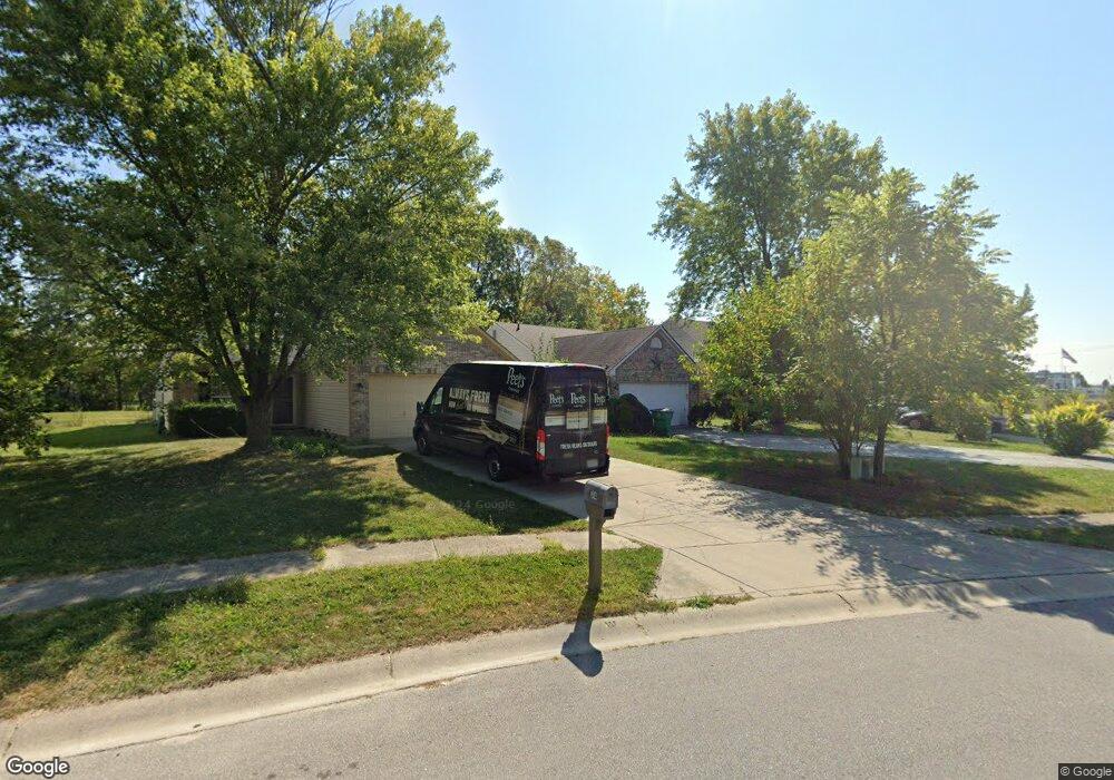
788 Kingston Cir Brownsburg, IN 46112
Estimated Value: $258,000 - $271,000
3
Beds
2
Baths
1,430
Sq Ft
$184/Sq Ft
Est. Value
About This Home
This home is located at 788 Kingston Cir, Brownsburg, IN 46112 and is currently estimated at $263,827, approximately $184 per square foot. 788 Kingston Cir is a home located in Hendricks County with nearby schools including Lincoln Elementary, Brownsburg East Middle School, and Brownsburg High School.
Ownership History
Date
Name
Owned For
Owner Type
Purchase Details
Closed on
Apr 16, 2024
Sold by
Hunt Douglas and Hunt Joann
Bought by
Hunt Douglas
Current Estimated Value
Purchase Details
Closed on
Nov 30, 2016
Sold by
Wyatt Enterprises Llc
Bought by
Hunt Douglas and Hunt Joann
Home Financials for this Owner
Home Financials are based on the most recent Mortgage that was taken out on this home.
Original Mortgage
$133,153
Interest Rate
3.47%
Mortgage Type
VA
Purchase Details
Closed on
Jun 9, 2011
Sold by
Collins Rick and Collins Shannon
Bought by
Wyatt Enterprises Llc
Purchase Details
Closed on
Jun 21, 2007
Sold by
Lasalle Bank National Assn
Bought by
Collins Rick and Collins Shannon
Purchase Details
Closed on
Mar 15, 2007
Sold by
Williams Chad H and Williams Aimee
Bought by
Lasalle Bank
Create a Home Valuation Report for This Property
The Home Valuation Report is an in-depth analysis detailing your home's value as well as a comparison with similar homes in the area
Home Values in the Area
Average Home Value in this Area
Purchase History
| Date | Buyer | Sale Price | Title Company |
|---|---|---|---|
| Hunt Douglas | -- | None Listed On Document | |
| Hunt Douglas | -- | -- | |
| Wyatt Enterprises Llc | -- | None Available | |
| Collins Rick | -- | None Available | |
| Lasalle Bank | -- | None Available |
Source: Public Records
Mortgage History
| Date | Status | Borrower | Loan Amount |
|---|---|---|---|
| Previous Owner | Hunt Douglas | $133,153 |
Source: Public Records
Tax History Compared to Growth
Tax History
| Year | Tax Paid | Tax Assessment Tax Assessment Total Assessment is a certain percentage of the fair market value that is determined by local assessors to be the total taxable value of land and additions on the property. | Land | Improvement |
|---|---|---|---|---|
| 2024 | $2,125 | $212,500 | $45,900 | $166,600 |
| 2023 | $1,952 | $195,200 | $43,700 | $151,500 |
| 2022 | $1,790 | $179,000 | $41,600 | $137,400 |
| 2021 | $1,541 | $154,100 | $37,800 | $116,300 |
| 2020 | $1,446 | $144,600 | $37,800 | $106,800 |
| 2019 | $1,316 | $131,600 | $34,000 | $97,600 |
| 2018 | $1,277 | $127,700 | $34,000 | $93,700 |
| 2017 | $1,206 | $120,600 | $34,000 | $86,600 |
| 2016 | $1,182 | $118,200 | $34,000 | $84,200 |
| 2014 | $2,278 | $113,900 | $31,200 | $82,700 |
Source: Public Records
Map
Nearby Homes
- 733 Chestnut Ln
- 1208 Brittany Cir Unit A
- 725 Hawthorne Ln
- 1202 Whittington Dr
- 1208 Whittington Dr
- Wexford Plan at Forest Hill
- 1113 River Ridge Dr
- 1415 Beaumont Cir
- 961 Pine Ridge Way
- 1268 Summer Ridge Ln
- 1280 Summer Ridge Ln
- 1284 Summer Ridge Ln
- 543 N Odell St
- 1505 Arbor Springs Dr
- 1327 Blue Ridge Ln
- 1303 Gable Lake Dr
- 35 Northridge Ct
- 821 Harvest Lake Dr
- 541 Eagle Crest Dr
- 609 Roberta Ct
- 784 Kingston Cir
- 754 Muirfield Dr
- 782 Kingston Cir
- 758 Muirfield Dr
- 781 Kingston Cir
- 774 Kingston Cir
- 777 Kingston Cir
- 8009 Margie Dr
- 745 Muirfield Dr
- 770 Kingston Cir
- 773 Kingston Cir
- 1193 Turnbury Ln
- 741 Muirfield Dr
- 769 Kingston Cir
- 766 Kingston Cir
- 1197 Turnbury Ln
- 737 Muirfield Dr
- 8037 Margie Dr
- 765 Kingston Cir
- 733 Muirfield Dr