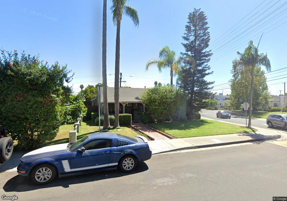
7888 Boeing Ave Los Angeles, CA 90045
Westchester NeighborhoodEstimated Value: $1,323,506 - $1,588,000
3
Beds
2
Baths
1,337
Sq Ft
$1,106/Sq Ft
Est. Value
About This Home
This home is located at 7888 Boeing Ave, Los Angeles, CA 90045 and is currently estimated at $1,478,627, approximately $1,105 per square foot. 7888 Boeing Ave is a home located in Los Angeles County with nearby schools including Westport Heights Elementary, Wright Middle School STEAM Magnet, and Westchester Enriched Sciences Magnets.
Ownership History
Date
Name
Owned For
Owner Type
Purchase Details
Closed on
Sep 9, 2025
Sold by
Doupe Deborah Kay
Bought by
Deborah Doupe Family Trust and Doupe
Current Estimated Value
Purchase Details
Closed on
Apr 23, 1997
Sold by
Kaplan Gerald L and Kaplan Sandra F
Bought by
Doupe Deborah K
Home Financials for this Owner
Home Financials are based on the most recent Mortgage that was taken out on this home.
Original Mortgage
$241,400
Interest Rate
7.91%
Create a Home Valuation Report for This Property
The Home Valuation Report is an in-depth analysis detailing your home's value as well as a comparison with similar homes in the area
Home Values in the Area
Average Home Value in this Area
Purchase History
| Date | Buyer | Sale Price | Title Company |
|---|---|---|---|
| Deborah Doupe Family Trust | -- | None Listed On Document | |
| Doupe Deborah K | $284,000 | First American Title Ins Co |
Source: Public Records
Mortgage History
| Date | Status | Borrower | Loan Amount |
|---|---|---|---|
| Previous Owner | Doupe Deborah K | $241,400 |
Source: Public Records
Tax History Compared to Growth
Tax History
| Year | Tax Paid | Tax Assessment Tax Assessment Total Assessment is a certain percentage of the fair market value that is determined by local assessors to be the total taxable value of land and additions on the property. | Land | Improvement |
|---|---|---|---|---|
| 2025 | $6,154 | $512,359 | $365,304 | $147,055 |
| 2024 | $6,154 | $502,314 | $358,142 | $144,172 |
| 2023 | $6,038 | $492,466 | $351,120 | $141,346 |
| 2022 | $5,760 | $482,811 | $344,236 | $138,575 |
| 2021 | $5,682 | $473,345 | $337,487 | $135,858 |
| 2019 | $5,511 | $459,307 | $327,478 | $131,829 |
| 2018 | $5,456 | $450,302 | $321,057 | $129,245 |
| 2016 | $5,209 | $432,818 | $308,591 | $124,227 |
| 2015 | $5,133 | $426,317 | $303,956 | $122,361 |
| 2014 | $5,156 | $417,967 | $298,002 | $119,965 |
Source: Public Records
Map
Nearby Homes
- 7840 Boeing Ave
- 8313 Kittyhawk Ave
- 8312 Barnsley Ave
- 8332 Barnsley Ave
- 7832 Bleriot Ave
- 7803 Flight Ave
- 7842 Croydon Ave
- 5858 Abernathy Dr
- 8512 Belford Ave
- 5966 Abernathy Dr
- 8130 Grimsby Ave
- 7817 Truxton Ave
- 6007 W 86th Place
- 5600 W 78th St
- 5988 W 76th St
- 8620 Belford Ave Unit 608
- 8620 Belford Ave Unit 604
- 6040 W 76th St
- 6027 W 76th St
- 8101 Naylor Ave
- 7884 Boeing Ave
- 7895 Flight Place
- 7893 Flight Place
- 7889 Flight Place
- 7880 Boeing Ave
- 5956 W 79th St
- 5970 W 79th St
- 7887 Flight Place
- 5976 W 79th St
- 5950 W 79th St
- 7874 Boeing Ave
- 5982 W 79th St
- 7883 Flight Place
- 7913 Flight Place
- 7888 Flight Place
- 5988 W 79th St
- 7900 Flight Place
- 7884 Flight Place
- 7870 Boeing Ave
- 7881 Flight Place