78B Fox Ridge Dr Dillon, MT 59725
Estimated Value: $369,739 - $510,000
3
Beds
2
Baths
1,181
Sq Ft
$354/Sq Ft
Est. Value
About This Home
This home is located at 78B Fox Ridge Dr, Dillon, MT 59725 and is currently estimated at $418,185, approximately $354 per square foot. 78B Fox Ridge Dr is a home located in Beaverhead County with nearby schools including Parkview School, Dillon Middle School, and Beaverhead Co High School.
Ownership History
Date
Name
Owned For
Owner Type
Purchase Details
Closed on
Aug 9, 2017
Sold by
Barnhart Gail Lynn Davis and Davis Steven Walter
Bought by
Pratt Raymond B and Goulden Sara T
Current Estimated Value
Home Financials for this Owner
Home Financials are based on the most recent Mortgage that was taken out on this home.
Original Mortgage
$207,200
Outstanding Balance
$172,705
Interest Rate
3.92%
Mortgage Type
Commercial
Estimated Equity
$245,480
Purchase Details
Closed on
Mar 18, 2008
Sold by
Toland Davis Shirley Bea
Bought by
Davis Steven Walter and Davis Kirk Edwin
Create a Home Valuation Report for This Property
The Home Valuation Report is an in-depth analysis detailing your home's value as well as a comparison with similar homes in the area
Home Values in the Area
Average Home Value in this Area
Purchase History
| Date | Buyer | Sale Price | Title Company |
|---|---|---|---|
| Pratt Raymond B | -- | First American Title Company | |
| Davis Steven Walter | -- | None Available |
Source: Public Records
Mortgage History
| Date | Status | Borrower | Loan Amount |
|---|---|---|---|
| Open | Pratt Raymond B | $207,200 |
Source: Public Records
Tax History Compared to Growth
Tax History
| Year | Tax Paid | Tax Assessment Tax Assessment Total Assessment is a certain percentage of the fair market value that is determined by local assessors to be the total taxable value of land and additions on the property. | Land | Improvement |
|---|---|---|---|---|
| 2025 | $1,548 | $361,400 | $0 | $0 |
| 2024 | $1,995 | $299,200 | $0 | $0 |
| 2023 | $2,009 | $299,200 | $0 | $0 |
| 2022 | $1,975 | $238,200 | $0 | $0 |
| 2021 | $1,911 | $238,200 | $0 | $0 |
| 2020 | $1,808 | $212,600 | $0 | $0 |
| 2019 | $1,786 | $212,600 | $0 | $0 |
| 2018 | $1,502 | $169,200 | $0 | $0 |
| 2017 | $1,514 | $169,200 | $0 | $0 |
| 2016 | $1,477 | $180,100 | $0 | $0 |
| 2015 | -- | $180,100 | $0 | $0 |
| 2014 | -- | $85,569 | $0 | $0 |
Source: Public Records
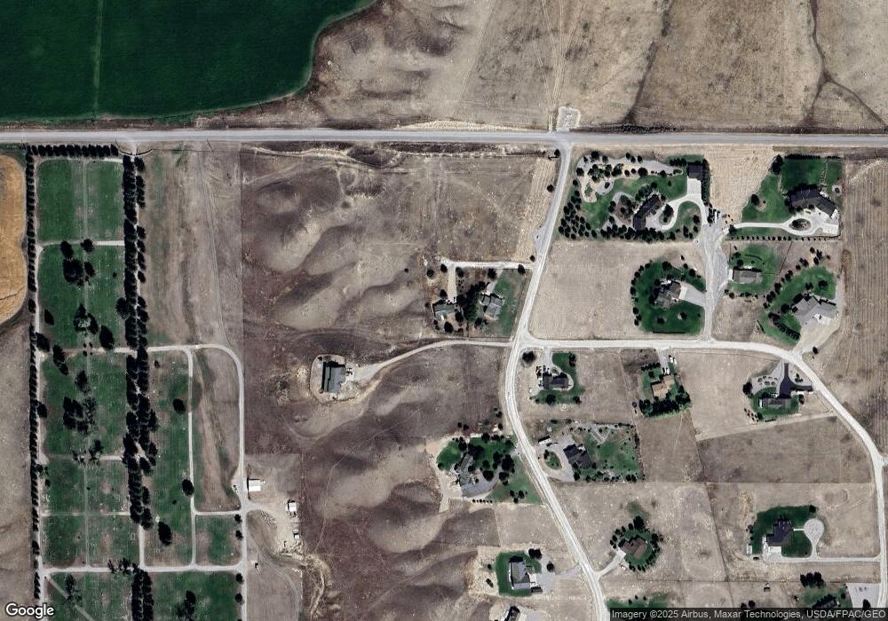
Map
Nearby Homes
- Lot 4 Dancing Winds Rd
- 430 Ten Peaks Dr
- Lot 13 Dancing Winds Rd
- Lot 11 Dancing Winds Rd
- 652 Kentucky Ave
- Lot 10 Dancing Winds Rd
- 1115 E Center St
- 113 Skihi St
- 330 N Walnut St
- 434 Barnett Ave
- 504 -536 Barnett Ave
- 467 Taylor Dr
- 9 Skihi St
- 43 Tobacco Root Rd
- 343 N Montana St
- 31 N Dakota St
- 205 N Pacific St
- 830 E Morse St
- 805 E Orr St
- 1275 Montana 91 Unit B
- 78a Fox Ridge Dr
- 78 Fox Ridge Dr
- 55 Badger Run Dr
- 52 Badger Run Dr
- 4 Badger Run Dr
- 188 Fox Ridge Dr
- 16 Fox Ridge Dr
- 205 Fox Ridge Dr
- 5 Fox Ct
- 82 Badger Run Dr
- 15 Fox Ct
- 10 Fox Ct
- 270 Fox Ridge Dr
- 249 Fox Ridge Dr
- 158 Badger Run Dr
- 99 Badger Run Dr
- 312 Fox Ridge Dr
- 0 Fox Ridge Dr
- 165 Badger Run Dr
- 332 Fox Ridge Dr