79 Hall Rd Vincent, OH 45784
Estimated Value: $125,000 - $210,000
3
Beds
2
Baths
1,352
Sq Ft
$125/Sq Ft
Est. Value
About This Home
This home is located at 79 Hall Rd, Vincent, OH 45784 and is currently estimated at $169,305, approximately $125 per square foot. 79 Hall Rd is a home with nearby schools including Warren High School.
Ownership History
Date
Name
Owned For
Owner Type
Purchase Details
Closed on
Jun 17, 2005
Sold by
Oster Richie L and M Lynn Oster V
Bought by
Burt David L and Burt Merrilee A
Current Estimated Value
Home Financials for this Owner
Home Financials are based on the most recent Mortgage that was taken out on this home.
Original Mortgage
$25,000
Interest Rate
6.37%
Mortgage Type
Purchase Money Mortgage
Purchase Details
Closed on
Jul 17, 1998
Bought by
Oster Rich L and Oster Ynn
Purchase Details
Closed on
Oct 30, 1989
Bought by
Hune Steven M
Create a Home Valuation Report for This Property
The Home Valuation Report is an in-depth analysis detailing your home's value as well as a comparison with similar homes in the area
Purchase History
| Date | Buyer | Sale Price | Title Company |
|---|---|---|---|
| Burt David L | $25,000 | None Available | |
| Oster Rich L | $30,000 | -- | |
| Oster Rich L | $30,000 | -- | |
| Hune Steven M | -- | -- | |
| Hune Steven M | -- | -- |
Source: Public Records
Mortgage History
| Date | Status | Borrower | Loan Amount |
|---|---|---|---|
| Previous Owner | Burt David L | $25,000 |
Source: Public Records
Tax History
| Year | Tax Paid | Tax Assessment Tax Assessment Total Assessment is a certain percentage of the fair market value that is determined by local assessors to be the total taxable value of land and additions on the property. | Land | Improvement |
|---|---|---|---|---|
| 2024 | $1,952 | $41,530 | $7,030 | $34,500 |
| 2023 | $1,585 | $41,530 | $7,030 | $34,500 |
| 2022 | $1,578 | $41,530 | $7,030 | $34,500 |
| 2021 | $1,262 | $31,880 | $4,510 | $27,370 |
| 2020 | $1,261 | $31,880 | $4,510 | $27,370 |
| 2019 | $1,243 | $31,880 | $4,510 | $27,370 |
| 2018 | $1,279 | $31,870 | $4,510 | $27,360 |
| 2017 | $1,272 | $31,870 | $4,510 | $27,360 |
| 2016 | $1,574 | $31,870 | $4,510 | $27,360 |
| 2015 | $942 | $26,290 | $4,360 | $21,930 |
| 2014 | $1,314 | $26,290 | $4,360 | $21,930 |
| 2013 | $903 | $26,230 | $4,300 | $21,930 |
Source: Public Records
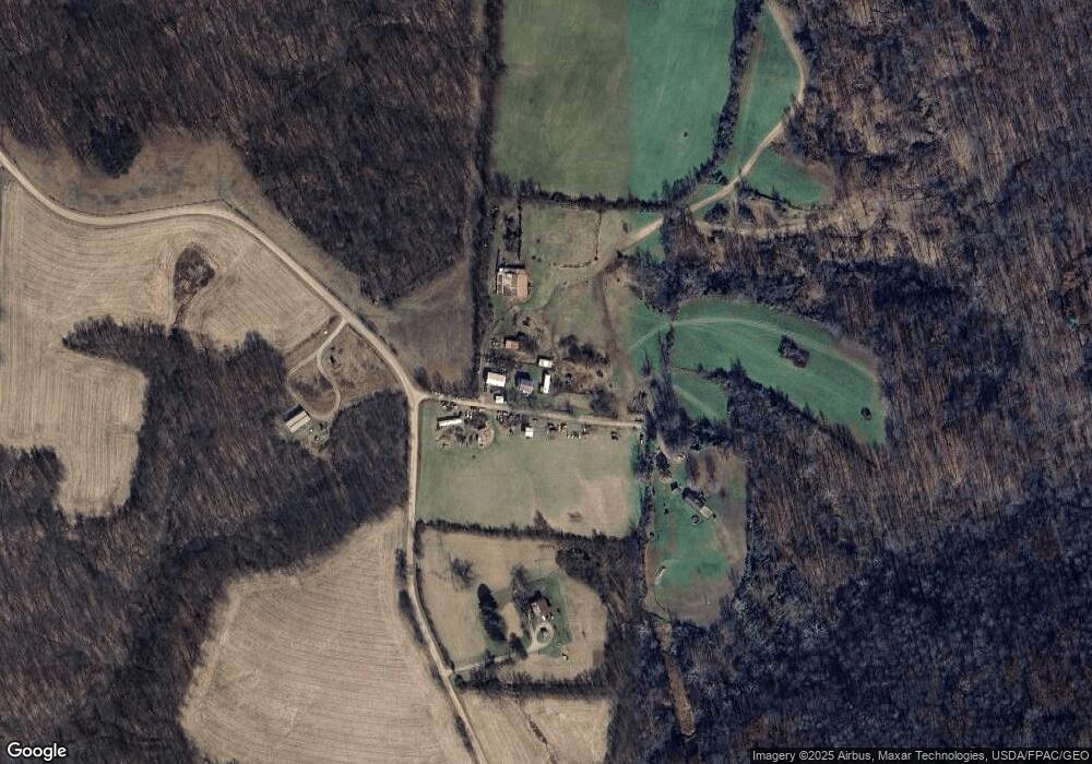
Map
Nearby Homes
- 10270 Ohio 550
- 8030 State Route 339
- 0 Layman Rd Unit 25046006
- 6570 State Route 339
- 1015 Brackenridge Rd
- 10507 Ohio 339
- 265 James Ln
- 280 Asher Ln
- 232 Mcgill Rd
- 2207 Veto Rd
- 2425 Rocky Point Rd
- 1556 Mcgill Rd
- 2533 Oak Hill Rd
- 81 James Rd
- 849 Clark Rd
- 0 Fisher Ridge Rd
- 111 T322
- Lot 2 Shinn Rd
- Lot 1 Shinn Rd
- 0 Fisher Ridge Rd Tract 1
- 1359 Layman Rd
- 71 Hall Rd
- 1705 Layman Rd
- 1817 Layman Rd
- 1604 Layman Rd
- 1894 Layman Rd
- 0 Clark Rd Unit M226297
- 7-8-9 McKay's Subdivison
- 2109 Layman Rd
- 788 Layman Rd
- 8920 Ohio 550
- 2195 Layman Rd
- 8998 State Route 550
- 8920 State Route 550
- 8920 State Route 550
- 8780 State Route 550
- 8680 State Route 550
- 8780 Ohio 550
- 2260 Layman Rd
- 476 Samples Rd
Your Personal Tour Guide
Ask me questions while you tour the home.