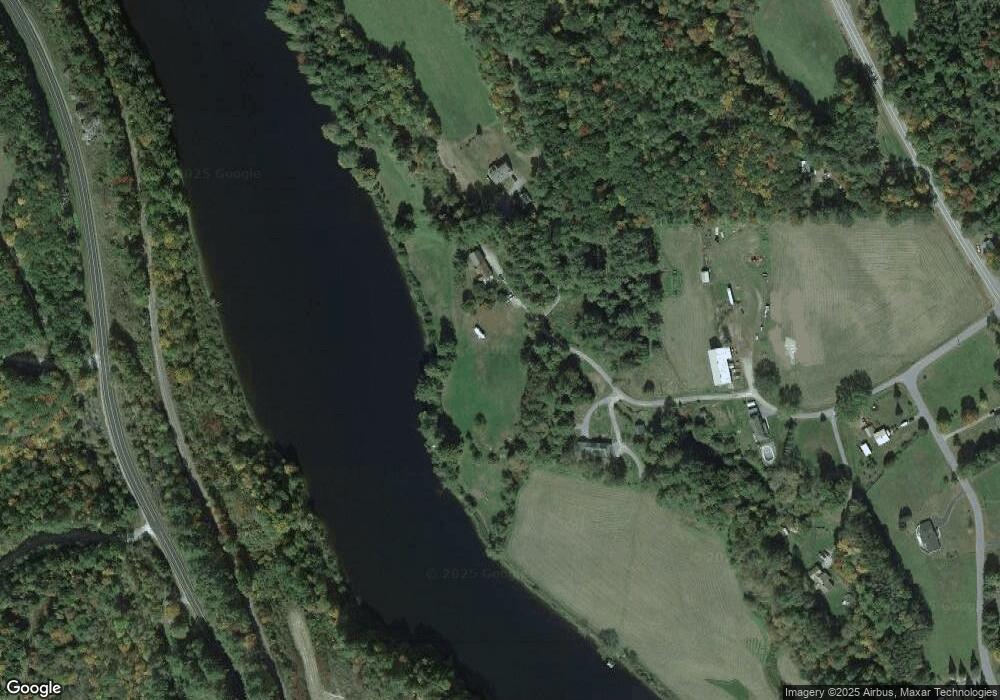
79 Hammond Rd Monroe, NH 03771
Estimated Value: $537,000 - $755,000
4
Beds
3
Baths
2,000
Sq Ft
$313/Sq Ft
Est. Value
About This Home
This home is located at 79 Hammond Rd, Monroe, NH 03771 and is currently estimated at $625,534, approximately $312 per square foot. 79 Hammond Rd is a home located in Grafton County with nearby schools including Monroe Consolidated School.
Ownership History
Date
Name
Owned For
Owner Type
Purchase Details
Closed on
Jan 5, 2017
Sold by
Ellis Gordon
Bought by
Welsh Susan B
Current Estimated Value
Home Financials for this Owner
Home Financials are based on the most recent Mortgage that was taken out on this home.
Original Mortgage
$92,000
Outstanding Balance
$44,350
Interest Rate
3.25%
Mortgage Type
New Conventional
Estimated Equity
$581,184
Purchase Details
Closed on
May 27, 2011
Sold by
Fnma
Bought by
Hatley John
Purchase Details
Closed on
May 14, 2010
Sold by
Upton Michael A and Fnma
Bought by
Federal National Mortgage Association
Purchase Details
Closed on
Oct 15, 2004
Sold by
Craig Bruce L and Craig Edith M
Bought by
Upton Michael A and Upton Tammy
Create a Home Valuation Report for This Property
The Home Valuation Report is an in-depth analysis detailing your home's value as well as a comparison with similar homes in the area
Home Values in the Area
Average Home Value in this Area
Purchase History
| Date | Buyer | Sale Price | Title Company |
|---|---|---|---|
| Welsh Susan B | $45,000 | -- | |
| Hatley John | $174,800 | -- | |
| Federal National Mortgage Association | $262,200 | -- | |
| Upton Michael A | $325,000 | -- |
Source: Public Records
Mortgage History
| Date | Status | Borrower | Loan Amount |
|---|---|---|---|
| Open | Upton Michael A | $92,000 | |
| Closed | Upton Michael A | $50,000 | |
| Previous Owner | Upton Michael A | $50,000 |
Source: Public Records
Tax History Compared to Growth
Tax History
| Year | Tax Paid | Tax Assessment Tax Assessment Total Assessment is a certain percentage of the fair market value that is determined by local assessors to be the total taxable value of land and additions on the property. | Land | Improvement |
|---|---|---|---|---|
| 2024 | $4,814 | $451,600 | $62,800 | $388,800 |
| 2023 | $4,394 | $451,600 | $62,800 | $388,800 |
| 2022 | $3,150 | $258,400 | $53,900 | $204,500 |
| 2020 | $3,096 | $258,400 | $53,900 | $204,500 |
| 2019 | $2,930 | $258,400 | $53,900 | $204,500 |
| 2018 | $2,762 | $258,400 | $53,900 | $204,500 |
| 2016 | $2,479 | $218,600 | $35,600 | $183,000 |
| 2015 | $2,300 | $218,600 | $35,600 | $183,000 |
| 2014 | $2,621 | $218,600 | $35,600 | $183,000 |
| 2012 | $3,084 | $272,200 | $57,500 | $214,700 |
Source: Public Records
Map
Nearby Homes
- 4966 Us Route 5 S
- 4966 U S 5
- 630 Plains Rd
- 5989 Ryegate Rd
- 4706 Us Route 5 S
- 00 Woodsville Rd
- 146 Symns Pond Rd
- 00 Coppermine Rd Unit 59
- 1291 Littleton Rd
- 125 S Main St
- 392 Maple Dr
- 182 Symes Pond Rd
- 286 Carter St
- 88 Mill Hill
- 1573 Us Route 5 S
- 201 Under the Mountain Rd
- 177 Under the Mountain Rd
- 762 McLaren Hill Rd
- 9 Henderson Dr
- 0 Ferguson Rd
- 77 Hammond Rd
- 75 Hammond Rd
- 71 Hammond Rd
- 422 Woodsville Rd
- 410 Woodsville Rd
- 51 Hammond Rd
- 6727 Ryegate Rd
- 55 Hammond Rd
- 441 Woodsville Rd
- 123 Winchester Dr
- 453 Woodsville Rd
- 140 Winchester Dr
- 6683 Ryegate Rd
- 6867 Ryegate Rd
- 477 Woodsville Rd
- 108 Winchester Dr
- 117 Belleview Dr
- 90 Winchester Dr
- 71 Winchester Dr
- 499 Woodsville Rd
