79 Knox Rd Litchfield, CT 06759
Estimated Value: $496,707 - $815,000
4
Beds
2
Baths
2,222
Sq Ft
$268/Sq Ft
Est. Value
About This Home
This home is located at 79 Knox Rd, Litchfield, CT 06759 and is currently estimated at $595,677, approximately $268 per square foot. 79 Knox Rd is a home located in Litchfield County with nearby schools including Center School, Litchfield Intermediate School, and Litchfield High School.
Ownership History
Date
Name
Owned For
Owner Type
Purchase Details
Closed on
Jul 16, 1999
Sold by
Shafer Gordon and Shafer Leslie
Bought by
Carpenter Peter and Carpenter Susan
Current Estimated Value
Home Financials for this Owner
Home Financials are based on the most recent Mortgage that was taken out on this home.
Original Mortgage
$60,000
Interest Rate
7.39%
Purchase Details
Closed on
Sep 30, 1992
Sold by
Shafer Gordon G
Bought by
Shaper Leslie
Create a Home Valuation Report for This Property
The Home Valuation Report is an in-depth analysis detailing your home's value as well as a comparison with similar homes in the area
Home Values in the Area
Average Home Value in this Area
Purchase History
| Date | Buyer | Sale Price | Title Company |
|---|---|---|---|
| Carpenter Peter | $250,000 | -- | |
| Shaper Leslie | $40,000 | -- |
Source: Public Records
Mortgage History
| Date | Status | Borrower | Loan Amount |
|---|---|---|---|
| Open | Shaper Leslie | $90,000 | |
| Closed | Shaper Leslie | $115,000 | |
| Closed | Shaper Leslie | $60,000 |
Source: Public Records
Tax History
| Year | Tax Paid | Tax Assessment Tax Assessment Total Assessment is a certain percentage of the fair market value that is determined by local assessors to be the total taxable value of land and additions on the property. | Land | Improvement |
|---|---|---|---|---|
| 2025 | $5,527 | $276,370 | $63,000 | $213,370 |
| 2024 | $5,113 | $276,370 | $63,000 | $213,370 |
| 2023 | $4,920 | $184,280 | $57,400 | $126,880 |
| 2022 | $4,939 | $184,280 | $57,400 | $126,880 |
| 2021 | $5,086 | $184,280 | $57,400 | $126,880 |
| 2020 | $5,105 | $184,280 | $57,400 | $126,880 |
| 2019 | $5,197 | $184,280 | $57,400 | $126,880 |
| 2018 | $5,415 | $195,500 | $72,800 | $122,700 |
| 2017 | $5,396 | $195,500 | $72,800 | $122,700 |
| 2016 | $5,220 | $195,500 | $72,800 | $122,700 |
| 2015 | -- | $195,500 | $72,800 | $122,700 |
| 2014 | $4,927 | $195,500 | $72,800 | $122,700 |
Source: Public Records
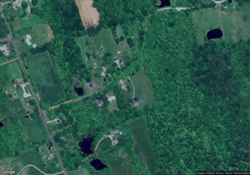
Map
Nearby Homes
- 700 Bantam Rd
- 28 Trumbull St
- 161 Circle Dr
- 38 Old Turnpike Rd
- 91 North St
- 28 Headquarters Rd
- 124 North St
- 44 South St
- 00 Torrington Rd
- 137 Old South Rd
- 204 Goodhouse Rd
- 552 Milton Rd
- 415 South St
- 11 W Chestnut Hill Rd
- 403 Beach St
- 107 Island Trail
- 44 Bantam Lake Heights
- 165 Stoddard Rd
- 187 Stoddard Rd
- 262 Stoddard Rd
Your Personal Tour Guide
Ask me questions while you tour the home.