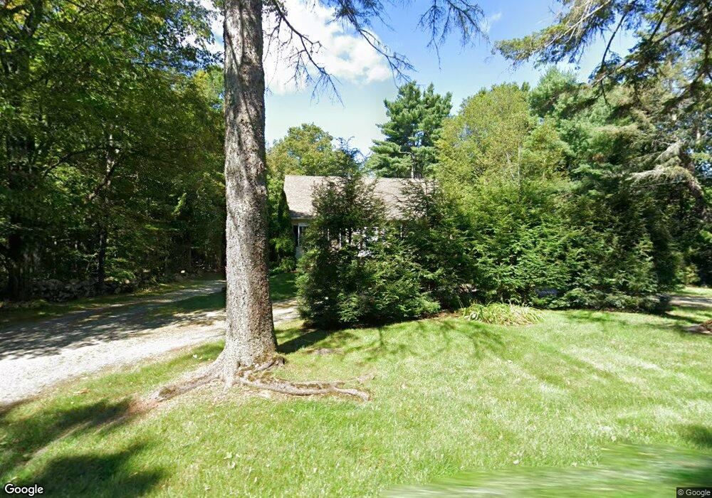
79 North St Rindge, NH 03461
Rindge AreaEstimated Value: $402,000 - $506,000
About This Home
This home is located at 79 North St, Rindge, NH 03461 and is currently estimated at $465,525, approximately $267 per square foot. 79 North St is a home located in Cheshire County with nearby schools including Rindge Memorial School, Conant Middle High School, and Conant High School.
Ownership History
We collect this data history from publicly available records. To have your information removed, we recommend requesting removal directly through your county’s website.
Purchase Details
Purchase Details
Purchase Details
Home Values in the Area
Average Home Value in this Area
Purchase History
We collect this data history from publicly available records. To have your information removed, we recommend requesting removal directly through your county’s website.
| Date | Buyer | Sale Price | Title Company |
|---|---|---|---|
| $205,000 | -- | ||
| $50,000 | -- | ||
| $142,900 | -- |
Tax History
We collect this data history from publicly available records. To have your information removed, we recommend requesting removal directly through your county’s website.
| Year | Tax Paid | Tax Assessment Tax Assessment Total Assessment is a certain percentage of the fair market value that is determined by local assessors to be the total taxable value of land and additions on the property. | Land | Improvement |
|---|---|---|---|---|
| 2024 | $5,877 | $232,200 | $44,200 | $188,000 |
| 2023 | $5,814 | $232,200 | $44,200 | $188,000 |
| 2022 | $5,348 | $232,200 | $44,200 | $188,000 |
| 2021 | $5,259 | $232,200 | $44,200 | $188,000 |
| 2020 | $5,213 | $232,200 | $44,200 | $188,000 |
| 2019 | $6,416 | $199,800 | $34,600 | $165,200 |
| 2018 | $5,495 | $199,800 | $34,600 | $165,200 |
| 2017 | $5,433 | $199,800 | $34,600 | $165,200 |
| 2016 | $5,576 | $199,800 | $34,600 | $165,200 |
| 2015 | $5,572 | $199,800 | $34,600 | $165,200 |
| 2014 | $5,281 | $202,900 | $60,000 | $142,900 |
| 2013 | $5,166 | $202,900 | $60,000 | $142,900 |
Map
- 97 North St
- 14 Tico Rd
- 64 Old Ashburnham Rd
- 803 Nh Route 119
- 19 Heritage Dr
- 33 Old New Ipswich Rd
- 262 E Monomonac Rd
- 31 Crowcroft Dr
- 33 Andel Ave
- 78 Colburn Ln
- 20 Jay Dr
- 375 Main St
- 10 Sun Cliff Dr
- 238 Fourth St
- 92 Old Cathedral Rd
- 37 Todd Hill Rd
- 590 Main St
- Unit 1 Willow Ln
- 63 Amalia Way
- 220 Hubbard Pond Rd Unit 2
Ask me questions while you tour the home.