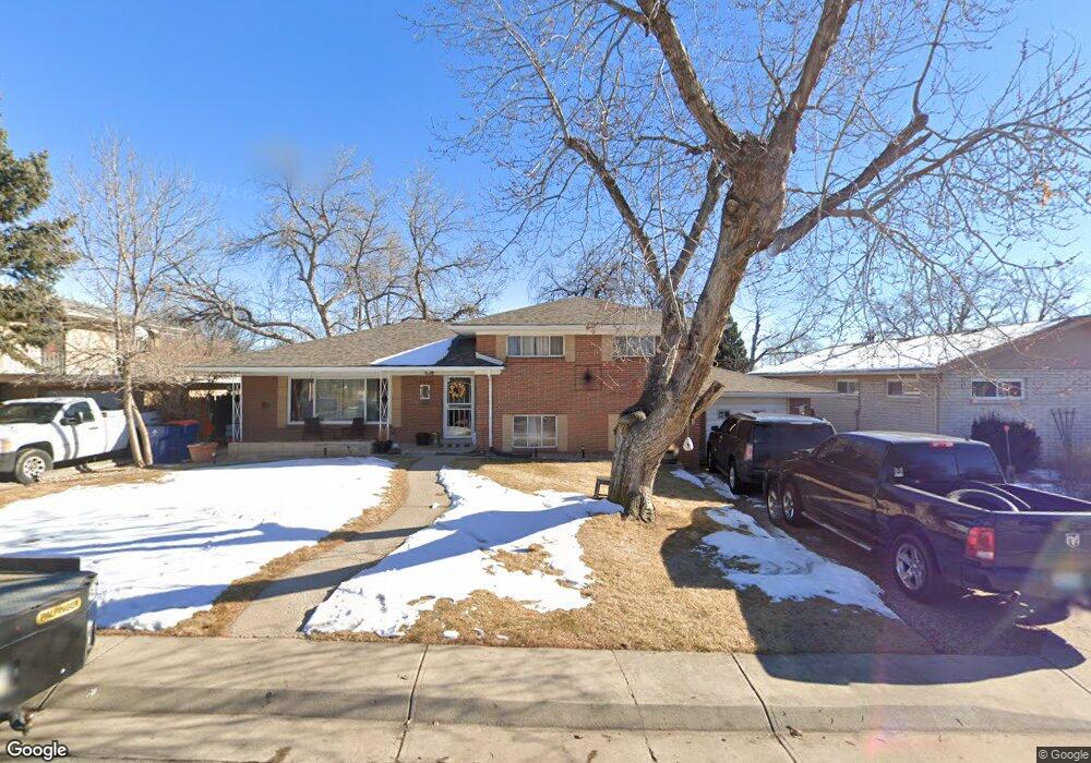
7900 Robin Ln Denver, CO 80221
Sherrelwood NeighborhoodEstimated Value: $440,738 - $496,000
4
Beds
1
Bath
1,920
Sq Ft
$248/Sq Ft
Est. Value
About This Home
This home is located at 7900 Robin Ln, Denver, CO 80221 and is currently estimated at $476,435, approximately $248 per square foot. 7900 Robin Ln is a home located in Adams County with nearby schools including Fairview PK-8, Iver C. Ranum Middle School, and Westminster High School.
Ownership History
Date
Name
Owned For
Owner Type
Purchase Details
Closed on
Jul 30, 2008
Sold by
Broomfield Lending Llc
Bought by
Wellton Mortgage Co
Current Estimated Value
Purchase Details
Closed on
Feb 9, 2007
Sold by
Haro Alejandro and Haro Angela
Bought by
Broomfield Lending Llc
Purchase Details
Closed on
Oct 26, 2001
Sold by
Chaney Eugene
Bought by
Haro Alejandro and Haro Angela
Home Financials for this Owner
Home Financials are based on the most recent Mortgage that was taken out on this home.
Original Mortgage
$178,640
Interest Rate
6.84%
Mortgage Type
FHA
Create a Home Valuation Report for This Property
The Home Valuation Report is an in-depth analysis detailing your home's value as well as a comparison with similar homes in the area
Home Values in the Area
Average Home Value in this Area
Purchase History
| Date | Buyer | Sale Price | Title Company |
|---|---|---|---|
| Wellton Mortgage Co | -- | None Available | |
| Broomfield Lending Llc | -- | None Available | |
| Haro Alejandro | $181,500 | Chicago Title Co |
Source: Public Records
Mortgage History
| Date | Status | Borrower | Loan Amount |
|---|---|---|---|
| Previous Owner | Haro Alejandro | $178,640 |
Source: Public Records
Tax History
| Year | Tax Paid | Tax Assessment Tax Assessment Total Assessment is a certain percentage of the fair market value that is determined by local assessors to be the total taxable value of land and additions on the property. | Land | Improvement |
|---|---|---|---|---|
| 2025 | $3,228 | $30,130 | $5,850 | $24,280 |
| 2024 | $3,228 | $27,690 | $5,380 | $22,310 |
| 2023 | $3,209 | $31,530 | $5,550 | $25,980 |
| 2022 | $3,015 | $24,620 | $5,700 | $18,920 |
| 2021 | $3,075 | $24,620 | $5,700 | $18,920 |
| 2020 | $2,803 | $22,820 | $5,860 | $16,960 |
| 2019 | $2,794 | $22,820 | $5,860 | $16,960 |
| 2018 | $2,244 | $18,120 | $5,900 | $12,220 |
| 2017 | $1,967 | $18,120 | $5,900 | $12,220 |
| 2016 | $1,646 | $14,320 | $2,790 | $11,530 |
| 2015 | $1,644 | $14,320 | $2,790 | $11,530 |
| 2014 | -- | $14,580 | $2,470 | $12,110 |
Source: Public Records
Map
Nearby Homes
- 7880 Valley View Dr
- 2840 Cottonwood Dr
- 0 W 80th Ave
- 8029 Clay Dr
- 8028 Bryant St
- 2927 W 81st Ave Unit C
- 2612 Meadowbrook Dr
- 2915 W 81st Ave Unit D
- 2929 W 81st Ave Unit A
- 2941 W 81st Ave Unit F
- 2785 Skyline Dr
- 7620 Hooker St
- 2420 Cottonwood Dr
- 2500 Westchester Dr
- 3360 Appleblossom Ln
- 8072 Julian St
- 7836 Vallejo St
- 7488 Canosa Ct
- 2430 W 82nd Place Unit 2D
- 7786 Lowell Blvd
- 7920 Robin Ln
- 7880 Robin Ln
- 7881 Crestview Ln
- 7901 Crestview Ln
- 7940 Robin Ln
- 7871 Crestview Ln
- 7860 Robin Ln
- 7921 Robin Ln
- 7891 Robin Ln
- 7931 Robin Ln
- 7921 Crestview Ln
- 7941 Robin Ln
- 7881 Robin Ln
- 7931 Crestview Ln
- 7945 Robin Ln
- 7870 Crestview Ln
- 7880 Crestview Ln
- 7830 Robin Ln
- 7960 Robin Ln
- 7970 Robin Ln
Your Personal Tour Guide
Ask me questions while you tour the home.