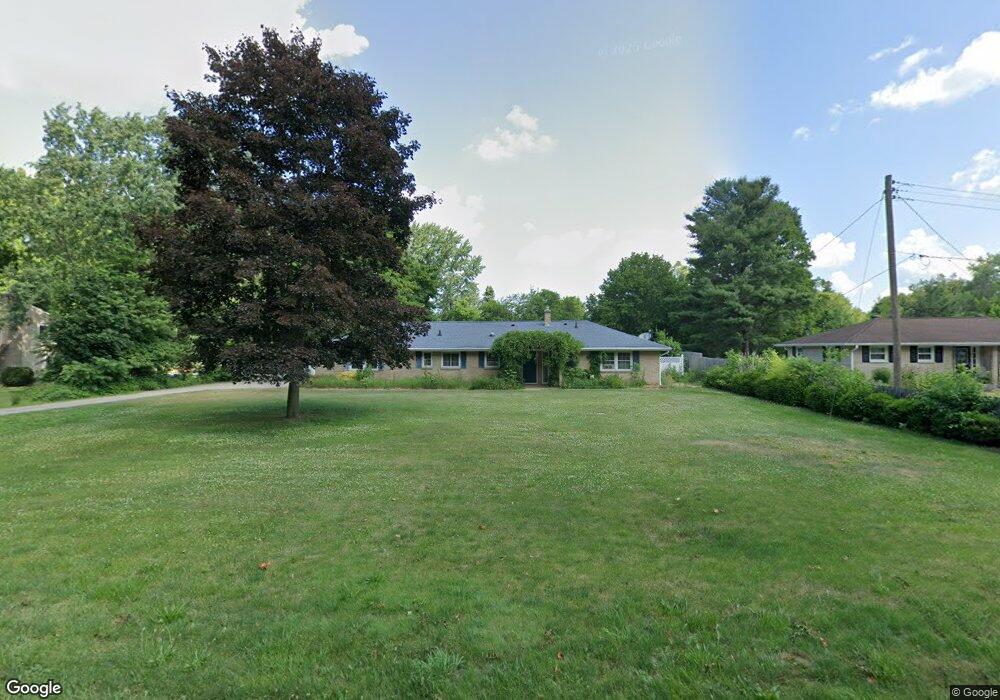
7905 E Ml Ave Kalamazoo, MI 49048
Estimated Value: $219,000 - $292,739
3
Beds
2
Baths
1,710
Sq Ft
$153/Sq Ft
Est. Value
About This Home
This home is located at 7905 E Ml Ave, Kalamazoo, MI 49048 and is currently estimated at $261,685, approximately $153 per square foot. 7905 E Ml Ave is a home located in Kalamazoo County with nearby schools including Comstock Middle School and Comstock High School.
Ownership History
Date
Name
Owned For
Owner Type
Purchase Details
Closed on
Apr 27, 2012
Sold by
Burgett Michael L and Burgett Susan A
Bought by
Schuster Courtney and Schuster Lisa
Current Estimated Value
Purchase Details
Closed on
Jun 2, 2003
Sold by
Williams Kent R and Williams Laura L
Bought by
Burgett Michael L and Burgett Susan A
Home Financials for this Owner
Home Financials are based on the most recent Mortgage that was taken out on this home.
Original Mortgage
$137,700
Interest Rate
5.4%
Mortgage Type
VA
Create a Home Valuation Report for This Property
The Home Valuation Report is an in-depth analysis detailing your home's value as well as a comparison with similar homes in the area
Home Values in the Area
Average Home Value in this Area
Purchase History
| Date | Buyer | Sale Price | Title Company |
|---|---|---|---|
| Schuster Courtney | $153,000 | Devon Title | |
| Burgett Michael L | $135,000 | Chicago Title |
Source: Public Records
Mortgage History
| Date | Status | Borrower | Loan Amount |
|---|---|---|---|
| Previous Owner | Burgett Michael L | $137,700 |
Source: Public Records
Tax History
| Year | Tax Paid | Tax Assessment Tax Assessment Total Assessment is a certain percentage of the fair market value that is determined by local assessors to be the total taxable value of land and additions on the property. | Land | Improvement |
|---|---|---|---|---|
| 2025 | $2,234 | $144,100 | $0 | $0 |
| 2024 | $2,171 | $128,900 | $0 | $0 |
| 2023 | $2,069 | $125,200 | $0 | $0 |
| 2022 | $3,576 | $94,700 | $0 | $0 |
| 2021 | $3,478 | $97,800 | $0 | $0 |
| 2020 | $3,265 | $86,600 | $0 | $0 |
| 2019 | $3,018 | $80,700 | $0 | $0 |
| 2018 | $2,912 | $81,100 | $0 | $0 |
| 2017 | $0 | $80,800 | $0 | $0 |
| 2016 | -- | $79,800 | $0 | $0 |
| 2015 | -- | $71,200 | $9,000 | $62,200 |
| 2014 | -- | $71,200 | $0 | $0 |
Source: Public Records
Map
Nearby Homes
- 0 E Ml Ave Unit 25057079
- 7702 N Gleneagle Dr
- 4405 S 29th St
- 103 Morrow St
- 6779 E Mn Ave
- 8478 E Michigan Ave
- 102 N 30th St Unit lot 37
- 7062 E Michigan Ave
- 6390 Celery St
- 3619 New Farm St
- 6315 Wright St
- 6230 Wright St
- 6291 Francis St
- 115 Grandview Unit 8
- 3633 New Farm St
- 134 Grandview Unit 47
- 210 Station Hill St
- 228 Ermine Ave
- 165 Grandview
- 5828 Celery St
- 7933 E Ml Ave
- 7881 E Ml Ave
- 7974 E Gleneagle Dr
- 7973 E Ml Ave
- 7863 E Ml Ave
- 7956 E Gleneagle Dr
- 7 E Gleneagle Dr
- 7997 E Ml Ave
- 7892 E Ml Ave
- 7979 E Gleneagle Dr
- 5290 E Ml Ave
- V/L E Ml Ave
- 0 E Ml Ave Unit M13042951
- 0 E Ml Ave Unit B-10 M15005570
- 0 E Ml Ave Unit B-40 M15005579
- 0 E Ml Ave Unit B-30 M15005577
- 0 E Ml Ave Unit A-30 M15010375
- 0 E Ml Ave Unit A-90 M15005535
- 0 E Ml Ave Unit A-80 M15005534
- 0 E Ml Ave Unit A-70 M15005524
Your Personal Tour Guide
Ask me questions while you tour the home.