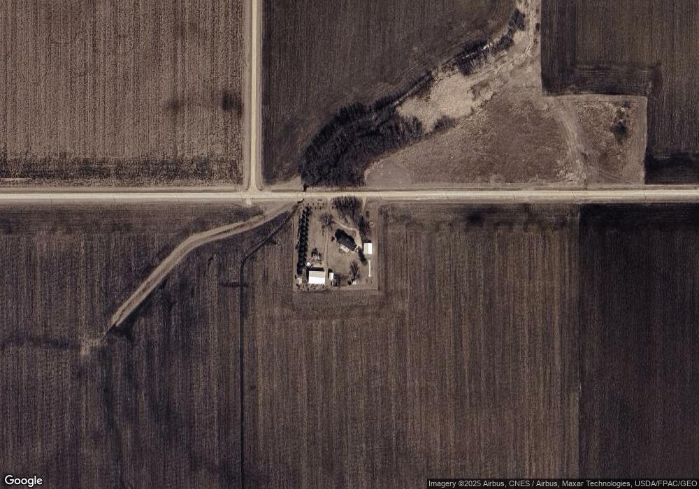
79077 220th St Spring Valley, MN 55975
Estimated Value: $319,000 - $737,000
5
Beds
4
Baths
3,192
Sq Ft
$167/Sq Ft
Est. Value
About This Home
This home is located at 79077 220th St, Spring Valley, MN 55975 and is currently estimated at $531,614, approximately $166 per square foot. 79077 220th St is a home with nearby schools including Leroy Elementary School and Leroy Secondary School.
Ownership History
Date
Name
Owned For
Owner Type
Purchase Details
Closed on
Jun 17, 2013
Sold by
Boland Bryan J
Bought by
Boland Trust
Current Estimated Value
Purchase Details
Closed on
Feb 16, 2006
Sold by
Wells Fargo Financial Minnesota Inc
Bought by
Boland Bryan and Boland Jennifer
Home Financials for this Owner
Home Financials are based on the most recent Mortgage that was taken out on this home.
Original Mortgage
$26,580
Interest Rate
6.2%
Mortgage Type
Future Advance Clause Open End Mortgage
Purchase Details
Closed on
Jun 7, 2005
Sold by
Gramling Michael L and Gramling Teresa L
Bought by
Wells Fargo Financial Minnesota Inc
Create a Home Valuation Report for This Property
The Home Valuation Report is an in-depth analysis detailing your home's value as well as a comparison with similar homes in the area
Home Values in the Area
Average Home Value in this Area
Purchase History
| Date | Buyer | Sale Price | Title Company |
|---|---|---|---|
| Boland Trust | -- | -- | |
| Boland Bryan | $132,900 | Rels Title | |
| Wells Fargo Financial Minnesota Inc | -- | None Available |
Source: Public Records
Mortgage History
| Date | Status | Borrower | Loan Amount |
|---|---|---|---|
| Previous Owner | Boland Bryan | $26,580 |
Source: Public Records
Tax History Compared to Growth
Tax History
| Year | Tax Paid | Tax Assessment Tax Assessment Total Assessment is a certain percentage of the fair market value that is determined by local assessors to be the total taxable value of land and additions on the property. | Land | Improvement |
|---|---|---|---|---|
| 2025 | $4,492 | $457,700 | $60,200 | $397,500 |
| 2024 | $4,492 | $487,900 | $50,200 | $437,700 |
| 2023 | $3,764 | $441,300 | $50,200 | $391,100 |
| 2022 | $3,200 | $352,000 | $50,200 | $301,800 |
| 2021 | $2,806 | $291,000 | $43,700 | $247,300 |
| 2020 | $2,452 | $270,000 | $43,700 | $226,300 |
| 2018 | $651 | $220,500 | $40,100 | $180,400 |
| 2017 | $1,302 | $0 | $0 | $0 |
| 2016 | $1,070 | $0 | $0 | $0 |
| 2015 | $1,432 | $0 | $0 | $0 |
| 2012 | $1,432 | $0 | $0 | $0 |
Source: Public Records
Map
Nearby Homes
- XXX Sata Dr
- 213 W Fremont St
- 313 N Hudson Ave
- 528 N Broadway St
- 700 S Section Ave
- 517 Warren Ave
- 712 Memorial Dr
- 709 Mlinar Ave
- 321 N Section Ave
- 409 Center Ave
- 113 E Fairview St
- 505 E Farmer St
- xxx Highway 63
- xxx 265th St
- 79275 267th St
- XXX 256th St
- xxx 739th Ave
- 527 Elliot Dr SE
- 119 Brittany Way SE
- 109 Brittany Way SE