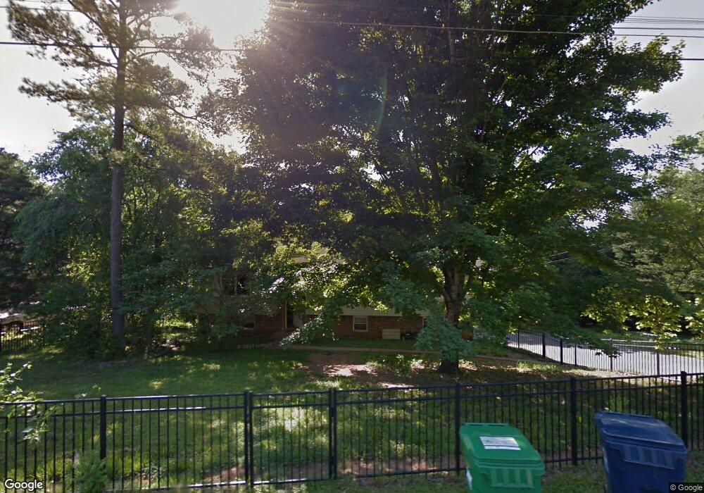
7918 Cove Ridge Dr Unit 433 Hixson, TN 37343
Estimated Value: $376,000 - $401,000
--
Bed
3
Baths
1,972
Sq Ft
$198/Sq Ft
Est. Value
About This Home
This home is located at 7918 Cove Ridge Dr Unit 433, Hixson, TN 37343 and is currently estimated at $389,693, approximately $197 per square foot. 7918 Cove Ridge Dr Unit 433 is a home located in Hamilton County with nearby schools including McConnell Elementary School, Loftis Middle School, and Hixson High School.
Ownership History
Date
Name
Owned For
Owner Type
Purchase Details
Closed on
Jul 7, 2021
Sold by
Mccuiston Bertram Bliss and Mccuiston Samantha
Bought by
Cartreette Ronald P and Cartrette Patricia R
Current Estimated Value
Home Financials for this Owner
Home Financials are based on the most recent Mortgage that was taken out on this home.
Original Mortgage
$231,920
Outstanding Balance
$210,431
Interest Rate
2.9%
Mortgage Type
New Conventional
Estimated Equity
$179,262
Purchase Details
Closed on
Jul 13, 2017
Sold by
Disbrow Steven Willard and Disbrow Bonnie J
Bought by
Mccuiston Bertram Bliss and Mccuiston Samantha
Home Financials for this Owner
Home Financials are based on the most recent Mortgage that was taken out on this home.
Original Mortgage
$161,500
Interest Rate
3.89%
Mortgage Type
New Conventional
Purchase Details
Closed on
Apr 6, 1998
Sold by
Disbrow Steven Willard
Bought by
Disbrow Noreen Marie
Create a Home Valuation Report for This Property
The Home Valuation Report is an in-depth analysis detailing your home's value as well as a comparison with similar homes in the area
Home Values in the Area
Average Home Value in this Area
Purchase History
| Date | Buyer | Sale Price | Title Company |
|---|---|---|---|
| Cartreette Ronald P | $289,900 | None Available | |
| Mccuiston Bertram Bliss | $170,000 | Foundation Title & Escrow Ch | |
| Disbrow Noreen Marie | -- | -- |
Source: Public Records
Mortgage History
| Date | Status | Borrower | Loan Amount |
|---|---|---|---|
| Open | Cartreette Ronald P | $231,920 | |
| Previous Owner | Mccuiston Bertram Bliss | $161,500 |
Source: Public Records
Tax History Compared to Growth
Tax History
| Year | Tax Paid | Tax Assessment Tax Assessment Total Assessment is a certain percentage of the fair market value that is determined by local assessors to be the total taxable value of land and additions on the property. | Land | Improvement |
|---|---|---|---|---|
| 2024 | $1,034 | $46,225 | $0 | $0 |
| 2023 | $1,043 | $46,225 | $0 | $0 |
| 2022 | $1,043 | $46,225 | $0 | $0 |
| 2021 | $1,043 | $46,225 | $0 | $0 |
| 2020 | $1,098 | $39,375 | $0 | $0 |
| 2019 | $1,098 | $39,375 | $0 | $0 |
| 2018 | $1,098 | $39,375 | $0 | $0 |
| 2017 | $1,098 | $39,375 | $0 | $0 |
| 2016 | $1,016 | $0 | $0 | $0 |
| 2015 | $1,016 | $36,425 | $0 | $0 |
| 2014 | $1,016 | $0 | $0 | $0 |
Source: Public Records
Map
Nearby Homes
- 7900 Cove Ridge Dr
- 7604 Cove Ridge Dr
- 7825 Cove Ridge Dr
- 3513 Gold Point Cir S
- 7622 Cove Ridge Dr
- 3418 Gold Point Cir S
- 7716 Ridge Bay Dr
- 7551 Foster Hixson Cemetery Rd
- 2002 Gold Point Cir N
- 7498 Bendire Loop
- 7492 Bendire Loop
- 7468 Bendire Loop
- 7474 Bendire Loop
- 7450 Bendire Loop
- 342 Serena Dr
- 7348 Bendire Loop
- 7420 Bendire Loop
- Freeport Plan at The Cove at Thrasher Landing
- Hayden Plan at The Cove at Thrasher Landing
- Cali Plan at The Cove at Thrasher Landing
- 7918 Cove Ridge Dr
- 7922 Cove Ridge Dr
- 7914 Cove Ridge Dr
- 7919 Cove Ridge Dr
- 7924 Cove Ridge Dr
- 7924 Cove Ridge Dr Unit 433
- 7913 Cove Ridge Dr
- 7912 Cove Ridge Dr
- 7925 Cove Ridge Dr
- 7909 Cove Ridge Dr
- 7923 Cove Ridge Dr
- 7907 Cove Ridge Dr
- 7906 Cove Ridge Dr
- 7903 Cove Ridge Dr
- 7908 Cove Ridge Dr
- 7902 Cove Ridge Dr
- 2502 Lake Dweller Ln
- 2504 Lake Dweller Ln
- 2504 Lake Dweller Ln Unit 7
- 2501 Lake Dweller Ln