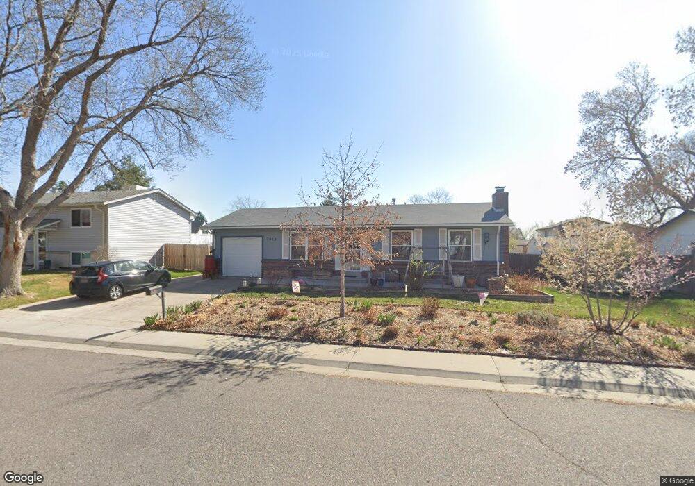
7918 Fenton St Arvada, CO 80003
Westdale NeighborhoodEstimated Value: $464,945 - $552,000
3
Beds
2
Baths
1,824
Sq Ft
$284/Sq Ft
Est. Value
About This Home
This home is located at 7918 Fenton St, Arvada, CO 80003 and is currently estimated at $518,736, approximately $284 per square foot. 7918 Fenton St is a home located in Jefferson County with nearby schools including Swanson Elementary School, Chester W. Nimitz Middle School, and North Arvada Middle School.
Ownership History
Date
Name
Owned For
Owner Type
Purchase Details
Closed on
Sep 25, 2009
Sold by
Wallace Glenn M and Wallace Diana C
Bought by
Decker Mindy L
Current Estimated Value
Home Financials for this Owner
Home Financials are based on the most recent Mortgage that was taken out on this home.
Original Mortgage
$102,300
Outstanding Balance
$67,748
Interest Rate
5.36%
Mortgage Type
New Conventional
Estimated Equity
$450,988
Purchase Details
Closed on
Mar 24, 1994
Sold by
Lantzy John A and Lantzy Florence R
Bought by
Wallace Glenn M and Wallace Diana C
Home Financials for this Owner
Home Financials are based on the most recent Mortgage that was taken out on this home.
Original Mortgage
$92,906
Interest Rate
7.05%
Mortgage Type
FHA
Create a Home Valuation Report for This Property
The Home Valuation Report is an in-depth analysis detailing your home's value as well as a comparison with similar homes in the area
Home Values in the Area
Average Home Value in this Area
Purchase History
| Date | Buyer | Sale Price | Title Company |
|---|---|---|---|
| Decker Mindy L | $174,650 | Htco | |
| Wallace Glenn M | $92,000 | Land Title |
Source: Public Records
Mortgage History
| Date | Status | Borrower | Loan Amount |
|---|---|---|---|
| Open | Decker Mindy L | $102,300 | |
| Previous Owner | Wallace Glenn M | $92,906 |
Source: Public Records
Tax History Compared to Growth
Tax History
| Year | Tax Paid | Tax Assessment Tax Assessment Total Assessment is a certain percentage of the fair market value that is determined by local assessors to be the total taxable value of land and additions on the property. | Land | Improvement |
|---|---|---|---|---|
| 2024 | $2,532 | $26,104 | $8,859 | $17,245 |
| 2023 | $2,532 | $26,104 | $8,859 | $17,245 |
| 2022 | $2,223 | $22,698 | $8,054 | $14,644 |
| 2021 | $2,260 | $23,351 | $8,285 | $15,066 |
| 2020 | $2,136 | $22,135 | $8,226 | $13,909 |
| 2019 | $2,107 | $22,135 | $8,226 | $13,909 |
| 2018 | $1,793 | $18,311 | $6,001 | $12,310 |
| 2017 | $1,641 | $18,311 | $6,001 | $12,310 |
| 2016 | $1,585 | $16,662 | $5,422 | $11,240 |
| 2015 | $1,310 | $16,662 | $5,422 | $11,240 |
| 2014 | $1,310 | $12,943 | $5,126 | $7,817 |
Source: Public Records
Map
Nearby Homes
- 5790 W 79th Ave
- 7958 Harlan St
- 7915 Chase Cir Unit 153
- 7917 Chase Cir Unit 160
- 7984 Chase Cir Unit 68
- 7973 Chase Cir Unit 56
- 5690 W 80th Place Unit 98
- 5620 W 80th Place Unit 67
- 7977 Chase Cir Unit 47
- 6161 W 77th Place
- 5743 W 76th Dr
- 5550 W 80th Place Unit 12
- 5550 W 80th Place Unit 23
- 7974 Chase Cir Unit 77
- 7980 Chase Cir Unit F
- 5803 Pomona Dr
- 7680 Depew St Unit 1424
- 7656 Depew St Unit 1802
- 7576 Eaton St
- 6040 W 75th Dr