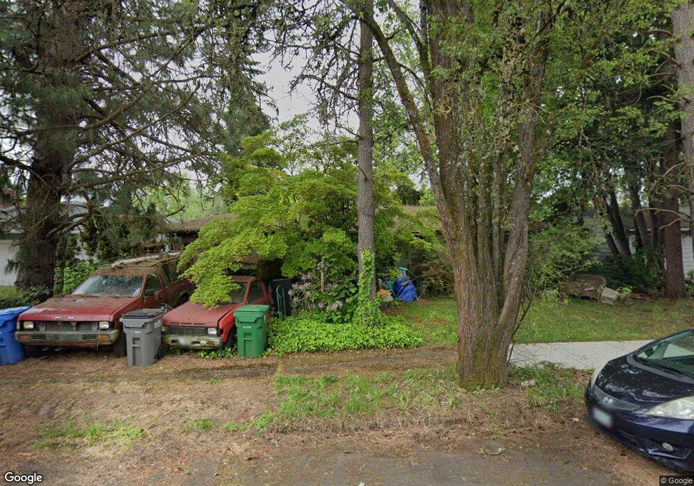
792 Barrett Ave Eugene, OR 97404
River Road NeighborhoodEstimated Value: $356,000 - $399,000
3
Beds
1
Bath
1,040
Sq Ft
$363/Sq Ft
Est. Value
About This Home
This home is located at 792 Barrett Ave, Eugene, OR 97404 and is currently estimated at $377,318, approximately $362 per square foot. 792 Barrett Ave is a home located in Lane County with nearby schools including Howard Elementary School, Kelly Middle School, and North Eugene High School.
Ownership History
Date
Name
Owned For
Owner Type
Purchase Details
Closed on
Oct 19, 1999
Sold by
Gladys Campbell
Bought by
Martinez Wenzl Vivian
Current Estimated Value
Home Financials for this Owner
Home Financials are based on the most recent Mortgage that was taken out on this home.
Original Mortgage
$108,600
Outstanding Balance
$32,295
Interest Rate
7.86%
Estimated Equity
$345,023
Create a Home Valuation Report for This Property
The Home Valuation Report is an in-depth analysis detailing your home's value as well as a comparison with similar homes in the area
Home Values in the Area
Average Home Value in this Area
Purchase History
| Date | Buyer | Sale Price | Title Company |
|---|---|---|---|
| Martinez Wenzl Vivian | $112,000 | Fidelity National Title Ins |
Source: Public Records
Mortgage History
| Date | Status | Borrower | Loan Amount |
|---|---|---|---|
| Open | Martinez Wenzl Vivian | $108,600 |
Source: Public Records
Tax History
| Year | Tax Paid | Tax Assessment Tax Assessment Total Assessment is a certain percentage of the fair market value that is determined by local assessors to be the total taxable value of land and additions on the property. | Land | Improvement |
|---|---|---|---|---|
| 2025 | $3,117 | $185,526 | -- | -- |
| 2024 | $3,083 | $180,123 | -- | -- |
| 2023 | $3,083 | $174,877 | $0 | $0 |
| 2022 | $2,900 | $169,784 | $0 | $0 |
| 2021 | $2,697 | $164,839 | $0 | $0 |
| 2020 | $2,716 | $160,038 | $0 | $0 |
| 2019 | $2,620 | $155,377 | $0 | $0 |
| 2018 | $2,434 | $146,458 | $0 | $0 |
| 2017 | $2,264 | $146,458 | $0 | $0 |
| 2016 | $2,134 | $142,192 | $0 | $0 |
| 2015 | $2,053 | $138,050 | $0 | $0 |
| 2014 | $2,044 | $134,029 | $0 | $0 |
Source: Public Records
Map
Nearby Homes
- 1566 Maywood Ave
- 788 Cornwall Ave
- 1314 Dalton Dr
- 1682 Hemlock St
- 1164 Veronica Ln
- 1755 Brentwood Ave
- 1621 Zoe Ave
- 1633 Zoe Ave
- 2002 Kintyre St
- 1010 Horn Ln
- 1360 Andersen Ln
- 389 Maxwell Rd
- 1483 Barton St
- 1487 Barton St
- 895 Glory Dr
- 1880 Manihi Dr
- 1384 Jacobs Dr
- 1800 Lakewood Ct Unit 24
- 1800 Lakewood Ct Unit 127
- 1800 Lakewood Ct Unit 158
- 780 Barrett Ave
- 804 Barrett Ave
- 779 Nantucket Ave
- 763 Nantucket Ave
- 768 Barrett Ave
- 795 Nantucket Ave
- 787 Barrett Ave
- 799 Barrett Ave
- 775 Barrett Ave
- 747 Nantucket Ave
- 811 Barrett Ave
- 811 Nantucket Ave
- 756 Barrett Ave
- 828 Barrett Ave
- 763 Barrett Ave
- 731 Nantucket Ave
- 823 Barrett Ave
- 751 Barrett Ave
- 778 Hatton Ave
- 802 Hatton Ave
Your Personal Tour Guide
Ask me questions while you tour the home.