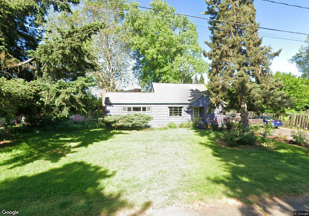
792 Cherry Ave Eugene, OR 97404
River Road NeighborhoodEstimated Value: $422,000 - $500,000
4
Beds
1
Bath
1,667
Sq Ft
$269/Sq Ft
Est. Value
About This Home
This home is located at 792 Cherry Ave, Eugene, OR 97404 and is currently estimated at $448,021, approximately $268 per square foot. 792 Cherry Ave is a home located in Lane County with nearby schools including River Road/El Camino del Río Elementary School, Kelly Middle School, and North Eugene High School.
Ownership History
Date
Name
Owned For
Owner Type
Purchase Details
Closed on
Apr 13, 2007
Sold by
Eaton Bobby L and Eaton Jacquie L
Bought by
Epperson Shawn R and Epperson Michelle L
Current Estimated Value
Home Financials for this Owner
Home Financials are based on the most recent Mortgage that was taken out on this home.
Original Mortgage
$197,200
Outstanding Balance
$133,814
Interest Rate
8.5%
Mortgage Type
Stand Alone First
Estimated Equity
$314,207
Create a Home Valuation Report for This Property
The Home Valuation Report is an in-depth analysis detailing your home's value as well as a comparison with similar homes in the area
Home Values in the Area
Average Home Value in this Area
Purchase History
| Date | Buyer | Sale Price | Title Company |
|---|---|---|---|
| Epperson Shawn R | $246,500 | Western Title & Escrow Compa |
Source: Public Records
Mortgage History
| Date | Status | Borrower | Loan Amount |
|---|---|---|---|
| Open | Epperson Shawn R | $197,200 |
Source: Public Records
Tax History
| Year | Tax Paid | Tax Assessment Tax Assessment Total Assessment is a certain percentage of the fair market value that is determined by local assessors to be the total taxable value of land and additions on the property. | Land | Improvement |
|---|---|---|---|---|
| 2025 | $3,604 | $214,539 | -- | -- |
| 2024 | $3,565 | $208,291 | -- | -- |
| 2023 | $3,565 | $202,225 | $0 | $0 |
| 2022 | $3,353 | $196,335 | $0 | $0 |
| 2021 | $3,118 | $190,617 | $0 | $0 |
| 2020 | $3,140 | $185,066 | $0 | $0 |
| 2019 | $3,030 | $179,676 | $0 | $0 |
| 2018 | $2,826 | $169,362 | $0 | $0 |
| 2017 | $2,722 | $169,362 | $0 | $0 |
| 2016 | $2,647 | $164,429 | $0 | $0 |
| 2015 | $2,519 | $159,640 | $0 | $0 |
| 2014 | $2,528 | $154,990 | $0 | $0 |
Source: Public Records
Map
Nearby Homes
- 780 Cherry Ave
- 734 Filbert Ave
- 820 Park Terrace
- 1035 Madera St
- 157 Hansen Ln
- 1633 Zoe Ave
- 1010 N Park Ave
- 1010 Horn Ln
- 1830 Milo Way
- 32 Marion Ln
- 1295 Betty Ln
- 1164 Veronica Ln
- 805 River Rd
- 0 River Rd Unit 634143722
- 630 Gilbert St
- 788 Cornwall Ave
- 882 Jackies Ln
- 3210 Royal Ave
- 1314 Dalton Dr
- 1360 Andersen Ln
Your Personal Tour Guide
Ask me questions while you tour the home.