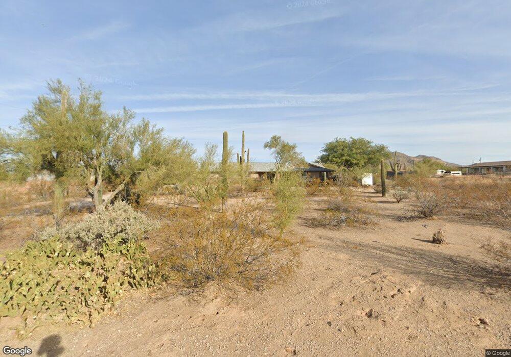
7926 E Mawson Rd Mesa, AZ 85207
Desert Uplands NeighborhoodEstimated Value: $930,000 - $1,228,000
Studio
2
Baths
3,262
Sq Ft
$317/Sq Ft
Est. Value
About This Home
This home is located at 7926 E Mawson Rd, Mesa, AZ 85207 and is currently estimated at $1,035,515, approximately $317 per square foot. 7926 E Mawson Rd is a home located in Maricopa County with nearby schools including Franklin at Brimhall Elementary School, Las Sendas Elementary School, and Franklin West Elementary School.
Ownership History
Date
Name
Owned For
Owner Type
Purchase Details
Closed on
Dec 18, 2025
Sold by
Taber Robert and Taber Nicki
Bought by
Taber Robert and Taber Nicki
Current Estimated Value
Purchase Details
Closed on
Apr 14, 2006
Sold by
Taber Robert and Taber Nicki
Bought by
Taber Robert and Taber Nicki
Home Financials for this Owner
Home Financials are based on the most recent Mortgage that was taken out on this home.
Original Mortgage
$277,000
Interest Rate
7.35%
Mortgage Type
Purchase Money Mortgage
Create a Home Valuation Report for This Property
The Home Valuation Report is an in-depth analysis detailing your home's value as well as a comparison with similar homes in the area
Home Values in the Area
Average Home Value in this Area
Purchase History
| Date | Buyer | Sale Price | Title Company |
|---|---|---|---|
| Taber Robert | -- | None Listed On Document | |
| Taber Robert | -- | Lsi Title Agency Inc |
Source: Public Records
Mortgage History
| Date | Status | Borrower | Loan Amount |
|---|---|---|---|
| Previous Owner | Taber Robert | $277,000 |
Source: Public Records
Tax History
| Year | Tax Paid | Tax Assessment Tax Assessment Total Assessment is a certain percentage of the fair market value that is determined by local assessors to be the total taxable value of land and additions on the property. | Land | Improvement |
|---|---|---|---|---|
| 2025 | $2,908 | $38,941 | -- | -- |
| 2024 | $2,966 | $37,086 | -- | -- |
| 2023 | $2,966 | $66,610 | $13,320 | $53,290 |
| 2022 | $2,890 | $50,360 | $10,070 | $40,290 |
| 2021 | $2,922 | $46,430 | $9,280 | $37,150 |
| 2020 | $2,469 | $36,230 | $7,240 | $28,990 |
| 2019 | $2,263 | $33,630 | $6,720 | $26,910 |
| 2018 | $2,200 | $30,720 | $6,140 | $24,580 |
| 2017 | $2,118 | $29,080 | $5,810 | $23,270 |
| 2016 | $2,074 | $28,180 | $5,630 | $22,550 |
| 2015 | $1,945 | $26,710 | $5,340 | $21,370 |
Source: Public Records
Map
Nearby Homes
- 7860 E Mawson Rd
- 7864 E Laurel St
- 7750 E Hermosa Vista Dr
- 7840 E Leland Cir
- 7841 E Mcdowell Rd
- 2234 N Gila Verde
- 7622 E Culver St
- 2442 N 76th St
- 8112 E Mcdowell Rd
- 2225 N 76th Place
- 8334 E Laurel Cir
- 7855 E Kenwood St
- 2099 N 77th Place
- 8322 E Kael St
- 8032 E June Cir
- 8042 E Palm Ln
- 2040 N Woodruff
- 7325 E Minton Cir
- 8146 E June St
- 8315 E Palm Ln
- 7910 E Mawson Rd
- 2523 N 79th St
- 2518 N 80th St
- 2508 N 80th St
- 7919 E Mawson Rd
- 7955 E Mawson Rd
- 2504 N 79th St
- 7909 E Culver St
- 7941 E Culver St
- 7959 E Culver St
- 7907 E Mawson Rd
- 2526 N 79th St
- 7851 E Mawson Rd
- 7850 E Mawson Rd
- 2549 N 80th St
- 2436 N 80th St
- 7914 E Hermosa Vista Dr
- 2559 N 80th St
- 7831 E Culver St
- 7831 E Mawson Rd
Your Personal Tour Guide
Ask me questions while you tour the home.