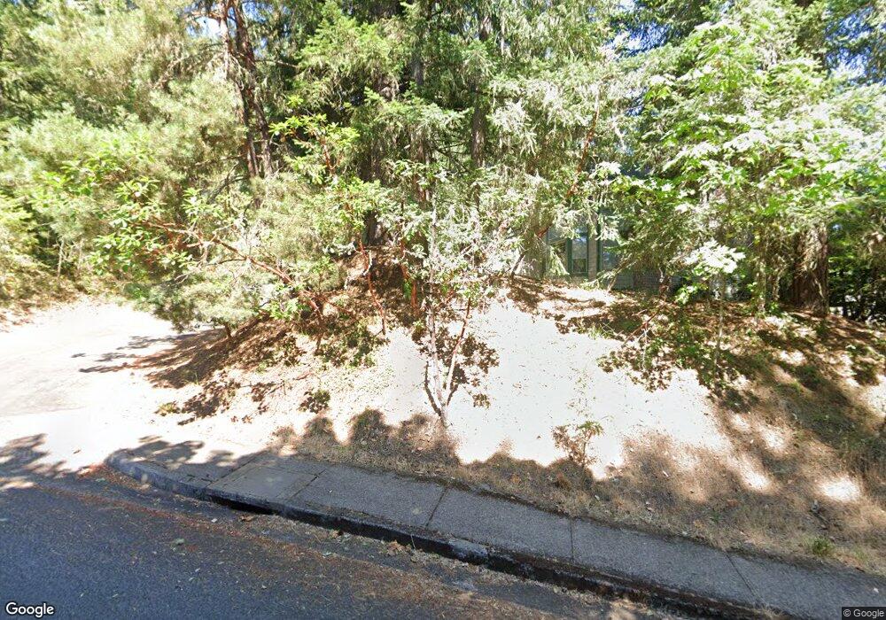
794 Brookside Dr Eugene, OR 97405
Crest Drive NeighborhoodEstimated Value: $489,834 - $590,000
3
Beds
3
Baths
1,088
Sq Ft
$501/Sq Ft
Est. Value
About This Home
This home is located at 794 Brookside Dr, Eugene, OR 97405 and is currently estimated at $545,459, approximately $501 per square foot. 794 Brookside Dr is a home located in Lane County with nearby schools including Edgewood Community Elementary School, Spencer Butte Middle School, and South Eugene High School.
Ownership History
Date
Name
Owned For
Owner Type
Purchase Details
Closed on
Nov 2, 1999
Sold by
Ginnold Kyoko Maed and Mcbean Kyoko Maeda
Bought by
Ceccanese Anthony B and Bruce Ceccanese Nancy
Current Estimated Value
Home Financials for this Owner
Home Financials are based on the most recent Mortgage that was taken out on this home.
Original Mortgage
$159,450
Outstanding Balance
$47,017
Interest Rate
7.75%
Estimated Equity
$498,442
Purchase Details
Closed on
Jun 2, 1998
Sold by
Ginnold Richard E
Bought by
Mcbean Kyoko Maeda
Create a Home Valuation Report for This Property
The Home Valuation Report is an in-depth analysis detailing your home's value as well as a comparison with similar homes in the area
Home Values in the Area
Average Home Value in this Area
Purchase History
| Date | Buyer | Sale Price | Title Company |
|---|---|---|---|
| Ceccanese Anthony B | $167,885 | Western Pioneer Title Co | |
| Mcbean Kyoko Maeda | -- | Western Pioneer Title Co |
Source: Public Records
Mortgage History
| Date | Status | Borrower | Loan Amount |
|---|---|---|---|
| Open | Ceccanese Anthony B | $159,450 |
Source: Public Records
Tax History
| Year | Tax Paid | Tax Assessment Tax Assessment Total Assessment is a certain percentage of the fair market value that is determined by local assessors to be the total taxable value of land and additions on the property. | Land | Improvement |
|---|---|---|---|---|
| 2025 | $5,510 | $282,816 | -- | -- |
| 2024 | $5,442 | $274,579 | -- | -- |
| 2023 | $5,442 | $266,582 | $0 | $0 |
| 2022 | $5,098 | $258,818 | $0 | $0 |
| 2021 | $4,788 | $251,280 | $0 | $0 |
| 2020 | $4,805 | $243,962 | $0 | $0 |
| 2019 | $4,641 | $236,857 | $0 | $0 |
| 2018 | $4,363 | $223,261 | $0 | $0 |
| 2017 | $4,098 | $223,261 | $0 | $0 |
| 2016 | $3,929 | $216,758 | $0 | $0 |
| 2015 | $3,814 | $210,445 | $0 | $0 |
| 2014 | $3,755 | $204,316 | $0 | $0 |
Source: Public Records
Map
Nearby Homes
- 0 Pine View Ct Unit 758820410
- 653 Brookside Dr
- 396 Brae Burn Dr
- 4344 Blanton Rd
- 4103 Brae Burn Dr
- 422 Stonewood Dr Unit 422
- 418 Stonewood Dr Unit 418
- 278 Rockridge Ct
- 806 Sundance St
- 223 Trailside Loop Unit 223
- 152 Treehill Loop Unit 152
- 143 Treehill Loop Unit 143
- 0 W 40th Ave Unit 3 545854116
- 0 W 40th Ave Unit 3 639571582
- 3854 Monroe St
- 5159 Solar Heights Dr
- 21 Westbrook Way
- 17 Westbrook Way
- 3820 Watkins Ln
- 195 Coachman Dr
- 796 Brookside Dr
- 784 Brookside Dr
- 798 Brookside Dr
- 750 Brookside Dr
- 740 Pine View Ct
- 786 Brookside Dr
- 782 Brookside Dr
- 752 Brookside Dr
- 750 Pine View Ct
- 790 Brookside Dr
- 747 Brookside Dr
- 803 Brookside Dr
- 780 Brookside Dr
- 743 Brookside Dr
- 710 Pine View Ct
- 754 Brookside Dr
- 0 Pine View Ct Unit 2015797
- 0 Pine View Ct Unit 14 24330546
- 0 Pine View Ct Unit 22611906
- 0 Pine View Ct Unit 21611127
