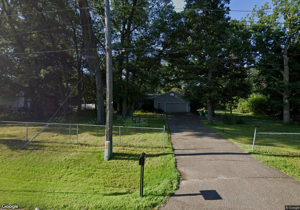
794 County Road D E Saint Paul, MN 55117
Estimated Value: $376,055 - $443,000
4
Beds
3
Baths
1,940
Sq Ft
$211/Sq Ft
Est. Value
About This Home
This home is located at 794 County Road D E, Saint Paul, MN 55117 and is currently estimated at $409,264, approximately $210 per square foot. 794 County Road D E is a home located in Ramsey County with nearby schools including Little Canada Elementary School, Roseville Area Middle School, and Roseville Area High School.
Ownership History
Date
Name
Owned For
Owner Type
Purchase Details
Closed on
Sep 11, 2025
Sold by
Liberty Lending Inc
Bought by
Wingspan Life Resources
Current Estimated Value
Purchase Details
Closed on
Aug 25, 2025
Sold by
Malark William and Malark Cynthia
Bought by
Liberty Lending Inc
Purchase Details
Closed on
Sep 6, 2019
Sold by
Loomis Amelia K
Bought by
Malark William and Malark Cynthia
Home Financials for this Owner
Home Financials are based on the most recent Mortgage that was taken out on this home.
Original Mortgage
$200,000
Interest Rate
3.6%
Mortgage Type
Commercial
Purchase Details
Closed on
Jun 11, 2014
Sold by
Marlowe Roger M and Marlowe Vicki R
Bought by
Trust Agreement Of Roger M Marlowe & Vic
Create a Home Valuation Report for This Property
The Home Valuation Report is an in-depth analysis detailing your home's value as well as a comparison with similar homes in the area
Home Values in the Area
Average Home Value in this Area
Purchase History
| Date | Buyer | Sale Price | Title Company |
|---|---|---|---|
| Wingspan Life Resources | $395,000 | Titlesmart | |
| Liberty Lending Inc | $485 | Titlesmart | |
| Malark William | $300,000 | None Available | |
| Trust Agreement Of Roger M Marlowe & Vic | -- | None Available |
Source: Public Records
Mortgage History
| Date | Status | Borrower | Loan Amount |
|---|---|---|---|
| Previous Owner | Malark William | $200,000 |
Source: Public Records
Tax History
| Year | Tax Paid | Tax Assessment Tax Assessment Total Assessment is a certain percentage of the fair market value that is determined by local assessors to be the total taxable value of land and additions on the property. | Land | Improvement |
|---|---|---|---|---|
| 2025 | $4,562 | $376,500 | $90,100 | $286,400 |
| 2023 | $4,562 | $354,700 | $90,100 | $264,600 |
| 2022 | $4,092 | $338,100 | $90,100 | $248,000 |
| 2021 | $3,768 | $295,400 | $90,100 | $205,300 |
| 2020 | $3,766 | $292,500 | $90,100 | $202,400 |
| 2019 | $3,562 | $282,700 | $90,100 | $192,600 |
| 2018 | $3,590 | $260,700 | $90,100 | $170,600 |
| 2017 | $3,318 | $256,100 | $90,100 | $166,000 |
| 2016 | $3,616 | $0 | $0 | $0 |
| 2015 | $3,288 | $265,400 | $90,100 | $175,300 |
| 2014 | $3,250 | $0 | $0 | $0 |
Source: Public Records
Map
Nearby Homes
- 831 Windrow Dr
- 3003 Greenbrier St
- 3222 Greenbrier St
- 842 Woodgate Dr Unit 211
- 3287 Arcade St S
- 3028 Edgerton St
- 696 Monn Ave
- 3230 Edgerton St
- 3268 Edgerton St
- 3282 Edgerton St Unit 3282
- 783 Berwood Ave
- 3092 Vanderbie St
- 3024 Basswood St
- 3022 Basswood St
- 3070 Cedar St
- 3015 Basswood St
- 3013 Basswood St
- 3084 Hemlock St
- 3085 Hemlock St
- 3083 Hemlock St
- 790 County Road D E
- 3107 Arcade St
- 3107 Arcade St
- 3091 Arcade St
- 3115 Arcade St
- 778 County Road D E
- 770 County Road D E
- 3055 Arcade St
- 3069 Arcade St
- 3080 Greenbrier St
- 777 County Road D E
- 3090 Arcade St
- 3120 Arcade St
- 3120 Arcade St
- 3076 Greenbrier St
- 3080 Arcade St
- 3110 Greenbrier St
- 3076 Arcade St
- 3110 3110 Greenbrier-Street-
- 3070 Greenbrier St
Your Personal Tour Guide
Ask me questions while you tour the home.