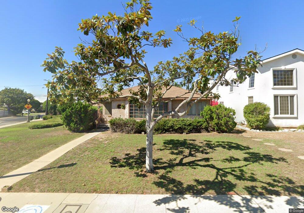
7943 Denrock Ave Los Angeles, CA 90045
Westchester NeighborhoodEstimated Value: $1,397,403 - $1,952,000
3
Beds
2
Baths
1,335
Sq Ft
$1,240/Sq Ft
Est. Value
About This Home
This home is located at 7943 Denrock Ave, Los Angeles, CA 90045 and is currently estimated at $1,655,101, approximately $1,239 per square foot. 7943 Denrock Ave is a home located in Los Angeles County with nearby schools including Cowan Avenue Elementary School, Wright Middle School STEAM Magnet, and Westchester Enriched Sciences Magnets.
Ownership History
Date
Name
Owned For
Owner Type
Purchase Details
Closed on
Jan 15, 2019
Sold by
Sheinberg Robert and Sheinberg Lisa Beth
Bought by
7943 Denrock Llc
Current Estimated Value
Purchase Details
Closed on
Jan 26, 2004
Sold by
Sheinberg Robert
Bought by
Sheinberg Robert
Purchase Details
Closed on
Jan 22, 2004
Sold by
Sheinberg Richard and Sheinberg Robert
Bought by
Sheinberg Robert
Purchase Details
Closed on
Sep 23, 1995
Sold by
Sheinberg Vivian and Sheinberg Trust
Bought by
Sheinberg Vivian and Sheinberg Trust
Create a Home Valuation Report for This Property
The Home Valuation Report is an in-depth analysis detailing your home's value as well as a comparison with similar homes in the area
Home Values in the Area
Average Home Value in this Area
Purchase History
| Date | Buyer | Sale Price | Title Company |
|---|---|---|---|
| 7943 Denrock Llc | -- | None Available | |
| Sheinberg Robert | -- | -- | |
| Sheinberg Robert | -- | -- | |
| Sheinberg Vivian | -- | -- |
Source: Public Records
Tax History Compared to Growth
Tax History
| Year | Tax Paid | Tax Assessment Tax Assessment Total Assessment is a certain percentage of the fair market value that is determined by local assessors to be the total taxable value of land and additions on the property. | Land | Improvement |
|---|---|---|---|---|
| 2025 | $1,872 | $117,865 | $82,837 | $35,028 |
| 2024 | $1,872 | $115,555 | $81,213 | $34,342 |
| 2023 | $1,848 | $113,290 | $79,621 | $33,669 |
| 2022 | $1,783 | $111,069 | $78,060 | $33,009 |
| 2021 | $1,673 | $108,892 | $76,530 | $32,362 |
| 2019 | $1,632 | $105,664 | $74,261 | $31,403 |
| 2018 | $1,578 | $103,593 | $72,805 | $30,788 |
| 2016 | $1,507 | $99,573 | $69,979 | $29,594 |
| 2015 | $1,489 | $98,078 | $68,928 | $29,150 |
| 2014 | $1,505 | $96,157 | $67,578 | $28,579 |
Source: Public Records
Map
Nearby Homes
- 7833 Denrock Ave
- 8015 Dunbarton Ave
- 8000 Westlawn Ave
- 7920 Anise Ave Unit 1
- 7831 Beland Ave
- 6606 W 80th Place
- 7841 Stewart Ave
- 8044 Cowan Ave
- 7733 Henefer Ave
- 7501 Agnew Ave
- 8056 Kentwood Ave
- 8008 El Manor Ave
- 8004 El Manor Ave
- 7809 Mcconnell Ave
- 7456 Denrock Ave
- 8353 Dunbarton Ave
- 8333 Chase Ave
- 6537 W 84th Place
- 8363 Stewart Ave
- 7403 Stewart Ave
- 7939 Denrock Ave
- 7942 Agnew Ave
- 7938 Agnew Ave
- 7933 Denrock Ave
- 7948 Agnew Ave
- 7932 Agnew Ave
- 8001 Denrock Ave
- 7927 Denrock Ave
- 7936 Denrock Ave
- 8000 Denrock Ave
- 7926 Agnew Ave
- 7930 Denrock Ave
- 8005 Denrock Ave
- 8004 Denrock Ave
- 7923 Denrock Ave
- 6650 W 80th St
- 7922 Agnew Ave
- 7926 Denrock Ave
- 8008 Denrock Ave
- 7947 Agnew Ave