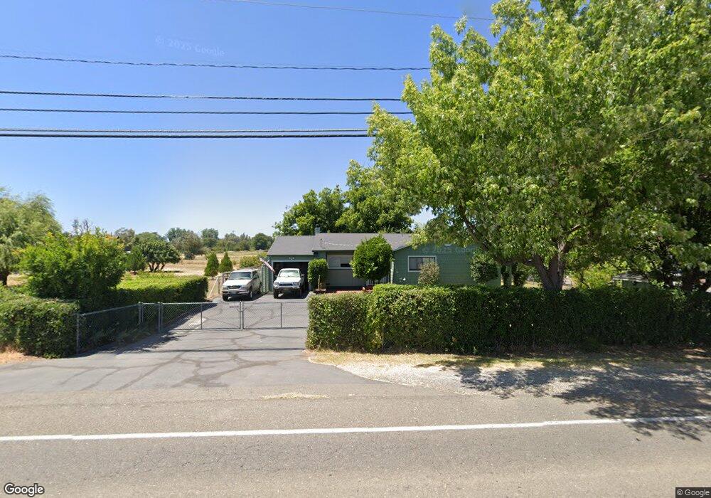
7952 Churn Creek Rd Redding, CA 96002
Estimated Value: $301,928 - $400,000
3
Beds
2
Baths
1,160
Sq Ft
$304/Sq Ft
Est. Value
About This Home
This home is located at 7952 Churn Creek Rd, Redding, CA 96002 and is currently estimated at $352,982, approximately $304 per square foot. 7952 Churn Creek Rd is a home located in Shasta County with nearby schools including Prairie Elementary School, Pacheco Elementary School, and Redding Collegiate Academy.
Ownership History
Date
Name
Owned For
Owner Type
Purchase Details
Closed on
Nov 19, 2003
Sold by
Brown William D and Odell Brown L
Bought by
Saffen Diane E
Current Estimated Value
Purchase Details
Closed on
Oct 9, 2002
Sold by
Brown W David and Brown Odell
Bought by
Brown William D and Odell Brown L
Create a Home Valuation Report for This Property
The Home Valuation Report is an in-depth analysis detailing your home's value as well as a comparison with similar homes in the area
Home Values in the Area
Average Home Value in this Area
Purchase History
| Date | Buyer | Sale Price | Title Company |
|---|---|---|---|
| Saffen Diane E | $149,500 | First American Title Co | |
| Brown William D | -- | -- |
Source: Public Records
Tax History Compared to Growth
Tax History
| Year | Tax Paid | Tax Assessment Tax Assessment Total Assessment is a certain percentage of the fair market value that is determined by local assessors to be the total taxable value of land and additions on the property. | Land | Improvement |
|---|---|---|---|---|
| 2025 | $2,178 | $212,537 | $54,018 | $158,519 |
| 2024 | $2,133 | $208,370 | $52,959 | $155,411 |
| 2023 | $2,133 | $204,285 | $51,921 | $152,364 |
| 2022 | $2,078 | $200,280 | $50,903 | $149,377 |
| 2021 | $2,044 | $196,354 | $49,905 | $146,449 |
| 2020 | $1,814 | $175,000 | $40,000 | $135,000 |
| 2019 | $1,826 | $175,000 | $40,000 | $135,000 |
| 2018 | $1,632 | $160,000 | $40,000 | $120,000 |
| 2017 | $1,688 | $160,000 | $40,000 | $120,000 |
| 2016 | $1,523 | $150,000 | $40,000 | $110,000 |
| 2015 | $1,281 | $125,000 | $40,000 | $85,000 |
| 2014 | $1,131 | $110,000 | $35,000 | $75,000 |
Source: Public Records
Map
Nearby Homes
- 19577 Medo Vale Ln
- 8198 Green Acres Ln
- 7605 Churn Creek Rd
- 2575 Uphill Ave
- 2561 Uphill Ave
- 2478 Uphill Ave
- 2532 Crimson Ct
- 5377 Turwar St
- 5355 Turwar St
- 5283 Turwar St
- 2429 Seiad St
- 5118 Merced St
- 5106 Merced St
- 5184 Merced St
- 5172 Merced St
- 5179 Merced St
- 5198 Merced St
- 5146 Surrey Dr
- 2571 Seiad St
- Plan 1825 at Shastina Ranch - Lilac
- 7918 Churn Creek Rd
- 8057 Churn Creek Rd
- 8019 Churn Creek Rd Unit 1
- 19510 Medo Vale Ln
- 0 Mockingbird Ln
- 7898 Churn Creek Rd
- 19530 Medo Vale Ln
- 19538 Medo Vale Ln
- 19509 Medo Vale Ln
- 19517 Medo Vale Ln
- 19550 Medo Vale Ln
- 19529 Medo Vale Ln
- 7890 Churn Creek Rd
- 19397 Smith Rd
- 19537 Medo Vale Ln
- 5745 Green Acres Dr W
- 19550 Mockingbird Ln
- 19575 Mockingbird Ln
- 19556 Medo Vale Ln
- 19549 Medo Vale Ln