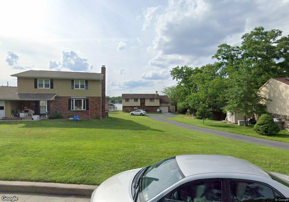
7956 Shore Rd Sparrows Point, MD 21219
Estimated Value: $384,000 - $533,000
Studio
2
Baths
1,028
Sq Ft
$444/Sq Ft
Est. Value
About This Home
This home is located at 7956 Shore Rd, Sparrows Point, MD 21219 and is currently estimated at $456,894, approximately $444 per square foot. 7956 Shore Rd is a home located in Baltimore County with nearby schools including Chesapeake Terrace Elementary School, Sparrows Point Middle School, and Sparrows Point High School.
Ownership History
Date
Name
Owned For
Owner Type
Purchase Details
Closed on
Mar 23, 2022
Sold by
Robert D Grammer Living Trust
Bought by
Roberts Steven Donald and Lastner Audrey
Current Estimated Value
Home Financials for this Owner
Home Financials are based on the most recent Mortgage that was taken out on this home.
Original Mortgage
$357,000
Outstanding Balance
$334,442
Interest Rate
4.16%
Mortgage Type
New Conventional
Estimated Equity
$122,452
Purchase Details
Closed on
Dec 20, 2005
Sold by
Grammer Robert D
Bought by
Grammer Robert D
Purchase Details
Closed on
Oct 11, 1979
Sold by
Elstann Realty & Development Co
Bought by
Grammer Robert D
Create a Home Valuation Report for This Property
The Home Valuation Report is an in-depth analysis detailing your home's value as well as a comparison with similar homes in the area
Home Values in the Area
Average Home Value in this Area
Purchase History
| Date | Buyer | Sale Price | Title Company |
|---|---|---|---|
| Roberts Steven Donald | $420,000 | Rubenstein Millard S | |
| Roberts Steven Donald | $420,000 | None Listed On Document | |
| Grammer Robert D | -- | -- | |
| Grammer Robert D | $68,300 | -- |
Source: Public Records
Mortgage History
| Date | Status | Borrower | Loan Amount |
|---|---|---|---|
| Open | Roberts Steven Donald | $357,000 | |
| Closed | Roberts Steven Donald | $357,000 |
Source: Public Records
Tax History
| Year | Tax Paid | Tax Assessment Tax Assessment Total Assessment is a certain percentage of the fair market value that is determined by local assessors to be the total taxable value of land and additions on the property. | Land | Improvement |
|---|---|---|---|---|
| 2025 | $4,366 | $370,667 | -- | -- |
| 2024 | $4,366 | $336,033 | $0 | $0 |
| 2023 | $2,101 | $301,400 | $160,300 | $141,100 |
| 2022 | $4,051 | $294,133 | $0 | $0 |
| 2021 | $4,087 | $286,867 | $0 | $0 |
| 2020 | $3,389 | $279,600 | $160,300 | $119,300 |
| 2019 | $3,370 | $278,067 | $0 | $0 |
| 2018 | $3,849 | $276,533 | $0 | $0 |
| 2017 | $4,162 | $275,000 | $0 | $0 |
| 2016 | $3,214 | $275,000 | $0 | $0 |
| 2015 | $3,214 | $275,000 | $0 | $0 |
| 2014 | $3,214 | $277,200 | $0 | $0 |
Source: Public Records
Map
Nearby Homes
- 2122 Lodge Forest Dr
- 2409 Woodridge Rd
- 7428 Bay Front Rd
- 2417 Lodge Farm Rd
- 0 Lodge Farm Rd
- 2400 Lincoln Ave Unit 2
- 7349 Hughes Ave
- 2318 Ruth Ave
- 7316A Hughes Ave
- 2636 Haddaway Rd
- 2904 Shaws Rd
- 2906 Shaws Rd
- 2524 Sycamore Ave
- 7227 Waldman Ave
- 2519 Sycamore Ave
- 2707 Sparrows Point Rd
- 3044 Shaws Rd
- 2513 Wagner Ave
- 6909 N Point Rd
- 6807 N Point Rd
Your Personal Tour Guide
Ask me questions while you tour the home.