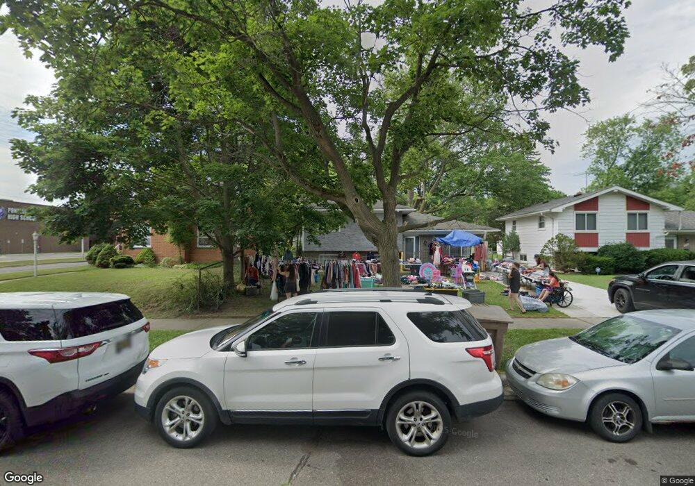
796 2nd Ave Pontiac, MI 48340
Estimated Value: $163,000 - $186,000
3
Beds
2
Baths
1,289
Sq Ft
$139/Sq Ft
Est. Value
About This Home
This home is located at 796 2nd Ave, Pontiac, MI 48340 and is currently estimated at $178,537, approximately $138 per square foot. 796 2nd Ave is a home located in Oakland County with nearby schools including Rogers Elementary, Pontiac Middle School, and Pontiac High School.
Ownership History
Date
Name
Owned For
Owner Type
Purchase Details
Closed on
Jan 25, 2019
Sold by
Castaneda Gloria and Solis Gloria
Bought by
Hemandez Brandon
Current Estimated Value
Purchase Details
Closed on
Sep 22, 2009
Sold by
Hocking Beth
Bought by
Federal Home Loan Mortgage Corp
Purchase Details
Closed on
Apr 6, 2007
Sold by
Hocking Beth
Bought by
Hocking Beth
Home Financials for this Owner
Home Financials are based on the most recent Mortgage that was taken out on this home.
Original Mortgage
$79,000
Interest Rate
6.19%
Mortgage Type
New Conventional
Create a Home Valuation Report for This Property
The Home Valuation Report is an in-depth analysis detailing your home's value as well as a comparison with similar homes in the area
Home Values in the Area
Average Home Value in this Area
Purchase History
| Date | Buyer | Sale Price | Title Company |
|---|---|---|---|
| Hemandez Brandon | $15,000 | None Available | |
| Federal Home Loan Mortgage Corp | $85,531 | None Available | |
| Hocking Beth | -- | Title Source Inc | |
| Hocking Beth | -- | Title Source Inc |
Source: Public Records
Mortgage History
| Date | Status | Borrower | Loan Amount |
|---|---|---|---|
| Previous Owner | Hocking Beth | $79,000 |
Source: Public Records
Tax History Compared to Growth
Tax History
| Year | Tax Paid | Tax Assessment Tax Assessment Total Assessment is a certain percentage of the fair market value that is determined by local assessors to be the total taxable value of land and additions on the property. | Land | Improvement |
|---|---|---|---|---|
| 2024 | $1,522 | $56,000 | $0 | $0 |
| 2023 | $1,451 | $49,950 | $0 | $0 |
| 2022 | $2,088 | $43,990 | $0 | $0 |
| 2021 | $2,090 | $38,850 | $0 | $0 |
| 2020 | $1,970 | $35,880 | $0 | $0 |
| 2019 | $688 | $31,170 | $0 | $0 |
| 2018 | $657 | $26,410 | $0 | $0 |
| 2017 | $625 | $25,470 | $0 | $0 |
| 2016 | $652 | $22,420 | $0 | $0 |
| 2015 | -- | $19,300 | $0 | $0 |
| 2014 | -- | $16,660 | $0 | $0 |
| 2011 | -- | $25,580 | $0 | $0 |
Source: Public Records
Map
Nearby Homes
- 731 1st Ave
- 778 4th Ave
- 720 E Columbia Ave
- 686 4th Ave
- 675 E Beverly Ave
- 794 Clara Ave
- 683 Clara Ave
- 686 Peacock Ave
- 614 E Tennyson Ave
- 630 E Madison Ave
- 1218 Galloway Cir
- 1336 Ridgeway Blvd
- 973 Kettering Ave
- 627 Wesbrook St
- 1340 Hawkcrest Ln Unit 119
- 1328 Ridgeway Blvd Unit 32
- 663 Lenox Ave
- 821 Robinwood St
- 1302 Galloway Cir Unit 64
- 620 Wesbrook St