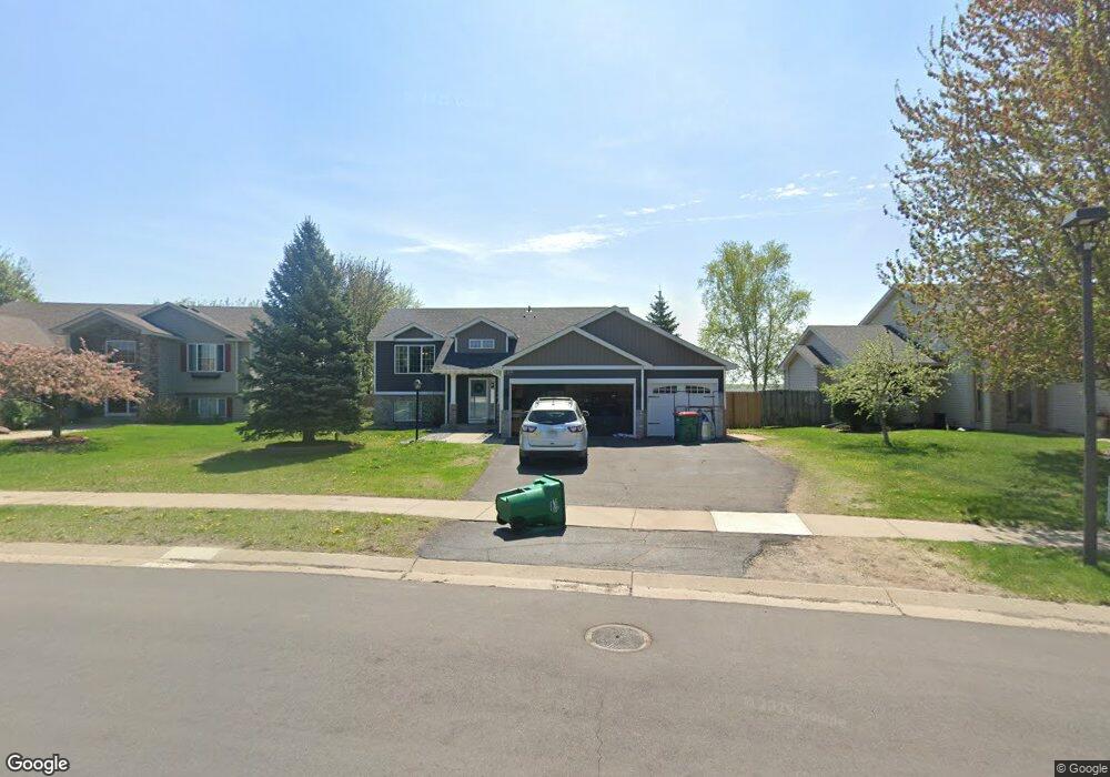
796 Harrison Dr Big Lake, MN 55309
Estimated Value: $333,281 - $352,000
3
Beds
2
Baths
1,237
Sq Ft
$278/Sq Ft
Est. Value
About This Home
This home is located at 796 Harrison Dr, Big Lake, MN 55309 and is currently estimated at $343,570, approximately $277 per square foot. 796 Harrison Dr is a home located in Sherburne County with nearby schools including Liberty Elementary School, Independence Elementary School, and Big Lake Middle School.
Ownership History
Date
Name
Owned For
Owner Type
Purchase Details
Closed on
Dec 5, 2019
Sold by
Olson Daniel and Olson Arianne R
Bought by
Olson Daniel and Olson Arianne R
Current Estimated Value
Purchase Details
Closed on
Jun 4, 2013
Sold by
Dahlen David W and Dahlen Carol L
Bought by
Olson Daniel
Home Financials for this Owner
Home Financials are based on the most recent Mortgage that was taken out on this home.
Original Mortgage
$140,816
Interest Rate
3.34%
Mortgage Type
New Conventional
Purchase Details
Closed on
Aug 12, 2004
Sold by
Crestridge Homes Inc
Bought by
Gomez Andrew J and Gomez Tracy L
Purchase Details
Closed on
Apr 30, 2004
Sold by
Pond View Ridge Llc
Bought by
Crest Ridge Homes Inc
Purchase Details
Closed on
Mar 30, 2004
Sold by
Pond View Ridge Llc
Bought by
Crestridge Homes Inc
Create a Home Valuation Report for This Property
The Home Valuation Report is an in-depth analysis detailing your home's value as well as a comparison with similar homes in the area
Home Values in the Area
Average Home Value in this Area
Purchase History
| Date | Buyer | Sale Price | Title Company |
|---|---|---|---|
| Olson Daniel | -- | North Title | |
| Olson Daniel | $138,000 | Sherburne County Abstract & | |
| Gomez Andrew J | $191,935 | -- | |
| Crest Ridge Homes Inc | $42,900 | -- | |
| Crestridge Homes Inc | $42,900 | -- |
Source: Public Records
Mortgage History
| Date | Status | Borrower | Loan Amount |
|---|---|---|---|
| Previous Owner | Olson Daniel | $140,816 |
Source: Public Records
Tax History
| Year | Tax Paid | Tax Assessment Tax Assessment Total Assessment is a certain percentage of the fair market value that is determined by local assessors to be the total taxable value of land and additions on the property. | Land | Improvement |
|---|---|---|---|---|
| 2025 | $3,868 | $315,700 | $75,900 | $239,800 |
| 2024 | $3,618 | $307,200 | $75,900 | $231,300 |
| 2023 | $3,590 | $305,100 | $81,300 | $223,800 |
| 2022 | $3,320 | $292,700 | $68,900 | $223,800 |
| 2020 | $3,156 | $228,100 | $41,200 | $186,900 |
| 2019 | $2,912 | $214,800 | $36,500 | $178,300 |
| 2018 | $2,688 | $197,700 | $33,500 | $164,200 |
| 2017 | $2,496 | $178,100 | $30,600 | $147,500 |
| 2016 | $2,452 | $162,300 | $27,400 | $134,900 |
| 2015 | $2,248 | $138,100 | $24,500 | $113,600 |
| 2014 | $2,050 | $133,600 | $25,900 | $107,700 |
| 2013 | -- | $115,600 | $24,800 | $90,800 |
Source: Public Records
Map
Nearby Homes
- 722 Independence Dr NW
- 705 Independence Dr NW
- 637 Norwood Ln
- 480 Lake St S
- 464 Ormsbee St
- 19041 Gunter Way
- 566 Marcia Dr
- 19235 Engle Wood Dr
- 541 William St
- 19400 Karen Ln
- 365 Karen Ln
- 220 Euclid Ave
- 702 Susan St
- 20050 County Road 81 NW
- 23xxx 182nd St NW
- 20311 Gordon Ln
- 19348 180th Ave NW
- 19887 182nd Ave NW
- 18931 180th Ave NW
- 591 Glenwood Ave
- 800 Harrison Dr
- 792 Harrison Dr
- 804 Harrison Dr
- 788 Harrison Dr
- 791 Harrison Dr
- 808 Harrison Dr
- 784 Harrison Dr
- 795 Harrison Dr
- 799 Harrison Dr
- 783 Harrison Dr
- 780 Harrison Dr
- 803 Harrison Dr
- 779 Harrison Dr
- 807 Harrison Dr
- 812 Harrison Dr
- 776 Harrison Dr
- 766 Independence Dr NW
- 762 Independence Dr NW
- 770 Independence Dr NW
- 758 Independence Dr NW
Your Personal Tour Guide
Ask me questions while you tour the home.