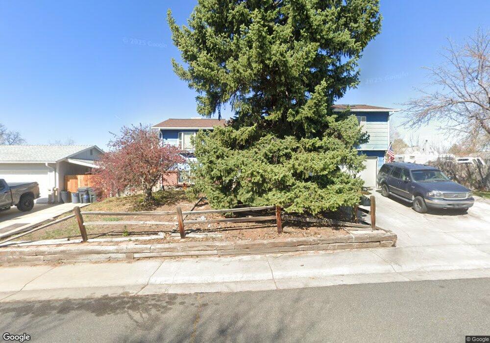
7963 Depew St Arvada, CO 80003
Westdale NeighborhoodEstimated Value: $533,358 - $606,000
4
Beds
2
Baths
2,044
Sq Ft
$276/Sq Ft
Est. Value
About This Home
This home is located at 7963 Depew St, Arvada, CO 80003 and is currently estimated at $564,840, approximately $276 per square foot. 7963 Depew St is a home located in Jefferson County with nearby schools including Swanson Elementary School, Chester W. Nimitz Middle School, and North Arvada Middle School.
Ownership History
Date
Name
Owned For
Owner Type
Purchase Details
Closed on
May 21, 2010
Sold by
Mitchell Larry Gene and Mitchell Linda Dawn
Bought by
Helmers Mary and Helmers Terry
Current Estimated Value
Home Financials for this Owner
Home Financials are based on the most recent Mortgage that was taken out on this home.
Original Mortgage
$196,831
Outstanding Balance
$130,759
Interest Rate
4.87%
Mortgage Type
FHA
Estimated Equity
$434,081
Create a Home Valuation Report for This Property
The Home Valuation Report is an in-depth analysis detailing your home's value as well as a comparison with similar homes in the area
Home Values in the Area
Average Home Value in this Area
Purchase History
| Date | Buyer | Sale Price | Title Company |
|---|---|---|---|
| Helmers Mary | $199,500 | Land Title Guarantee Company |
Source: Public Records
Mortgage History
| Date | Status | Borrower | Loan Amount |
|---|---|---|---|
| Open | Helmers Mary | $196,831 |
Source: Public Records
Tax History Compared to Growth
Tax History
| Year | Tax Paid | Tax Assessment Tax Assessment Total Assessment is a certain percentage of the fair market value that is determined by local assessors to be the total taxable value of land and additions on the property. | Land | Improvement |
|---|---|---|---|---|
| 2024 | $3,414 | $35,196 | $10,293 | $24,903 |
| 2023 | $3,414 | $35,196 | $10,293 | $24,903 |
| 2022 | $2,683 | $27,393 | $8,746 | $18,647 |
| 2021 | $2,727 | $28,181 | $8,998 | $19,183 |
| 2020 | $2,613 | $27,074 | $9,178 | $17,896 |
| 2019 | $2,577 | $27,074 | $9,178 | $17,896 |
| 2018 | $2,241 | $22,886 | $6,425 | $16,461 |
| 2017 | $2,051 | $22,886 | $6,425 | $16,461 |
| 2016 | $2,044 | $21,480 | $5,910 | $15,570 |
| 2015 | $1,664 | $21,480 | $5,910 | $15,570 |
| 2014 | $1,664 | $16,434 | $5,895 | $10,539 |
Source: Public Records
Map
Nearby Homes
- 7984 Chase Cir Unit 68
- 7973 Chase Cir Unit 56
- 5620 W 80th Place Unit 67
- 7977 Chase Cir Unit 47
- 5550 W 80th Place Unit 12
- 5550 W 80th Place Unit 23
- 5690 W 80th Place Unit 98
- 7980 Chase Cir Unit F
- 7915 Chase Cir Unit 153
- 7917 Chase Cir Unit 160
- 7974 Chase Cir Unit 77
- 5790 W 79th Ave
- 7958 Harlan St
- 5803 Pomona Dr
- 5743 W 76th Dr
- 7680 Depew St Unit 1424
- 8227 Depew Way
- 6161 W 77th Place
- 7656 Depew St Unit 1802
- 5423 W 76th Ave Unit 503
- 7957 Depew St
- 7966 Eaton St
- 7960 Eaton St
- 7966 Depew St
- 7951 Depew St
- 5629 W 79th Place
- 5659 W 79th Place
- 7960 Depew St
- 7954 Eaton St
- 7972 Depew St
- 5689 W 79th Place
- 7954 Depew St
- 5601 W 79th Place
- 5730 W 79th Ave
- 7945 Depew St
- 7945 Depew St Unit SR
- 7963 Eaton St
- 5719 W 79th Place
- 7942 Eaton St
- 7957 Eaton St