7972 Highway 49 E Springfield, TN 37172
Estimated Value: $350,000 - $488,000
Studio
2
Baths
1,696
Sq Ft
$240/Sq Ft
Est. Value
About This Home
This home is located at 7972 Highway 49 E, Springfield, TN 37172 and is currently estimated at $406,998, approximately $239 per square foot. 7972 Highway 49 E is a home located in Robertson County with nearby schools including East Robertson Elementary School and East Robertson High School.
Ownership History
Date
Name
Owned For
Owner Type
Purchase Details
Closed on
Jun 14, 2022
Sold by
Simmons Jr Thomas O
Bought by
Converse Jerome M
Current Estimated Value
Purchase Details
Closed on
Apr 16, 2012
Sold by
Harlow Lois E
Bought by
Simmons Thomas O Suzan
Home Financials for this Owner
Home Financials are based on the most recent Mortgage that was taken out on this home.
Original Mortgage
$98,000
Interest Rate
4.01%
Mortgage Type
Commercial
Purchase Details
Closed on
Aug 15, 2003
Sold by
Aucker John R and Aucker Cynthia L
Bought by
Robert Aucker John
Home Financials for this Owner
Home Financials are based on the most recent Mortgage that was taken out on this home.
Original Mortgage
$83,000
Interest Rate
5.17%
Purchase Details
Closed on
Feb 22, 1991
Bought by
Aucker John R and Aucker Cynthia L
Create a Home Valuation Report for This Property
The Home Valuation Report is an in-depth analysis detailing your home's value as well as a comparison with similar homes in the area
Home Values in the Area
Average Home Value in this Area
Purchase History
| Date | Buyer | Sale Price | Title Company |
|---|---|---|---|
| Converse Jerome M | -- | None Listed On Document | |
| Simmons Thomas O Suzan | -- | -- | |
| Robert Aucker John | -- | -- | |
| Aucker John R | $91,000 | -- |
Source: Public Records
Mortgage History
| Date | Status | Borrower | Loan Amount |
|---|---|---|---|
| Previous Owner | Simmons Thomas O Suzan | $98,000 | |
| Previous Owner | Aucker John R | $83,000 |
Source: Public Records
Tax History
| Year | Tax Paid | Tax Assessment Tax Assessment Total Assessment is a certain percentage of the fair market value that is determined by local assessors to be the total taxable value of land and additions on the property. | Land | Improvement |
|---|---|---|---|---|
| 2025 | $1,383 | $76,825 | $38,200 | $38,625 |
| 2024 | $1,383 | $76,825 | $38,200 | $38,625 |
| 2023 | $1,383 | $76,825 | $38,200 | $38,625 |
| 2022 | $927 | $35,975 | $14,075 | $21,900 |
| 2021 | $927 | $35,975 | $14,075 | $21,900 |
| 2020 | $927 | $35,975 | $14,075 | $21,900 |
| 2019 | $927 | $35,975 | $14,075 | $21,900 |
| 2018 | $927 | $35,975 | $14,075 | $21,900 |
| 2017 | $975 | $31,600 | $11,050 | $20,550 |
| 2016 | $975 | $31,600 | $11,050 | $20,550 |
| 2015 | $935 | $31,600 | $11,050 | $20,550 |
| 2014 | $935 | $31,600 | $11,050 | $20,550 |
Source: Public Records
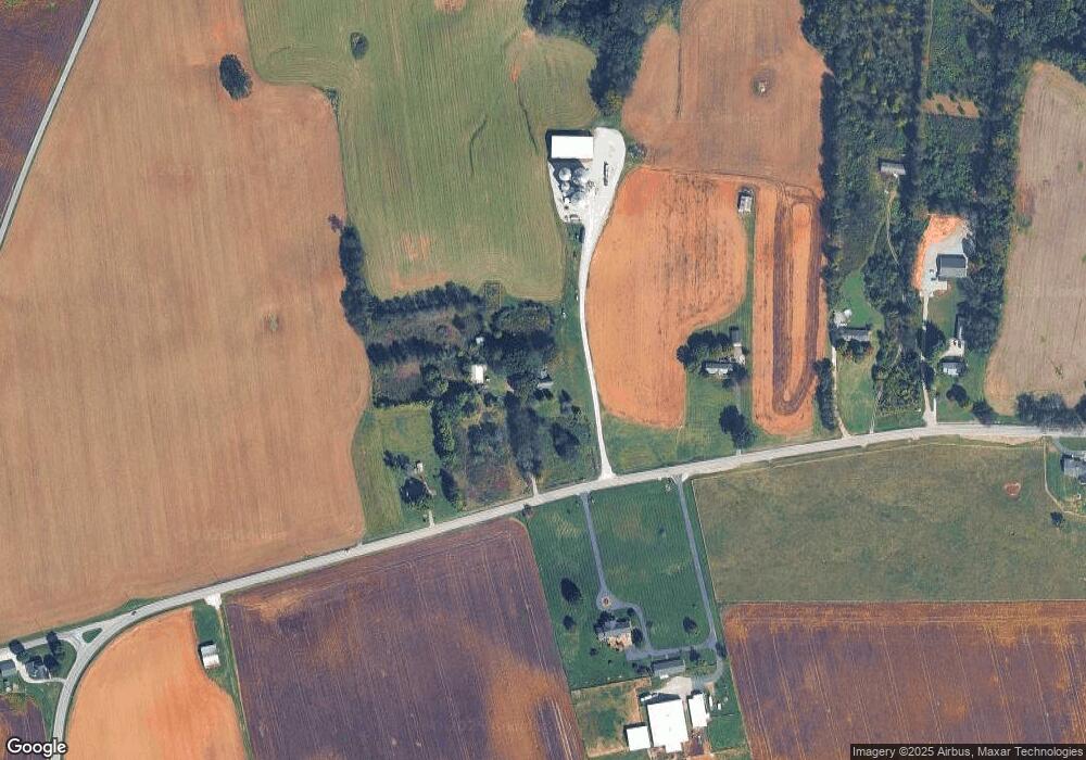
Map
Nearby Homes
- 6437 Hopewell Rd
- 7518 Highway 49 E
- 0 Pinson Rd
- 29640 Highway 49 E
- 0 Charles Dorris Rd
- 5031 Homer Worsham Rd
- 5969 S Lamont Rd
- 6348 S Lamont Rd
- 6056 S Lamont Rd
- 0 Homer Worsham Rd
- 3068 Chance Ct
- 4616 Woodrow Wilson Rd
- 7265 Bob Carr Rd
- 5918 Lakeview Rd
- 29490 Highway 49 E
- 1115 W Church St
- 5654 Borthick Rd
- 5867 Borthick Rd
- 5730 Lakeview Rd
- 5558 Borthick Rd
- 7956 Highway 49 E
- 8012 Highway 49 E
- 8006 Highway 49 E
- 8006 Highway 49 E
- 8006 Highway 49 E
- 8028 Highway 49 E
- 8034 Highway 49 E
- 8040 Highway 49 E
- 0 Belt Rd
- 8055 Highway 49 E
- 7914 Highway 49 E
- 5377 Belt Rd
- 7851 Highway 49 E
- 7851 Highway 49 E
- 8157 Highway 49 E
- 8147 Highway 49 E
- 6020 Henry Rd
- 6411 Ralph Fisher Rd
- 7751 Highway 49 E
- 22115 Highway 49 E
Your Personal Tour Guide
Ask me questions while you tour the home.