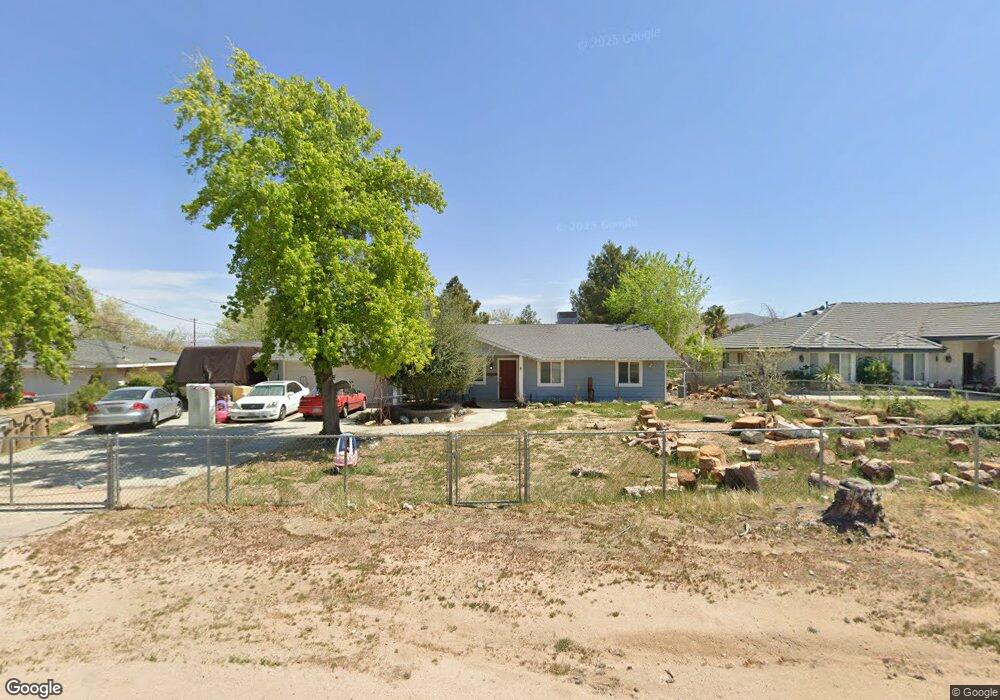
7977 Sherborn Ave Hesperia, CA 92345
The Mesa NeighborhoodEstimated Value: $413,206 - $506,000
3
Beds
2
Baths
1,256
Sq Ft
$352/Sq Ft
Est. Value
About This Home
This home is located at 7977 Sherborn Ave, Hesperia, CA 92345 and is currently estimated at $441,552, approximately $351 per square foot. 7977 Sherborn Ave is a home located in San Bernardino County with nearby schools including Kingston Elementary School, Ranchero Middle School, and Sultana High School.
Ownership History
Date
Name
Owned For
Owner Type
Purchase Details
Closed on
Aug 4, 2016
Sold by
Harrington Laron Duane
Bought by
Boyd Douglas Richard and Boyd Tamny Jeannette
Current Estimated Value
Home Financials for this Owner
Home Financials are based on the most recent Mortgage that was taken out on this home.
Original Mortgage
$211,765
Interest Rate
3.45%
Mortgage Type
VA
Create a Home Valuation Report for This Property
The Home Valuation Report is an in-depth analysis detailing your home's value as well as a comparison with similar homes in the area
Home Values in the Area
Average Home Value in this Area
Purchase History
| Date | Buyer | Sale Price | Title Company |
|---|---|---|---|
| Boyd Douglas Richard | $205,000 | Stewart Title Of Ca Inc |
Source: Public Records
Mortgage History
| Date | Status | Borrower | Loan Amount |
|---|---|---|---|
| Previous Owner | Boyd Douglas Richard | $211,765 |
Source: Public Records
Tax History
| Year | Tax Paid | Tax Assessment Tax Assessment Total Assessment is a certain percentage of the fair market value that is determined by local assessors to be the total taxable value of land and additions on the property. | Land | Improvement |
|---|---|---|---|---|
| 2025 | $2,674 | $237,921 | $47,584 | $190,337 |
| 2024 | $2,614 | $233,256 | $46,651 | $186,605 |
| 2023 | $2,586 | $228,682 | $45,736 | $182,946 |
| 2022 | $2,526 | $224,198 | $44,839 | $179,359 |
| 2021 | $2,481 | $219,802 | $43,960 | $175,842 |
| 2020 | $2,451 | $217,548 | $43,509 | $174,039 |
| 2019 | $2,401 | $213,282 | $42,656 | $170,626 |
| 2018 | $2,355 | $209,100 | $41,820 | $167,280 |
| 2017 | $2,314 | $205,000 | $41,000 | $164,000 |
| 2016 | $1,434 | $124,442 | $31,071 | $93,371 |
| 2015 | $1,416 | $122,572 | $30,604 | $91,968 |
| 2014 | $1,397 | $120,171 | $30,005 | $90,166 |
Source: Public Records
Map
Nearby Homes
- 8178 Kingston Ave
- 17995 Seaforth St
- 7864 Newhall Ave
- 17528 Danbury Ave
- 17412 Danbury Ave
- 7821 Lyons Ave
- 0 Paisley Ave
- 7653 Montrose Ave
- 7721 Langdon Ave
- 0 Oxford Ave Unit HD25072687
- 17594 Bangor Ave
- 17405 Adobe St
- 7762 Madera Ave
- 18110 Fairburn St
- 7605 Langdon Ave
- 18126 Fairburn St
- 16 Bangor Ave
- 18132 Bangor Ave
- 7519 Kenyon Ave
- 7413 Montrose Ave
- 7993 Sherborn Ave
- 7961 Sherborn Ave
- 7994 Minstead Ave
- 8005 Sherborn Ave
- 7947 Sherborn Ave
- 8004 Minstead Ave
- 7990 Sherborn Ave
- 7958 Sherborn Ave
- 7960 Minstead Ave
- 8020 Minstead Ave
- 8023 Sherborn Ave
- 7974 Sherborn Ave
- 7940 Sherborn Ave
- 8038 Minstead Ave
- 17946 Redding St
- 8018 Sherborn Ave
- 8039 Sherborn Ave
- 7924 Sherborn Ave
- 0 Redding St Unit I11081486
Your Personal Tour Guide
Ask me questions while you tour the home.