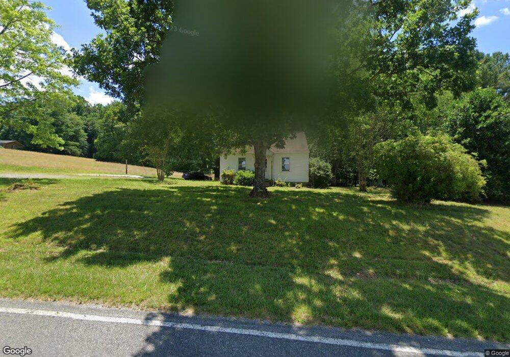
798 Black Mountain Rd Pilot Mountain, NC 27041
Estimated Value: $153,000
2
Beds
1
Bath
1,886
Sq Ft
$81/Sq Ft
Est. Value
About This Home
This home is located at 798 Black Mountain Rd, Pilot Mountain, NC 27041 and is currently estimated at $153,000, approximately $81 per square foot. 798 Black Mountain Rd is a home with nearby schools including Pilot Mountain Elementary School, Pilot Mountain Middle School, and East Surry High School.
Ownership History
Date
Name
Owned For
Owner Type
Purchase Details
Closed on
Aug 31, 2022
Sold by
Harlie Lee Gordon Trust
Bought by
Ford Sandra Gordon and Ford Michael O
Current Estimated Value
Home Financials for this Owner
Home Financials are based on the most recent Mortgage that was taken out on this home.
Original Mortgage
$107,000
Interest Rate
5.09%
Mortgage Type
New Conventional
Purchase Details
Closed on
Jul 6, 2022
Sold by
Harlie Lee Gordon Trust
Bought by
Denny Joseph R
Home Financials for this Owner
Home Financials are based on the most recent Mortgage that was taken out on this home.
Original Mortgage
$107,000
Interest Rate
5.09%
Mortgage Type
New Conventional
Create a Home Valuation Report for This Property
The Home Valuation Report is an in-depth analysis detailing your home's value as well as a comparison with similar homes in the area
Purchase History
| Date | Buyer | Sale Price | Title Company |
|---|---|---|---|
| Ford Sandra Gordon | -- | -- | |
| Ford Sandra Gordon | -- | None Listed On Document | |
| Denny Joseph R | $107,000 | Royster Brian A | |
| Denny Joseph R | $107,000 | Royster Brian A |
Source: Public Records
Mortgage History
| Date | Status | Borrower | Loan Amount |
|---|---|---|---|
| Previous Owner | Denny Joseph R | $107,000 |
Source: Public Records
Tax History
| Year | Tax Paid | Tax Assessment Tax Assessment Total Assessment is a certain percentage of the fair market value that is determined by local assessors to be the total taxable value of land and additions on the property. | Land | Improvement |
|---|---|---|---|---|
| 2025 | $520 | $95,330 | $93,830 | $1,500 |
| 2024 | $561 | $95,330 | $93,830 | $1,500 |
| 2023 | $551 | $95,330 | $93,830 | $1,500 |
| 2022 | $1,029 | $169,430 | $140,400 | $29,030 |
| 2021 | $1,048 | $169,430 | $140,400 | $29,030 |
| 2020 | $1,033 | $158,810 | $129,600 | $29,210 |
| 2019 | $1,030 | $158,810 | $0 | $0 |
| 2018 | $1,011 | $158,810 | $0 | $0 |
| 2017 | $1,027 | $158,810 | $0 | $0 |
| 2016 | $1,027 | $158,810 | $0 | $0 |
| 2013 | -- | $158,010 | $0 | $0 |
Source: Public Records
Map
Nearby Homes
- 273 Olde Pilot Trail
- 536 Black Mountain Rd
- TBD Golf Course Rd
- 226 Lola Ln Unit 103
- 0 S Key St
- 00 Whitaker Chapel Rd Unit 2
- 00 Whitaker Chapel Rd Unit 1
- 00 Whitaker Chapel Rd Unit 10
- 765 Golf Course Rd
- 00 Golf Course Rd
- 0 Heatherly Creek Dr
- 0 Pine Ridge Trail
- 00 Jim McKinney Rd
- o N Carolina 268
- 0 N Carolina 268
- 1015 Patterson Farm Rd
- 713 Old Barn Cir
- 267 S Boyles St
- 710 Saddle Dr
- 0 N Old 52 Rd Unit 1203335
- 770 Black Mountain Rd
- 142 Reid Denny Way
- 726 Black Mountain Rd
- 224 Reid Denny Way
- 856 Black Mountain Rd
- 205 Reid Denny Way
- 731 Black Mountain Rd
- 181 Olde Pilot Trail
- 971 Black Mountain Rd
- 605 Black Mountain Rd
- 272 Olde Pilot Trail
- 632 Black Mountain Rd
- TBD Mcdaniels Rd
- 1006 Black Mountain Rd
- 997 Black Mountain Rd
- 1024 Black Mountain Rd
- 539 Black Mountain Rd
- 1038 Black Mountain Rd
- 1043 Black Mountain Rd
- 175 Sandtrap Ln
Your Personal Tour Guide
Ask me questions while you tour the home.